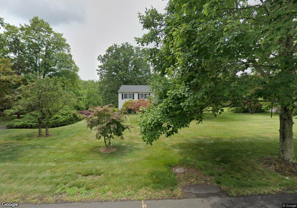
361 S Maple Ave Basking Ridge, NJ 07920
Estimated Value: $941,224 - $1,091,000
Studio
--
Bath
2,352
Sq Ft
$425/Sq Ft
Est. Value
About This Home
This home is located at 361 S Maple Ave, Basking Ridge, NJ 07920 and is currently estimated at $999,306, approximately $424 per square foot. 361 S Maple Ave is a home located in Somerset County with nearby schools including Cedar Hill Elementary School, Oak Street Elementary School, and William Annin Middle School.
Ownership History
Date
Name
Owned For
Owner Type
Purchase Details
Closed on
Jul 9, 2007
Sold by
Lynch Shawn
Bought by
Huang Chin and Xu Yufen
Current Estimated Value
Home Financials for this Owner
Home Financials are based on the most recent Mortgage that was taken out on this home.
Original Mortgage
$250,000
Outstanding Balance
$153,130
Interest Rate
6.12%
Mortgage Type
Purchase Money Mortgage
Estimated Equity
$846,176
Purchase Details
Closed on
Jul 13, 2006
Sold by
Lewandowski Isabel M
Bought by
Lynch Shawn
Home Financials for this Owner
Home Financials are based on the most recent Mortgage that was taken out on this home.
Original Mortgage
$167,700
Interest Rate
6.67%
Mortgage Type
Stand Alone Second
Create a Home Valuation Report for This Property
The Home Valuation Report is an in-depth analysis detailing your home's value as well as a comparison with similar homes in the area
Home Values in the Area
Average Home Value in this Area
Purchase History
| Date | Buyer | Sale Price | Title Company |
|---|---|---|---|
| Huang Chin | $698,800 | Fidelity Natl Title Ins Co | |
| Lynch Shawn | $559,000 | -- | |
| Lyncil Shawn | $559,000 | None Available |
Source: Public Records
Mortgage History
| Date | Status | Borrower | Loan Amount |
|---|---|---|---|
| Open | Huang Chin | $250,000 | |
| Previous Owner | Lyncil Shawn | $167,700 | |
| Previous Owner | Lynch Shawn | $391,000 |
Source: Public Records
Tax History
| Year | Tax Paid | Tax Assessment Tax Assessment Total Assessment is a certain percentage of the fair market value that is determined by local assessors to be the total taxable value of land and additions on the property. | Land | Improvement |
|---|---|---|---|---|
| 2025 | $12,401 | $750,400 | $350,500 | $399,900 |
| 2024 | $12,401 | $697,100 | $328,000 | $369,100 |
| 2023 | $12,457 | $660,500 | $328,000 | $332,500 |
| 2022 | $12,106 | $602,000 | $328,000 | $274,000 |
| 2021 | $12,276 | $581,800 | $328,000 | $253,800 |
| 2020 | $11,465 | $547,500 | $334,600 | $212,900 |
| 2019 | $11,523 | $566,500 | $341,200 | $225,300 |
| 2018 | $11,178 | $557,500 | $332,200 | $225,300 |
| 2017 | $11,172 | $561,700 | $332,200 | $229,500 |
| 2016 | $11,368 | $582,700 | $332,200 | $250,500 |
| 2015 | $11,163 | $582,600 | $327,700 | $254,900 |
| 2014 | $10,923 | $564,800 | $327,700 | $237,100 |
Source: Public Records
Map
Nearby Homes
- 110 Village Dr
- 14 Bradford Ln
- 47 Dexter Dr N
- 64 W Rayburn Rd
- 80 Shawnee Path
- 36 Debra Ln
- 33 Juniper Way
- 256 Old Forge Rd
- 18 Juniper Way
- 134 Spencer Rd
- 168 Bungalow Terrace
- 160 S Finley Ave
- 128 Old Forge Rd
- 40 Rankin Ave
- 81 Atlas Rd
- 262 Skyline Dr
- 135 Woods End Dr
- 24 Wharton Way
- 34 Knollcroft Rd
- 7 Valley View Dr
Your Personal Tour Guide
Ask me questions while you tour the home.