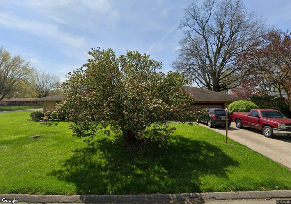
3615 Westfield Dr Anderson, IN 46011
Estimated Value: $202,000 - $254,000
3
Beds
2
Baths
2,085
Sq Ft
$112/Sq Ft
Est. Value
About This Home
This home is located at 3615 Westfield Dr, Anderson, IN 46011 and is currently estimated at $232,940, approximately $111 per square foot. 3615 Westfield Dr is a home located in Madison County with nearby schools including Anderson Elementary School, Highland Middle School, and Anderson High School.
Ownership History
Date
Name
Owned For
Owner Type
Purchase Details
Closed on
Apr 28, 2006
Sold by
Davis John B and Davis Annastacia V
Bought by
Hampton James and Hampton Ruth E
Current Estimated Value
Home Financials for this Owner
Home Financials are based on the most recent Mortgage that was taken out on this home.
Original Mortgage
$118,838
Outstanding Balance
$67,573
Interest Rate
6.37%
Mortgage Type
FHA
Estimated Equity
$165,367
Create a Home Valuation Report for This Property
The Home Valuation Report is an in-depth analysis detailing your home's value as well as a comparison with similar homes in the area
Home Values in the Area
Average Home Value in this Area
Purchase History
| Date | Buyer | Sale Price | Title Company |
|---|---|---|---|
| Hampton James | -- | -- |
Source: Public Records
Mortgage History
| Date | Status | Borrower | Loan Amount |
|---|---|---|---|
| Open | Hampton James | $118,838 |
Source: Public Records
Tax History
| Year | Tax Paid | Tax Assessment Tax Assessment Total Assessment is a certain percentage of the fair market value that is determined by local assessors to be the total taxable value of land and additions on the property. | Land | Improvement |
|---|---|---|---|---|
| 2025 | $1,499 | $151,700 | $15,900 | $135,800 |
| 2024 | $1,499 | $137,500 | $15,900 | $121,600 |
| 2023 | $1,378 | $125,800 | $15,100 | $110,700 |
| 2022 | $1,362 | $129,300 | $14,500 | $114,800 |
| 2021 | $1,293 | $118,500 | $14,300 | $104,200 |
| 2020 | $1,231 | $112,800 | $13,700 | $99,100 |
| 2019 | $1,198 | $109,900 | $13,700 | $96,200 |
| 2018 | $1,152 | $103,700 | $13,700 | $90,000 |
| 2017 | $926 | $93,300 | $12,500 | $80,800 |
| 2016 | $939 | $95,200 | $12,500 | $82,700 |
| 2014 | $837 | $93,800 | $12,500 | $81,300 |
| 2013 | $837 | $98,800 | $12,500 | $86,300 |
Source: Public Records
Map
Nearby Homes
- 3519 Oakwood Dr
- 34 Colony Rd
- 2116 Manger Ln
- 1236 Park Rd
- 1820 Euclid Dr
- 708 Washington Ct
- 1117 Balfour Rd
- 223 Somerville Rd
- 807 Bittersweet Ln
- 204 S Creedmoor Way
- 925 Shellbark Rd
- 2502 Horton Dr
- 2418 W 18th St
- 1423 Fountain St
- 15 S Creedmoor Way
- 0 Fulton St Unit MBR22083595
- 0 Fulton St Unit MBR22095087
- 1008 Malibu Dr
- 1807 Walton St
- 1410 Walton St
- 1815 Ivy Dr
- 3623 Westfield Dr
- 3616 Westfield Dr
- 3537 Westfield Dr
- 3608 Westfield Dr
- 3606 Redwood Rd
- 3624 Westfield Dr
- 3626 Redwood Rd
- 3542 Westfield Dr
- 3530 Redwood Rd
- 3631 Westfield Dr
- 3632 Westfield Dr
- 3634 Redwood Rd
- 3529 Westfield Dr
- 3534 Westfield Dr
- 3619 Laurel Ln
- 3611 Laurel Ln
- 3522 Redwood Rd
- 3627 Laurel Ln
- 3706 Redwood Rd
Your Personal Tour Guide
Ask me questions while you tour the home.