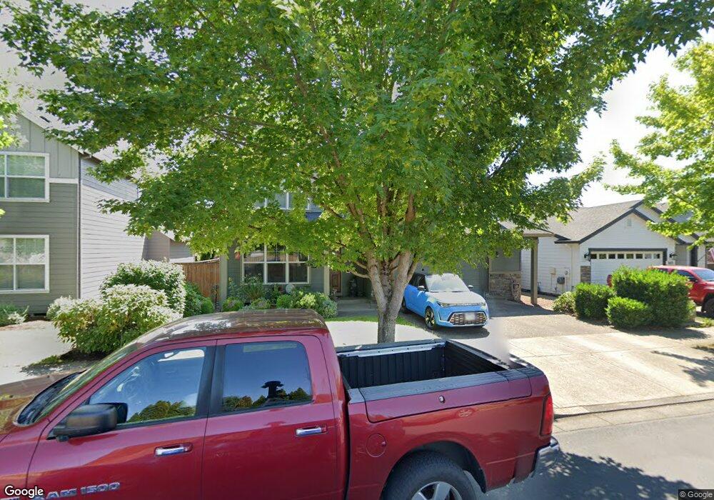
3617 Ebbets St Forest Grove, OR 97116
Estimated Value: $641,124 - $718,000
4
Beds
3
Baths
3,012
Sq Ft
$226/Sq Ft
Est. Value
About This Home
This home is located at 3617 Ebbets St, Forest Grove, OR 97116 and is currently estimated at $679,281, approximately $225 per square foot. 3617 Ebbets St is a home located in Washington County with nearby schools including Harvey Clarke Elementary School, Tom McCall Upper Elementary School, and Neil Armstrong Middle School.
Ownership History
Date
Name
Owned For
Owner Type
Purchase Details
Closed on
Nov 8, 2010
Sold by
Stone Bridge Homes Nw Llc
Bought by
Larsen Robert R and Haynes Janette K
Current Estimated Value
Home Financials for this Owner
Home Financials are based on the most recent Mortgage that was taken out on this home.
Original Mortgage
$304,485
Outstanding Balance
$198,907
Interest Rate
4.23%
Mortgage Type
VA
Estimated Equity
$480,374
Create a Home Valuation Report for This Property
The Home Valuation Report is an in-depth analysis detailing your home's value as well as a comparison with similar homes in the area
Purchase History
| Date | Buyer | Sale Price | Title Company |
|---|---|---|---|
| Larsen Robert R | $294,758 | First American |
Source: Public Records
Mortgage History
| Date | Status | Borrower | Loan Amount |
|---|---|---|---|
| Open | Larsen Robert R | $304,485 |
Source: Public Records
Tax History
| Year | Tax Paid | Tax Assessment Tax Assessment Total Assessment is a certain percentage of the fair market value that is determined by local assessors to be the total taxable value of land and additions on the property. | Land | Improvement |
|---|---|---|---|---|
| 2026 | $6,840 | $384,090 | -- | -- |
| 2025 | $6,840 | $372,910 | -- | -- |
| 2024 | $6,598 | $362,050 | -- | -- |
| 2023 | $6,598 | $351,510 | $0 | $0 |
| 2022 | $5,770 | $351,510 | $0 | $0 |
| 2021 | $5,695 | $331,340 | $0 | $0 |
| 2020 | $5,664 | $321,690 | $0 | $0 |
| 2019 | $5,538 | $312,330 | $0 | $0 |
| 2018 | $5,368 | $303,240 | $0 | $0 |
| 2017 | $5,202 | $294,410 | $0 | $0 |
| 2016 | $5,056 | $285,840 | $0 | $0 |
| 2015 | $4,861 | $277,520 | $0 | $0 |
| 2014 | $4,838 | $269,440 | $0 | $0 |
Source: Public Records
Map
Nearby Homes
- 1138 37th Ave
- 0 NW David Hill Rd Unit 279696115
- 3426 Doubletree St
- 3658 Tiana St
- 3651 Tiana St
- 1627 36th Ave
- 1658 36th Place
- 2117 36th Ave
- 2133 36th Ave Unit Lot 62
- 1820 NW Thatcher Rd
- 875 Butte Dr
- 873 Butte Dr
- 865 Glade Ave
- 3305 Butte Dr
- 865 Butte Dr
- 1224 Alyssum Ave
- 44725 NW David Hill Rd
- 869 Butte Dr
- 867 Butte Dr
- 911 Rosebud Ct
Your Personal Tour Guide
Ask me questions while you tour the home.