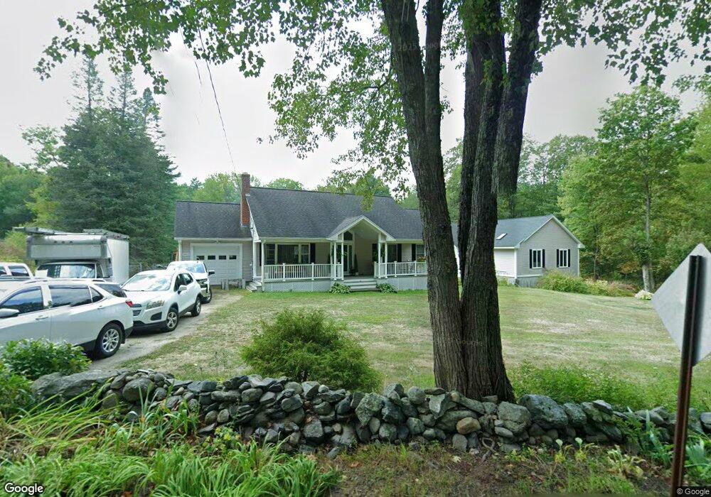
362 Burrage St Lunenburg, MA 01462
Estimated Value: $496,982 - $533,000
3
Beds
2
Baths
1,400
Sq Ft
$370/Sq Ft
Est. Value
About This Home
This home is located at 362 Burrage St, Lunenburg, MA 01462 and is currently estimated at $517,496, approximately $369 per square foot. 362 Burrage St is a home located in Worcester County with nearby schools including Lunenburg Primary School and Lunenburg High School.
Ownership History
Date
Name
Owned For
Owner Type
Purchase Details
Closed on
Jul 25, 2002
Sold by
Esselman Joseph R
Bought by
Boucher Yvon
Current Estimated Value
Home Financials for this Owner
Home Financials are based on the most recent Mortgage that was taken out on this home.
Original Mortgage
$174,580
Outstanding Balance
$74,113
Interest Rate
6.73%
Mortgage Type
Purchase Money Mortgage
Estimated Equity
$443,383
Purchase Details
Closed on
Jun 29, 1995
Sold by
Lassell Michiko
Bought by
Esselman Joseph R and Esselman Odette C
Home Financials for this Owner
Home Financials are based on the most recent Mortgage that was taken out on this home.
Original Mortgage
$127,812
Interest Rate
7.8%
Mortgage Type
Purchase Money Mortgage
Create a Home Valuation Report for This Property
The Home Valuation Report is an in-depth analysis detailing your home's value as well as a comparison with similar homes in the area
Home Values in the Area
Average Home Value in this Area
Purchase History
| Date | Buyer | Sale Price | Title Company |
|---|---|---|---|
| Boucher Yvon | $176,000 | -- | |
| Esselman Joseph R | $130,000 | -- |
Source: Public Records
Mortgage History
| Date | Status | Borrower | Loan Amount |
|---|---|---|---|
| Open | Esselman Joseph R | $174,580 | |
| Previous Owner | Esselman Joseph R | $35,000 | |
| Previous Owner | Esselman Joseph R | $127,812 |
Source: Public Records
Tax History
| Year | Tax Paid | Tax Assessment Tax Assessment Total Assessment is a certain percentage of the fair market value that is determined by local assessors to be the total taxable value of land and additions on the property. | Land | Improvement |
|---|---|---|---|---|
| 2025 | $7,012 | $488,300 | $141,900 | $346,400 |
| 2024 | $6,604 | $468,400 | $133,900 | $334,500 |
| 2023 | $6,306 | $431,300 | $121,700 | $309,600 |
| 2022 | $5,858 | $340,800 | $101,500 | $239,300 |
| 2020 | $6,239 | $344,300 | $101,200 | $243,100 |
| 2019 | $6,047 | $323,700 | $95,300 | $228,400 |
| 2018 | $5,754 | $292,100 | $95,300 | $196,800 |
| 2017 | $5,642 | $282,400 | $91,000 | $191,400 |
| 2016 | $5,412 | $276,000 | $86,600 | $189,400 |
| 2015 | $4,587 | $250,400 | $82,200 | $168,200 |
Source: Public Records
Map
Nearby Homes
- 11 Longwood Dr
- 45 Spring St
- 309 Reservoir Rd
- 110 Burrage St
- 2 Gabes Place
- 146 Elmwood Rd
- 44 Fire Road 12
- 1790 Massachusetts Ave Unit U
- 1790 Massachusetts Ave Unit 32
- 1790 Massachusetts Ave Unit 25
- 1790 Massachusetts Ave Unit Lot V
- 1 Whitney Rd
- 146-148 Kilburn St
- 6 Wheeler Rd
- Lot 5 Townsend Rd
- 22 Townsend Rd
- 11 Ambrose Way Unit 11
- 43 Ambrose Way Unit 43
- 21 Ambrose Way Unit 21
- 33 Ambrose Way Unit 33
Your Personal Tour Guide
Ask me questions while you tour the home.