Estimated Value: $213,000 - $262,000
3
Beds
2
Baths
1,176
Sq Ft
$203/Sq Ft
Est. Value
About This Home
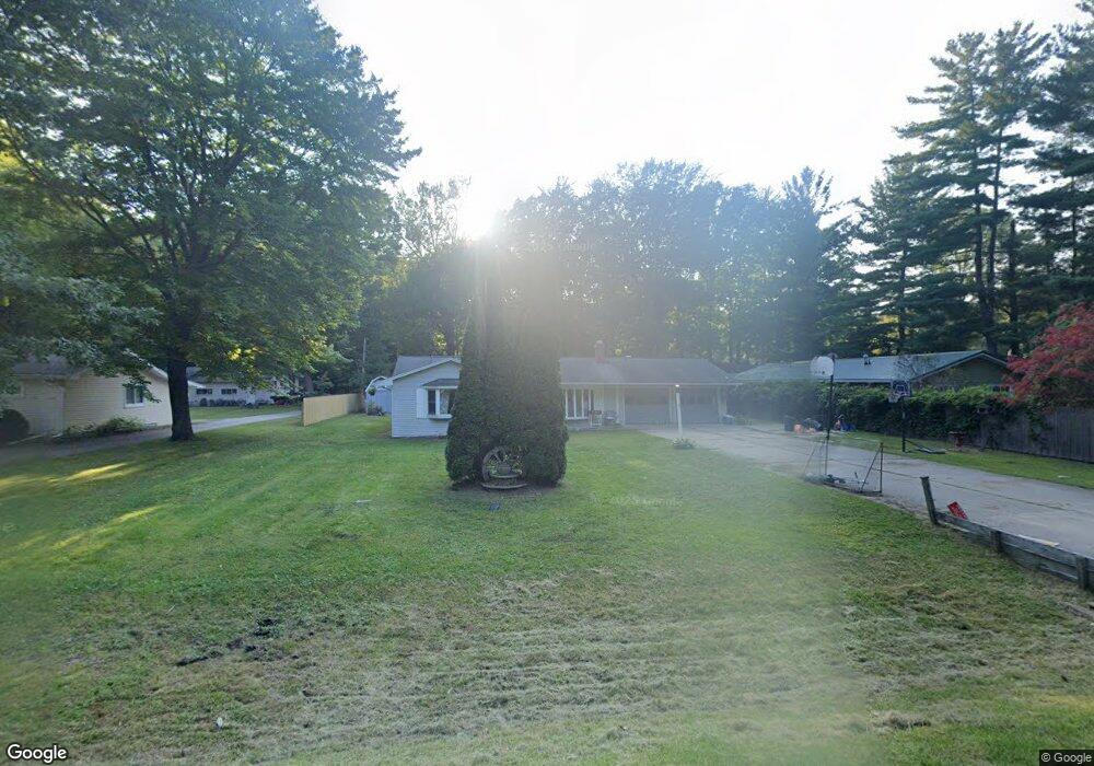
This home is located at 3623 Campbell Rd, Clyde, MI 48049 and is currently estimated at $238,737, approximately $203 per square foot. 3623 Campbell Rd is a home located in St. Clair County with nearby schools including Edison Elementary School, Fort Gratiot Middle School, and Port Huron Northern High School.
Ownership History
Date
Name
Owned For
Owner Type
Purchase Details
Closed on
Apr 4, 2008
Sold by
Wolfe Nelson C and Wolfe Valerie C
Bought by
Folske Jay
Current Estimated Value
Home Financials for this Owner
Home Financials are based on the most recent Mortgage that was taken out on this home.
Original Mortgage
$100,000
Outstanding Balance
$63,741
Interest Rate
6.09%
Mortgage Type
Future Advance Clause Open End Mortgage
Estimated Equity
$174,996
Create a Home Valuation Report for This Property
The Home Valuation Report is an in-depth analysis detailing your home's value as well as a comparison with similar homes in the area
Home Values in the Area
Average Home Value in this Area
Purchase History
| Date | Buyer | Sale Price | Title Company |
|---|---|---|---|
| Folske Jay | $125,000 | Devon Title Agency |
Source: Public Records
Mortgage History
| Date | Status | Borrower | Loan Amount |
|---|---|---|---|
| Open | Folske Jay | $100,000 |
Source: Public Records
Tax History
| Year | Tax Paid | Tax Assessment Tax Assessment Total Assessment is a certain percentage of the fair market value that is determined by local assessors to be the total taxable value of land and additions on the property. | Land | Improvement |
|---|---|---|---|---|
| 2025 | $2,039 | $115,700 | $0 | $0 |
| 2024 | $1,978 | $111,100 | $0 | $0 |
| 2023 | $1,855 | $98,200 | $0 | $0 |
| 2022 | $2,139 | $88,000 | $0 | $0 |
| 2020 | $2,012 | $75,400 | $0 | $75,400 |
| 2019 | $1,975 | $64,000 | $0 | $0 |
| 2018 | $1,929 | $51,300 | $0 | $0 |
| 2017 | $1,890 | $51,500 | $0 | $0 |
| 2016 | $1,546 | $51,500 | $0 | $0 |
| 2015 | -- | $44,700 | $0 | $44,700 |
| 2014 | -- | $42,600 | $0 | $42,600 |
| 2013 | -- | $53,800 | $0 | $0 |
Source: Public Records
Map
Nearby Homes
- Lot #9 Thornton Dr
- 4404 N River Rd
- 3559 Lightle Rd
- 3679 Old Farm Ln
- 4570 Atkins Rd
- 3349 Charmwood Dr
- 4167 N River Rd
- 4134 N River Rd
- 0000 Atkins Atkins Rd
- 3971 N River Rd
- 5614 Atkins Rd
- 4224 Atkins Rd
- 3669 Connie Ln
- 3975 Wadhams Rd
- 3865 Krafft Rd
- 3345 Beach Rd
- 3948 Stoney Ridge Dr
- 3115 Spruce Dr
- 4901 Lorwood Dr
- 3935 Capital Ave
- 3605 Campbell Rd
- 3652 Thornton Ln
- 3646 Thornton Ln
- 3653 Thornton Ln
- 3585 Campbell Rd
- 3585 Campbell Rd
- 3620 Campbell Rd
- 3646 Campbell Rd
- 3647 Thornton Ln
- 3590 Campbell Rd
- 3590 Campbell Rd
- 3583 Campbell Rd
- 3675 Campbell Rd
- 3654 Campbell Rd
- 3641 Thornton Ln
- 3666 Campbell Rd
- 3579 Campbell Rd
- 3579 Campbell Rd
- 3582 Campbell Rd
- 3642 Campbell Rd
Your Personal Tour Guide
Ask me questions while you tour the home.