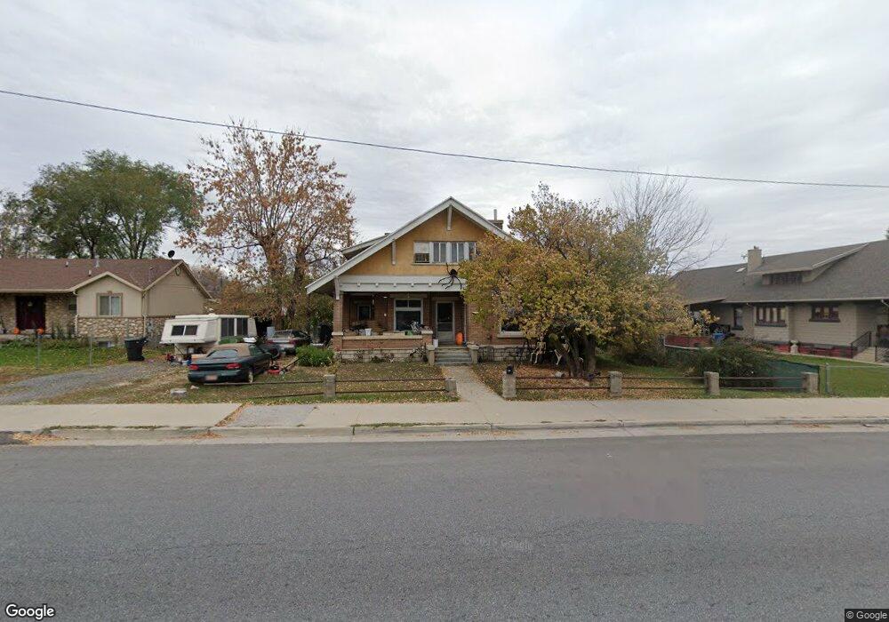
363 N Main St Payson, UT 84651
Estimated Value: $441,728 - $515,000
5
Beds
1
Bath
2,844
Sq Ft
$166/Sq Ft
Est. Value
About This Home
This home is located at 363 N Main St, Payson, UT 84651 and is currently estimated at $471,682, approximately $165 per square foot. 363 N Main St is a home located in Utah County with nearby schools including Taylor Elementary School, Salem Junior High School, and Valley View Middle School.
Ownership History
Date
Name
Owned For
Owner Type
Purchase Details
Closed on
Dec 9, 2016
Sold by
Lant David R
Bought by
Hansen Shawn David
Current Estimated Value
Home Financials for this Owner
Home Financials are based on the most recent Mortgage that was taken out on this home.
Original Mortgage
$164,957
Outstanding Balance
$134,137
Interest Rate
3.75%
Mortgage Type
FHA
Estimated Equity
$337,545
Purchase Details
Closed on
Aug 31, 2016
Sold by
Lant David R
Bought by
Lant David R
Purchase Details
Closed on
Mar 16, 1999
Sold by
Lant Aillen P
Bought by
Lant Aileen P
Create a Home Valuation Report for This Property
The Home Valuation Report is an in-depth analysis detailing your home's value as well as a comparison with similar homes in the area
Home Values in the Area
Average Home Value in this Area
Purchase History
| Date | Buyer | Sale Price | Title Company |
|---|---|---|---|
| Hansen Shawn David | -- | Title West | |
| Lant David R | -- | None Available | |
| Lant Aileen P | -- | -- |
Source: Public Records
Mortgage History
| Date | Status | Borrower | Loan Amount |
|---|---|---|---|
| Open | Hansen Shawn David | $164,957 |
Source: Public Records
Tax History
| Year | Tax Paid | Tax Assessment Tax Assessment Total Assessment is a certain percentage of the fair market value that is determined by local assessors to be the total taxable value of land and additions on the property. | Land | Improvement |
|---|---|---|---|---|
| 2025 | $2,018 | $206,635 | -- | -- |
| 2024 | $2,018 | $205,370 | $0 | $0 |
| 2023 | $2,106 | $214,885 | $0 | $0 |
| 2022 | $1,941 | $194,810 | $0 | $0 |
| 2021 | $1,649 | $265,400 | $91,500 | $173,900 |
| 2020 | $1,530 | $240,900 | $79,600 | $161,300 |
| 2019 | $1,312 | $211,900 | $71,600 | $140,300 |
| 2018 | $1,173 | $182,500 | $60,500 | $122,000 |
| 2017 | $1,074 | $89,870 | $0 | $0 |
| 2016 | $1,044 | $86,790 | $0 | $0 |
| 2015 | $933 | $77,055 | $0 | $0 |
| 2014 | -- | $70,400 | $0 | $0 |
Source: Public Records
Map
Nearby Homes
- 420 N 150 W
- 118 E 100 N
- 823 N 400 W
- 433 E 450 N
- 1287 N 1390 E Unit 25-96
- 443 E 450 N
- 446 N 460 E Unit 9
- 228 E Utah Ave
- 383 W 625 N Unit A-D
- 339 N 500 E Unit 3
- 327 N 500 E Unit 2
- 331 N 500 E Unit 2
- 574 N 450 E
- 361 W 625 N Unit A-D
- 332 N 500 E
- 116 E 100 S
- 128 S 300 W
- 451 N 500 W
- 451 N 500 W Unit 39
- 555 N 500 W Unit 24
Your Personal Tour Guide
Ask me questions while you tour the home.