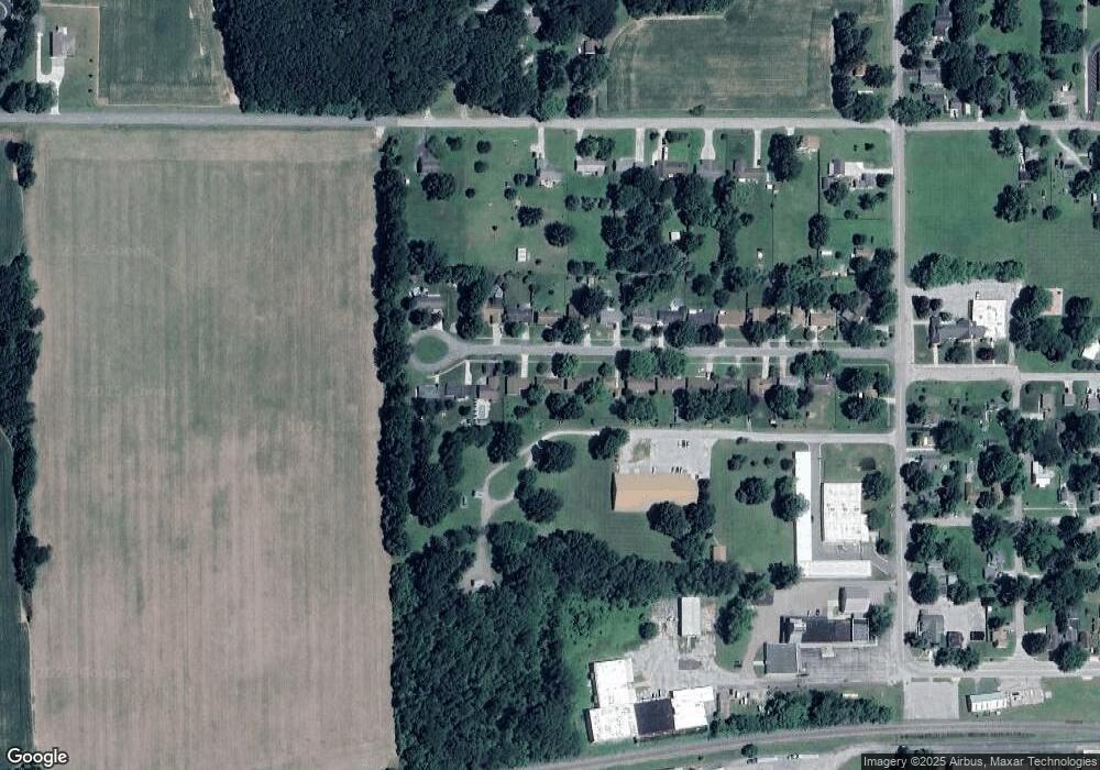
364 Maple St Coloma, MI 49038
Estimated Value: $228,000 - $261,955
3
Beds
2
Baths
1,229
Sq Ft
$198/Sq Ft
Est. Value
About This Home
This home is located at 364 Maple St, Coloma, MI 49038 and is currently estimated at $243,739, approximately $198 per square foot. 364 Maple St is a home located in Berrien County with nearby schools including Coloma Elementary School, Coloma Intermediate School, and Coloma Junior High School.
Ownership History
Date
Name
Owned For
Owner Type
Purchase Details
Closed on
Feb 18, 2010
Sold by
Burrow James R
Bought by
Burrow James R and Ridge Jennifer L
Current Estimated Value
Purchase Details
Closed on
Jun 6, 2005
Sold by
Hazen Darlene J and Ridge Linda F
Bought by
Burrow James R
Home Financials for this Owner
Home Financials are based on the most recent Mortgage that was taken out on this home.
Original Mortgage
$99,500
Outstanding Balance
$52,446
Interest Rate
5.91%
Mortgage Type
Seller Take Back
Estimated Equity
$191,293
Purchase Details
Closed on
Jun 29, 2000
Purchase Details
Closed on
Aug 24, 1992
Purchase Details
Closed on
Jul 30, 1985
Create a Home Valuation Report for This Property
The Home Valuation Report is an in-depth analysis detailing your home's value as well as a comparison with similar homes in the area
Home Values in the Area
Average Home Value in this Area
Purchase History
We collect this data history from publicly available records. To have your information removed, we recommend requesting removal directly through your county’s website.
| Date | Buyer | Sale Price | Title Company |
|---|---|---|---|
| Burrow James R | -- | None Available | |
| Burrow James R | $99,500 | -- | |
| -- | $89,900 | -- | |
| -- | $64,500 | -- | |
| -- | $45,700 | -- |
Source: Public Records
Mortgage History
We collect this data history from publicly available records. To have your information removed, we recommend requesting removal directly through your county’s website.
| Date | Status | Borrower | Loan Amount |
|---|---|---|---|
| Open | Burrow James R | $99,500 |
Source: Public Records
Tax History
| Year | Tax Paid | Tax Assessment Tax Assessment Total Assessment is a certain percentage of the fair market value that is determined by local assessors to be the total taxable value of land and additions on the property. | Land | Improvement |
|---|---|---|---|---|
| 2025 | $2,489 | $130,900 | $0 | $0 |
| 2024 | $2,029 | $130,000 | $0 | $0 |
| 2023 | $1,942 | $105,500 | $0 | $0 |
| 2022 | $1,850 | $94,600 | $0 | $0 |
| 2021 | $2,249 | $81,600 | $6,600 | $75,000 |
| 2020 | $2,252 | $74,500 | $0 | $0 |
| 2019 | $2,212 | $56,900 | $6,400 | $50,500 |
| 2018 | $2,161 | $56,900 | $0 | $0 |
| 2017 | $2,052 | $56,000 | $0 | $0 |
| 2016 | $2,013 | $57,600 | $0 | $0 |
| 2015 | $2,003 | $59,400 | $0 | $0 |
| 2014 | $1,592 | $50,100 | $0 | $0 |
Source: Public Records
Map
Nearby Homes
- 3190/3198 Prospect St
- 189 Banks St
- 264 Leedy St
- 208 S Church St
- 6754 Paw Ave
- 6783 Red Arrow Hwy
- 5021 Weatherford Dr
- 3710 Boyer Rd
- 6876 Shore Dr
- 4759 Shore Dr
- 5074 Woodward
- 5081 Woodward
- 7039 Curtis Dr
- 5499 Topanga Dr
- 5036 Shoreview Dr
- 5005 Shoreview Dr
- 0 Mountain Rd
- 7030 N Maple Dr
- 5586 Wendzel Dr
- 2916 Pershing Dr
Your Personal Tour Guide
Ask me questions while you tour the home.