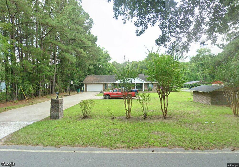
364 Stuart Point Rd Seabrook, SC 29940
Seabrook NeighborhoodEstimated Value: $349,107 - $570,000
1
Bed
2
Baths
1,681
Sq Ft
$273/Sq Ft
Est. Value
About This Home
This home is located at 364 Stuart Point Rd, Seabrook, SC 29940 and is currently estimated at $459,277, approximately $273 per square foot. 364 Stuart Point Rd is a home located in Beaufort County with nearby schools including Whale Branch Elementary School, Whale Branch Middle School, and Whale Branch Early College High School.
Ownership History
Date
Name
Owned For
Owner Type
Purchase Details
Closed on
Oct 19, 2024
Sold by
Delaney Benjamin
Bought by
Delaney Louise and Delaney Benjamin
Current Estimated Value
Purchase Details
Closed on
Dec 20, 2002
Sold by
Delaney Benjamin
Bought by
Delaney Louise
Home Financials for this Owner
Home Financials are based on the most recent Mortgage that was taken out on this home.
Original Mortgage
$121,500
Interest Rate
8.56%
Mortgage Type
Purchase Money Mortgage
Create a Home Valuation Report for This Property
The Home Valuation Report is an in-depth analysis detailing your home's value as well as a comparison with similar homes in the area
Home Values in the Area
Average Home Value in this Area
Purchase History
| Date | Buyer | Sale Price | Title Company |
|---|---|---|---|
| Delaney Louise | -- | None Listed On Document | |
| Delaney Louise | -- | None Listed On Document | |
| Delaney Louise | -- | -- |
Source: Public Records
Mortgage History
| Date | Status | Borrower | Loan Amount |
|---|---|---|---|
| Previous Owner | Delaney Louise | $121,500 |
Source: Public Records
Tax History
| Year | Tax Paid | Tax Assessment Tax Assessment Total Assessment is a certain percentage of the fair market value that is determined by local assessors to be the total taxable value of land and additions on the property. | Land | Improvement |
|---|---|---|---|---|
| 2025 | $3,253 | $10,690 | $0 | $0 |
| 2024 | $3,253 | $10,996 | $1,224 | $9,772 |
| 2023 | $100 | $10,996 | $1,224 | $9,772 |
| 2022 | $100 | $6,200 | $852 | $5,348 |
| 2021 | $100 | $6,200 | $852 | $5,348 |
| 2020 | $100 | $6,200 | $852 | $5,348 |
| 2019 | $100 | $6,200 | $852 | $5,348 |
| 2018 | $1,131 | $6,200 | $0 | $0 |
| 2017 | $997 | $5,520 | $0 | $0 |
| 2016 | $974 | $5,520 | $0 | $0 |
| 2014 | $720 | $5,520 | $0 | $0 |
Source: Public Records
Map
Nearby Homes
- 40 Creekmoor Ln
- 117 Teal Bluff Blvd
- 3 Sea Crest Ln
- 75 Ihly Farm Rd
- 380 Bruce K Smalls Dr
- 20 Crystal St
- 126 Stuart Point Rd
- 1843 Carolina Ave
- 1610 Columbia Dr
- 28 Jeannine Ct
- 1716 Jasperstone Cir
- 119 Teal Bluff Blvd
- 7 Tammy Ln
- 23 Seabrook Rd
- 23 Seabrook Center Rd
- 2074 Trask Pkwy
- 63 Seabrook Center Rd
- 67 Seabrook Center Rd
- 59 Seabrook Center Rd
- 24 Unity Ln
- 356 Stuart Point Rd
- 7 Delaney Cir
- 103 Delaney Cir
- 118 Delaney Cir
- 5 Ball Park Rd
- 4 Delaney Cir
- 335 Stuart Point Rd
- 25 Delaney Cir
- 22 Delaney Cir
- 27 Delaney Cir Unit !@123^
- 333 Stuart Point Rd
- 332 Stuart Point Rd
- 331 Stuart Point Rd
- 45 Delaney Cir
- 327 Stuart Point Rd
- 55 Delaney Cir
- 31 Delaney Cir
- 84 Delaney Cir
- 324 Stuart Point Rd
- 319 Stuart Point Rd
Your Personal Tour Guide
Ask me questions while you tour the home.