Estimated Value: $301,000 - $375,000
3
Beds
2
Baths
2,260
Sq Ft
$146/Sq Ft
Est. Value
About This Home
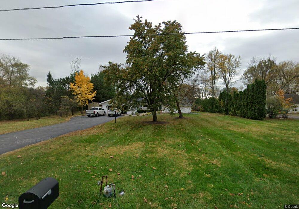
This home is located at 3647 Fort Amanda Rd, Lima, OH 45805 and is currently estimated at $330,474, approximately $146 per square foot. 3647 Fort Amanda Rd is a home located in Allen County with nearby schools including Maplewood Elementary School, Elmwood Elementary School, and Shawnee Middle School.
Ownership History
Date
Name
Owned For
Owner Type
Purchase Details
Closed on
Dec 23, 2014
Sold by
Pisle John D
Bought by
Fox Andrew L and Fox Heidi M
Current Estimated Value
Home Financials for this Owner
Home Financials are based on the most recent Mortgage that was taken out on this home.
Original Mortgage
$101,250
Outstanding Balance
$77,757
Interest Rate
3.99%
Mortgage Type
New Conventional
Estimated Equity
$252,717
Purchase Details
Closed on
Jun 29, 1993
Sold by
Herbst Michael M
Bought by
Pisle Russell I
Purchase Details
Closed on
Nov 19, 1992
Bought by
Herbst Michael M
Create a Home Valuation Report for This Property
The Home Valuation Report is an in-depth analysis detailing your home's value as well as a comparison with similar homes in the area
Home Values in the Area
Average Home Value in this Area
Purchase History
We collect this data history from publicly available records. To have your information removed, we recommend requesting removal directly through your county’s website.
| Date | Buyer | Sale Price | Title Company |
|---|---|---|---|
| Fox Andrew L | $141,300 | None Available | |
| Pisle Russell I | $101,500 | -- | |
| Herbst Michael M | $80,000 | -- |
Source: Public Records
Mortgage History
We collect this data history from publicly available records. To have your information removed, we recommend requesting removal directly through your county’s website.
| Date | Status | Borrower | Loan Amount |
|---|---|---|---|
| Open | Fox Andrew L | $101,250 |
Source: Public Records
Tax History
| Year | Tax Paid | Tax Assessment Tax Assessment Total Assessment is a certain percentage of the fair market value that is determined by local assessors to be the total taxable value of land and additions on the property. | Land | Improvement |
|---|---|---|---|---|
| 2024 | $4,861 | $99,200 | $22,930 | $76,270 |
| 2023 | $3,866 | $69,370 | $16,030 | $53,340 |
| 2022 | $3,895 | $69,370 | $16,030 | $53,340 |
| 2021 | $3,894 | $69,370 | $16,030 | $53,340 |
| 2020 | $2,684 | $64,120 | $15,680 | $48,440 |
| 2019 | $2,684 | $64,120 | $15,680 | $48,440 |
| 2018 | $2,428 | $64,120 | $15,680 | $48,440 |
| 2017 | $2,185 | $52,330 | $15,680 | $36,650 |
| 2016 | $2,189 | $52,330 | $15,680 | $36,650 |
| 2015 | $2,084 | $52,330 | $15,680 | $36,650 |
| 2014 | $2,084 | $50,410 | $12,640 | $37,770 |
| 2013 | $2,044 | $50,410 | $12,640 | $37,770 |
Source: Public Records
Map
Nearby Homes
- 2619 Gaithersburg Dr
- 2515 Alexandria Dr
- 115 Lanes End
- 4211 Fort Amanda Rd
- 4046 Cypress Ave
- 4054 Cypress Ave
- 4062 Cypress Ave
- 2175 Wyandot Dr
- 4039 Magnolia
- 3065 Lakeshore Dr
- 2905 Oak Hill Ct
- 4422 Indian Hill Dr
- 3441 Winston Ln
- 1540 Adak Ave
- 1515 Riverview Dr
- 2975 Zurmehly Rd
- 2869 Riverwalk Blvd
- 4259 Blue Spruce Ln
- 3061 Inwood Dr
- 1452 W Shore Dr
- 3647 Ft Amanda Rd
- 3675 Fort Amanda Rd
- 00 Fort Amanda Rd
- XXX Fort Amanda Rd
- 0000 Fort Amanda Rd
- 000 Fort Amanda Rd
- 00000 Fort Amanda Rd
- N/A Fort Amanda Rd
- 0 Fort Amanda Rd
- 3701 Fort Amanda Rd
- 3583 Fort Amanda Rd
- 2473 Struthmore Dr Unit C
- 2475 Struthmore Dr
- 2461 Struthmore Dr
- 2463 Struthmore Dr Unit B
- 3676 Fort Amanda Rd
- 3590 Fort Amanda Rd
- 3737 Fort Amanda Rd
- 2501 Struthmore Dr
- 3545 Fort Amanda Rd
Your Personal Tour Guide
Ask me questions while you tour the home.