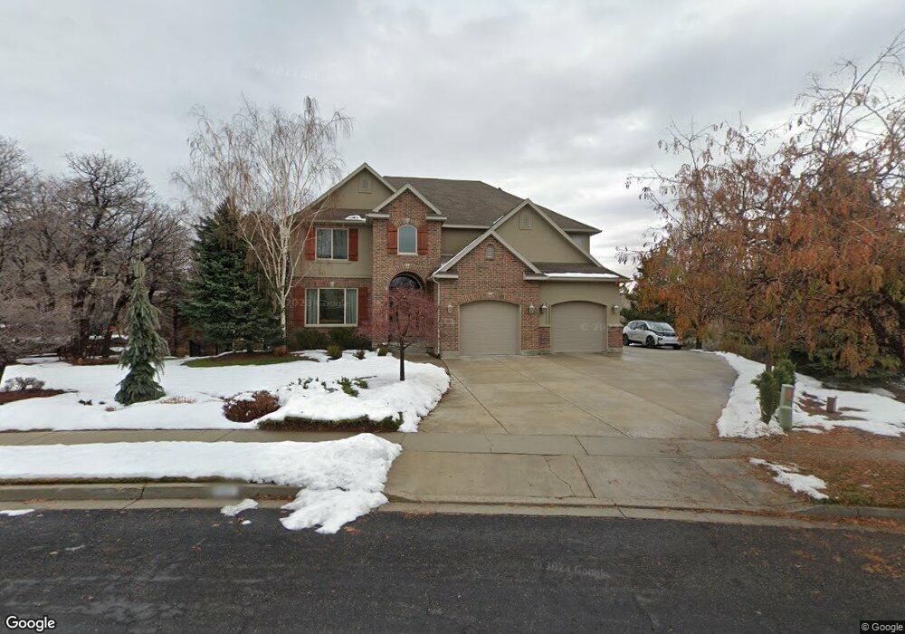
365 River Cir Alpine, UT 84004
Estimated Value: $1,204,000 - $1,323,929
3
Beds
3
Baths
5,000
Sq Ft
$251/Sq Ft
Est. Value
About This Home
This home is located at 365 River Cir, Alpine, UT 84004 and is currently estimated at $1,254,482, approximately $250 per square foot. 365 River Cir is a home located in Utah County with nearby schools including Westfield School, Timberline Middle School, and Lone Peak High School.
Ownership History
Date
Name
Owned For
Owner Type
Purchase Details
Closed on
Aug 12, 2021
Sold by
Fjeldsted Paul A and Fjeldsted Rosanne G
Bought by
Fjeldsted Paul and Fjeldsted Rosanne
Current Estimated Value
Purchase Details
Closed on
Nov 12, 2003
Sold by
Michael Porter Construction Inc
Bought by
Fjeldsted Paul A and Fjeldsted Rosanne G
Home Financials for this Owner
Home Financials are based on the most recent Mortgage that was taken out on this home.
Original Mortgage
$322,700
Outstanding Balance
$146,688
Interest Rate
5.72%
Mortgage Type
Purchase Money Mortgage
Estimated Equity
$1,107,794
Create a Home Valuation Report for This Property
The Home Valuation Report is an in-depth analysis detailing your home's value as well as a comparison with similar homes in the area
Home Values in the Area
Average Home Value in this Area
Purchase History
| Date | Buyer | Sale Price | Title Company |
|---|---|---|---|
| Fjeldsted Paul | -- | None Available | |
| Fjeldsted Paul A | -- | Affiliated First Title Comp |
Source: Public Records
Mortgage History
| Date | Status | Borrower | Loan Amount |
|---|---|---|---|
| Open | Fjeldsted Paul A | $322,700 | |
| Closed | Fjeldsted Paul A | $129,300 |
Source: Public Records
Tax History
| Year | Tax Paid | Tax Assessment Tax Assessment Total Assessment is a certain percentage of the fair market value that is determined by local assessors to be the total taxable value of land and additions on the property. | Land | Improvement |
|---|---|---|---|---|
| 2025 | $5,533 | $672,265 | -- | -- |
| 2024 | $5,533 | $644,875 | $0 | $0 |
| 2023 | $5,262 | $658,460 | $0 | $0 |
| 2022 | $5,905 | $717,530 | $0 | $0 |
| 2021 | $4,569 | $862,400 | $357,800 | $504,600 |
| 2020 | $4,492 | $829,900 | $325,300 | $504,600 |
| 2019 | $4,130 | $796,500 | $291,900 | $504,600 |
| 2018 | $3,854 | $734,300 | $275,200 | $459,100 |
| 2017 | $3,677 | $372,845 | $0 | $0 |
| 2016 | $3,773 | $356,675 | $0 | $0 |
| 2015 | $3,630 | $324,665 | $0 | $0 |
| 2014 | $3,266 | $288,915 | $0 | $0 |
Source: Public Records
Map
Nearby Homes
- 366 River Rd
- 259 Twin River Loop
- 250 S Main St Unit 25
- 250 S Main St Unit 9
- 250 S Main St Unit 7
- 243 W Conrad Ct
- 868 S Braddock Ln
- 596 S Cascade Ct
- 30 S Main St
- 184 S Pfeifferhorn Dr
- 248 Deerfield Dr
- 48 N 100 E
- 5843 W Century Heights Dr
- 875 S Blue Ridge Ln
- 11952 N 5880 W
- 5852 W Century Heights Dr
- 5983 W 11270 N Unit 4
- 5976 W 11270 N Unit 5
- 5984 W 11200 N Unit 1
- 5246 W 11200 N Unit 1
- 365 River Cir Unit 15
- 347 Twin River Loop
- 347 Twin River Loop Unit 16
- 387 River Cir
- 390 River Cir
- 390 River Cir Unit 8
- 325 Twin River Loop
- 312 River Cir Unit 47
- 409 River Cir
- 426 River Cir
- 322 River View Dr
- 305 Twin River Loop
- 358 River Rd
- 431 River Cir
- 351 River Rd
- 409 Fort Cir
- 456 River Cir
- 346 River View Dr
- 453 River Cir
- 456 River Cir
Your Personal Tour Guide
Ask me questions while you tour the home.