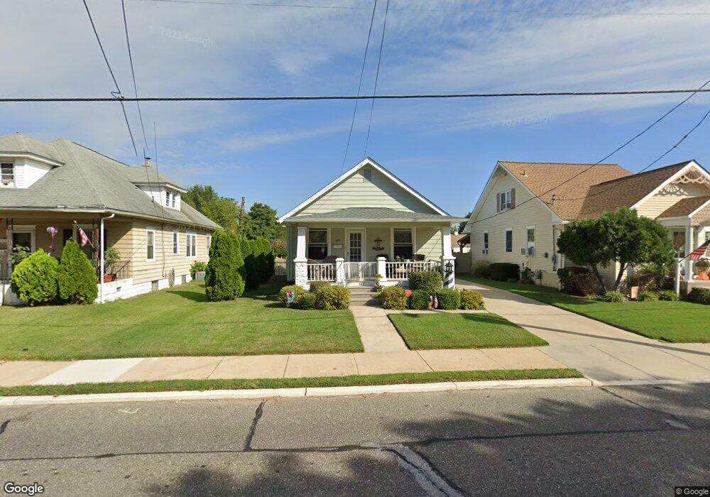
365 W Broad St Gibbstown, NJ 08027
Estimated Value: $171,000 - $265,000
Studio
--
Bath
944
Sq Ft
$235/Sq Ft
Est. Value
About This Home
This home is located at 365 W Broad St, Gibbstown, NJ 08027 and is currently estimated at $221,737, approximately $234 per square foot. 365 W Broad St is a home located in Gloucester County with nearby schools including Nehaunsey Middle School and Guardian Angels Regional School.
Ownership History
Date
Name
Owned For
Owner Type
Purchase Details
Closed on
Jan 15, 2020
Sold by
Capasso Brian and Capasso Lisa Capasso
Bought by
Capelli Rentals 365 Llc
Current Estimated Value
Home Financials for this Owner
Home Financials are based on the most recent Mortgage that was taken out on this home.
Interest Rate
3.64%
Purchase Details
Closed on
Oct 14, 2010
Sold by
Viereck Charline and Viereck Steven
Bought by
Capasso Lisa and Capasso Brian
Purchase Details
Closed on
Oct 30, 1998
Sold by
Pilger Mary
Bought by
Viereck Steven and Viereck Charline
Home Financials for this Owner
Home Financials are based on the most recent Mortgage that was taken out on this home.
Original Mortgage
$61,700
Interest Rate
7.37%
Purchase Details
Closed on
Feb 2, 1996
Sold by
Pilger Howard F and Pilger Rebecca M
Bought by
Pilger Howard F and Pilger Mary E
Create a Home Valuation Report for This Property
The Home Valuation Report is an in-depth analysis detailing your home's value as well as a comparison with similar homes in the area
Home Values in the Area
Average Home Value in this Area
Purchase History
| Date | Buyer | Sale Price | Title Company |
|---|---|---|---|
| Capelli Rentals 365 Llc | -- | -- | |
| Capasso Lisa | $85,000 | Victorian Title Agency Inc | |
| Viereck Steven | $65,000 | Pilgrim Title Agency | |
| Pilger Howard F | -- | -- |
Source: Public Records
Mortgage History
| Date | Status | Borrower | Loan Amount |
|---|---|---|---|
| Closed | Capelli Rentals 365 Llc | -- | |
| Previous Owner | Viereck Steven | $61,700 |
Source: Public Records
Tax History
| Year | Tax Paid | Tax Assessment Tax Assessment Total Assessment is a certain percentage of the fair market value that is determined by local assessors to be the total taxable value of land and additions on the property. | Land | Improvement |
|---|---|---|---|---|
| 2025 | $3,137 | $91,100 | $21,400 | $69,700 |
| 2024 | $2,972 | $91,100 | $21,400 | $69,700 |
| 2023 | $2,972 | $91,100 | $21,400 | $69,700 |
| 2022 | $2,974 | $91,100 | $21,400 | $69,700 |
| 2021 | $2,943 | $91,100 | $21,400 | $69,700 |
| 2020 | $2,984 | $91,100 | $21,400 | $69,700 |
| 2019 | $2,985 | $91,100 | $21,400 | $69,700 |
| 2018 | $2,901 | $91,100 | $21,400 | $69,700 |
| 2017 | $2,830 | $91,100 | $21,400 | $69,700 |
| 2016 | $2,800 | $91,100 | $21,400 | $69,700 |
| 2015 | $2,709 | $91,100 | $21,400 | $69,700 |
| 2014 | $2,593 | $91,100 | $21,400 | $69,700 |
Source: Public Records
Map
Nearby Homes
- 354 Memorial Ave
- 439 Democrat Rd
- 622 W Broad St
- 361 Democrat Rd
- 765 Willow Dr
- 50 E Vine St
- 37 Harmony Rd
- 43 45 Repaupo Station Rd
- 792 Paulsboro Rd
- 788 Paulsboro Rd
- 312 Croce Ave
- 318 W Buck St
- 403 W Broad St
- L18 20 W Broad St
- 255 Elizabeth Ave
- 1003 Hoffman Ave
- 227 W Washington St
- 227 W Buck St
- 1224 Heddon Ave
- 205 W Adams St
Your Personal Tour Guide
Ask me questions while you tour the home.