3653 Harrison St Bellaire, OH 43906
Estimated Value: $39,000 - $88,000
1
Bed
2
Baths
998
Sq Ft
$66/Sq Ft
Est. Value
About This Home
This home is located at 3653 Harrison St, Bellaire, OH 43906 and is currently estimated at $65,554, approximately $65 per square foot. 3653 Harrison St is a home located in Belmont County with nearby schools including Bellaire Elementary School, Bellaire Middle School, and Bellaire High School.
Ownership History
Date
Name
Owned For
Owner Type
Purchase Details
Closed on
Aug 10, 2021
Sold by
Meadows Kathleen Sue
Bought by
Smith Richard M and Smith Jan L
Current Estimated Value
Purchase Details
Closed on
Sep 11, 2018
Bought by
Meadows Kathleen Sue
Purchase Details
Closed on
Sep 15, 2010
Sold by
Paul Virginia M
Bought by
Paul Virginia M
Purchase Details
Closed on
Nov 6, 2000
Sold by
Paul Cynthia L
Bought by
Paul Cynthia L
Purchase Details
Closed on
Aug 7, 2000
Bought by
Gill Ronald J Etal 2
Purchase Details
Closed on
Jan 1, 1986
Sold by
Gill Rosalind V
Bought by
Gill Rosalind
Create a Home Valuation Report for This Property
The Home Valuation Report is an in-depth analysis detailing your home's value as well as a comparison with similar homes in the area
Home Values in the Area
Average Home Value in this Area
Purchase History
| Date | Buyer | Sale Price | Title Company |
|---|---|---|---|
| Smith Richard M | $5,000 | None Available | |
| Meadows Kathleen Sue | -- | -- | |
| Paul Virginia M | -- | Attorney | |
| Paul Cynthia L | $28,500 | -- | |
| Gill Ronald J Etal 2 | -- | -- | |
| Gill Rosalind | -- | -- |
Source: Public Records
Tax History
| Year | Tax Paid | Tax Assessment Tax Assessment Total Assessment is a certain percentage of the fair market value that is determined by local assessors to be the total taxable value of land and additions on the property. | Land | Improvement |
|---|---|---|---|---|
| 2025 | $224 | $6,380 | $910 | $5,470 |
| 2024 | $221 | $6,380 | $910 | $5,470 |
| 2023 | $280 | $7,580 | $910 | $6,670 |
| 2022 | $280 | $7,584 | $910 | $6,674 |
| 2021 | $279 | $7,588 | $910 | $6,678 |
| 2020 | $288 | $7,540 | $910 | $6,630 |
| 2019 | $291 | $7,540 | $910 | $6,630 |
| 2018 | $287 | $7,540 | $910 | $6,630 |
| 2017 | $261 | $6,750 | $950 | $5,800 |
| 2016 | $265 | $6,750 | $950 | $5,800 |
| 2015 | $269 | $6,750 | $950 | $5,800 |
| 2014 | $286 | $7,090 | $860 | $6,230 |
| 2013 | $269 | $7,090 | $860 | $6,230 |
Source: Public Records
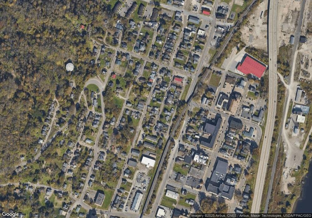
Map
Nearby Homes
- 3510 Trumbull St
- 3426 Monroe St
- 3318 Washington St
- 958 Central Ave
- 3252 Monroe St
- 357B Rosser Ave
- 445 Main St
- 516 Main St
- 437 Mcmechen St
- 65141 Three Hills Dr
- 65078 Indian Run Rd
- 316 Dorer Ave
- 0 Hilltop Ave
- 1010 & 1012 Marshall Ave
- 339 W 22nd St
- 137 Roosevelt Ave
- 0 W 23rd St
- 1406 High St
- 16 Roosevelt Ave
- 1200 Marshall St
- 3645 Harrison St
- 3650 Monroe St
- 3671 Harrison St
- 6331 Monroe St
- 3625 Harrison St
- 3615 Monroe St
- 3607 Harrison St
- 3665 Monroe St
- 3640 Harrison St
- 3605 Harrison St
- 3654 Harrison St
- 3675 Monroe St
- 3672 Harrison St
- 3662 Harrison St
- 3620 Harrison St
- 3692 Monroe St
- 3625 Monroe St
- 3625 Monroe St
- 3605 Monroe St
- 3676 Harrison St
Your Personal Tour Guide
Ask me questions while you tour the home.