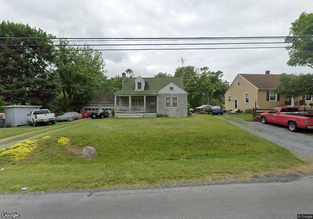
367 Bryarly Rd Winchester, VA 22603
Estimated Value: $272,000 - $293,000
2
Beds
1
Bath
1,273
Sq Ft
$221/Sq Ft
Est. Value
About This Home
This home is located at 367 Bryarly Rd, Winchester, VA 22603 and is currently estimated at $280,749, approximately $220 per square foot. 367 Bryarly Rd is a home located in Frederick County with nearby schools including Apple Pie Ridge Elementary School, Frederick County Middle School, and James Wood High School.
Ownership History
Date
Name
Owned For
Owner Type
Purchase Details
Closed on
Oct 6, 2010
Sold by
Fannie Mae
Bought by
Anderson Lynn P
Current Estimated Value
Home Financials for this Owner
Home Financials are based on the most recent Mortgage that was taken out on this home.
Original Mortgage
$111,893
Outstanding Balance
$73,913
Interest Rate
4.37%
Mortgage Type
FHA
Estimated Equity
$206,836
Purchase Details
Closed on
Jul 19, 2010
Sold by
Pro Foreclosure Corp
Bought by
Federal National Mortgage Association
Create a Home Valuation Report for This Property
The Home Valuation Report is an in-depth analysis detailing your home's value as well as a comparison with similar homes in the area
Home Values in the Area
Average Home Value in this Area
Purchase History
We collect this data history from publicly available records. To have your information removed, we recommend requesting removal directly through your county’s website.
| Date | Buyer | Sale Price | Title Company |
|---|---|---|---|
| Anderson Lynn P | $113,400 | -- | |
| Federal National Mortgage Association | $173,714 | -- |
Source: Public Records
Mortgage History
We collect this data history from publicly available records. To have your information removed, we recommend requesting removal directly through your county’s website.
| Date | Status | Borrower | Loan Amount |
|---|---|---|---|
| Open | Anderson Lynn P | $111,893 |
Source: Public Records
Tax History
| Year | Tax Paid | Tax Assessment Tax Assessment Total Assessment is a certain percentage of the fair market value that is determined by local assessors to be the total taxable value of land and additions on the property. | Land | Improvement |
|---|---|---|---|---|
| 2025 | $1,053 | $219,336 | $93,000 | $126,336 |
| 2024 | $416 | $163,200 | $69,500 | $93,700 |
| 2023 | $832 | $163,200 | $69,500 | $93,700 |
| 2022 | $865 | $141,800 | $63,500 | $78,300 |
| 2021 | $865 | $141,800 | $63,500 | $78,300 |
| 2020 | $830 | $136,000 | $63,500 | $72,500 |
| 2019 | $830 | $136,000 | $63,500 | $72,500 |
| 2018 | $747 | $122,500 | $63,500 | $59,000 |
| 2017 | $735 | $122,500 | $63,500 | $59,000 |
| 2016 | $653 | $108,900 | $51,000 | $57,900 |
| 2015 | $610 | $108,900 | $51,000 | $57,900 |
| 2014 | $330 | $105,600 | $51,000 | $54,600 |
Source: Public Records
Map
Nearby Homes
- 139 Bryarly Rd
- TBD Golds Hill Rd
- Lot 4 - Honeycrisp
- 0 N Frederick Pike Unit VAWI2007698
- 0 N Frederick Pike Unit LotWP001
- 1667 N Frederick Pike
- 456 Marple Rd
- 428 Apple Pie Ridge Rd
- 128 Babbs Run Ln
- 126 Marple Rd
- 111 Ridge Ct
- 274 Woodside Ln
- 150 Cedar Grove Rd
- 163 Margaret Ln
- LOT 27A - Handley Dr
- LOT 1 - Handley Dr
- 110 Rugby Place
- 115 Hickory Ln
- 104 Zinnia Ln
- 1033 Sunnyside Dr
Your Personal Tour Guide
Ask me questions while you tour the home.