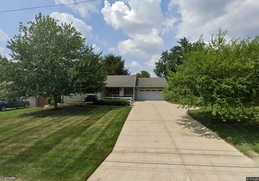
3678 Poole Rd Cincinnati, OH 45251
Northgate NeighborhoodEstimated Value: $226,000 - $301,000
3
Beds
2
Baths
1,076
Sq Ft
$240/Sq Ft
Est. Value
About This Home
This home is located at 3678 Poole Rd, Cincinnati, OH 45251 and is currently estimated at $257,759, approximately $239 per square foot. 3678 Poole Rd is a home located in Hamilton County with nearby schools including Colerain Elementary School, Colerain Middle School, and Colerain High School.
Ownership History
Date
Name
Owned For
Owner Type
Purchase Details
Closed on
Oct 30, 2000
Sold by
Alsleben Marianne
Bought by
Lameier Daun L
Current Estimated Value
Home Financials for this Owner
Home Financials are based on the most recent Mortgage that was taken out on this home.
Original Mortgage
$110,400
Interest Rate
7.91%
Purchase Details
Closed on
Jul 28, 1994
Sold by
Rickly Russell E and Rickly Evelyn L
Bought by
Alsleben Rudolph and Alsleben Marianne
Create a Home Valuation Report for This Property
The Home Valuation Report is an in-depth analysis detailing your home's value as well as a comparison with similar homes in the area
Home Values in the Area
Average Home Value in this Area
Purchase History
| Date | Buyer | Sale Price | Title Company |
|---|---|---|---|
| Lameier Daun L | $138,000 | -- | |
| Alsleben Rudolph | -- | -- |
Source: Public Records
Mortgage History
| Date | Status | Borrower | Loan Amount |
|---|---|---|---|
| Closed | Lameier Daun L | $110,400 |
Source: Public Records
Tax History
| Year | Tax Paid | Tax Assessment Tax Assessment Total Assessment is a certain percentage of the fair market value that is determined by local assessors to be the total taxable value of land and additions on the property. | Land | Improvement |
|---|---|---|---|---|
| 2025 | $3,740 | $64,863 | $10,441 | $54,422 |
| 2023 | $3,489 | $64,863 | $10,441 | $54,422 |
| 2022 | $3,118 | $47,265 | $10,217 | $37,048 |
| 2021 | $3,091 | $47,265 | $10,217 | $37,048 |
| 2020 | $3,124 | $47,265 | $10,217 | $37,048 |
| 2019 | $2,837 | $40,054 | $8,659 | $31,395 |
| 2018 | $2,545 | $40,054 | $8,659 | $31,395 |
| 2017 | $2,411 | $40,054 | $8,659 | $31,395 |
| 2016 | $2,917 | $47,873 | $8,708 | $39,165 |
| 2015 | $2,945 | $47,873 | $8,708 | $39,165 |
| 2014 | $2,950 | $47,873 | $8,708 | $39,165 |
| 2013 | $2,955 | $50,394 | $9,167 | $41,227 |
Source: Public Records
Map
Nearby Homes
- 9272 Erin Dr
- 3760 Brockton Dr
- 8851 Carrousel Park Cir
- 3875 Woodsong Dr
- 8747 Cheviot Rd
- 8790 Carrousel Park Cir
- 3467 Amberway Ct Unit 85
- 8877 Wuest Rd
- 3364 Amberway Ct Unit 45
- 8530 Wuest Rd
- 9503 Haddington Ct
- 9103 Zoellner Rd
- 3120 Birchway Dr
- 8442 Wuest Rd
- 9161 Trelawney Ct
- 3419 Niagara St
- 9302 Loralinda Dr
- 3364 Hidden Creek Dr
- 3225 Heritage Square Dr
- 3287 Niagara St
Your Personal Tour Guide
Ask me questions while you tour the home.