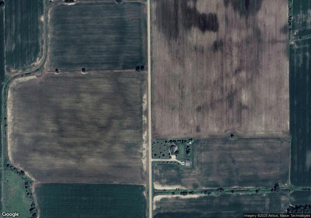
3682 N Cram Rd Owosso, MI 48867
Estimated Value: $338,000 - $551,793
Studio
--
Bath
--
Sq Ft
19.4
Acres Lot
About This Home
This home is located at 3682 N Cram Rd, Owosso, MI 48867 and is currently estimated at $437,198. 3682 N Cram Rd is a home with nearby schools including Corunna High School.
Ownership History
Date
Name
Owned For
Owner Type
Purchase Details
Closed on
Feb 7, 2025
Sold by
Bruckman Mark E and Bruckman Michele F
Bought by
Green Robert and Green Tanya
Current Estimated Value
Home Financials for this Owner
Home Financials are based on the most recent Mortgage that was taken out on this home.
Original Mortgage
$315,000
Outstanding Balance
$301,974
Interest Rate
6.91%
Mortgage Type
Balloon
Estimated Equity
$135,224
Create a Home Valuation Report for This Property
The Home Valuation Report is an in-depth analysis detailing your home's value as well as a comparison with similar homes in the area
Purchase History
We collect this data history from publicly available records. To have your information removed, we recommend requesting removal directly through your county’s website.
| Date | Buyer | Sale Price | Title Company |
|---|---|---|---|
| Green Robert | $615,000 | Ata National Title Group |
Source: Public Records
Mortgage History
We collect this data history from publicly available records. To have your information removed, we recommend requesting removal directly through your county’s website.
| Date | Status | Borrower | Loan Amount |
|---|---|---|---|
| Open | Green Robert | $315,000 |
Source: Public Records
Tax History
| Year | Tax Paid | Tax Assessment Tax Assessment Total Assessment is a certain percentage of the fair market value that is determined by local assessors to be the total taxable value of land and additions on the property. | Land | Improvement |
|---|---|---|---|---|
| 2025 | $4,339 | $217,900 | $0 | $0 |
| 2024 | $4,140 | $212,000 | $0 | $0 |
| 2023 | $1,646 | $178,300 | $0 | $0 |
| 2022 | $3,982 | $154,300 | $0 | $0 |
| 2021 | $3,781 | $145,400 | $0 | $0 |
| 2020 | $3,709 | $137,300 | $0 | $0 |
| 2019 | $3,600 | $131,300 | $0 | $0 |
| 2018 | $3,502 | $131,200 | $0 | $0 |
| 2017 | $3,345 | $127,900 | $0 | $0 |
| 2016 | -- | $127,900 | $0 | $0 |
| 2015 | -- | $123,400 | $0 | $0 |
| 2014 | $13 | $118,400 | $0 | $0 |
Source: Public Records
Map
Nearby Homes
- 2770 N Geeck Rd
- 3492 N Ridley Rd
- 1967 Copas Rd
- 1845 Fawn Cir
- 850 Middleton Rd
- 1859 Big Bear Dr
- V/L E M 21
- 3200 E M 21
- 5821 E M 21
- 2256 E Main St
- 2250 E Main St
- 155 Elizabeth Dr
- 0 N Hintz Rd
- 2445 N Hickory Rd
- V/L E Main St
- 2338 Meadowdown Dr
- 570 W Wildwood Dr
- 1161 Bluestem Ct
- 1430 Mallard Cir
- 2267 N Burning Tree Cir
- 3765 E Cronk Rd
- 3500 N Cram Rd
- 3487 N Cram Rd
- 4100 E Juddville Rd
- 4210 E Juddville Rd
- 3617 E Juddville Rd
- 4311 E Juddville Rd
- 3500 E Juddville Rd
- 3979 E Cronk Rd
- 4069 E Cronk Rd
- 4480 E Juddville Rd
- 4447 E Juddville Rd
- 4483 E Juddville Rd
- 3824 E Cronk Rd
- 3705 E Cronk Rd
- 4300 E Cronk Rd
- 4501 E Juddville Rd
- 4501 E Juddville Rd
- 3305 E Juddville Rd
- 5011 E Juddville Rd
Your Personal Tour Guide
Ask me questions while you tour the home.