Estimated Value: $94,384 - $234,000
3
Beds
2
Baths
864
Sq Ft
$187/Sq Ft
Est. Value
About This Home
This home is located at 36884 S 511 Rd, Vian, OK 74962 and is currently estimated at $161,846, approximately $187 per square foot. 36884 S 511 Rd is a home located in Cherokee County.
Ownership History
Date
Name
Owned For
Owner Type
Purchase Details
Closed on
Oct 25, 2023
Sold by
Mitchell Jeffery Curtis
Bought by
Department Of Transportation Of The State Of
Current Estimated Value
Purchase Details
Closed on
Oct 19, 2023
Sold by
Geary Jacob William and Geary Serena A
Bought by
Department Of Transportation Of The State Of
Purchase Details
Closed on
Aug 28, 2006
Sold by
Box Dennis R and Box Janis L
Bought by
Slavens Samuel G and Slavens Marilyn K
Purchase Details
Closed on
Nov 9, 1998
Sold by
Tim Lowe
Bought by
Dennis and Janis Box
Create a Home Valuation Report for This Property
The Home Valuation Report is an in-depth analysis detailing your home's value as well as a comparison with similar homes in the area
Purchase History
| Date | Buyer | Sale Price | Title Company |
|---|---|---|---|
| Department Of Transportation Of The State Of | -- | None Listed On Document | |
| Department Of Transportation Of The State Of | -- | None Listed On Document | |
| Slavens Samuel G | $99,500 | Tahlequah Abstract Closing S | |
| Dennis | $72,500 | -- |
Source: Public Records
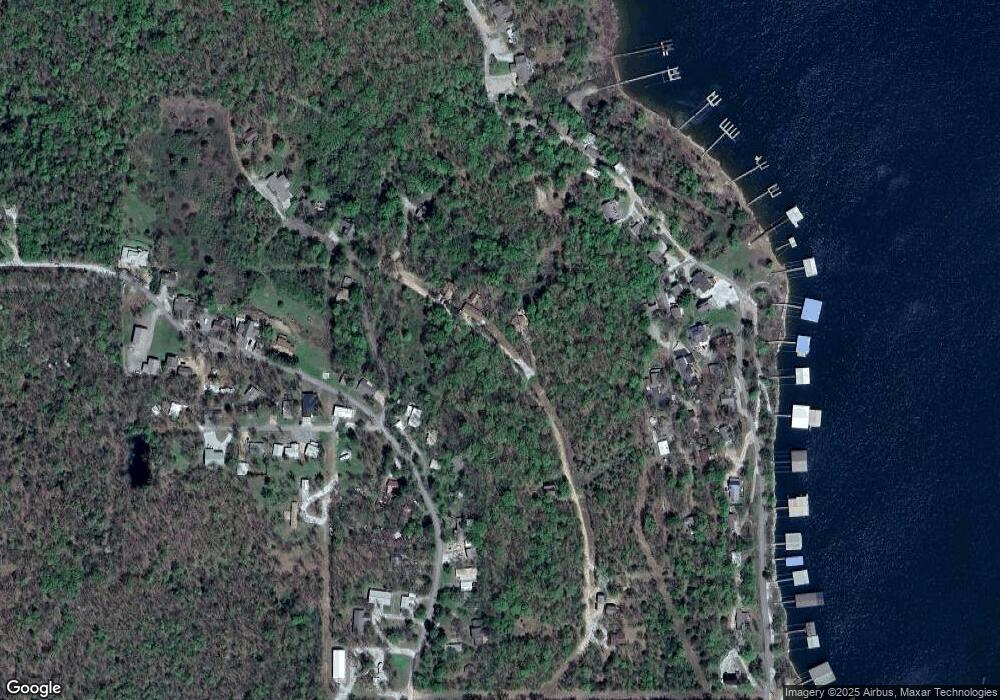
Map
Nearby Homes
- 06 S 511 Rd
- 36739 S 512 Rd
- 36682 S 511 Rd
- 449609 E 953 Rd
- 0 S 4507 Rd Unit 2548217
- 18998 W Woodhaven Dr
- 18856 W Woodhaven Dr
- 18880 W Woodhaven Dr
- 19116 W Arrow Wood Rd
- 95631 S 4522
- 451877 E 958 Rd
- 451963 E 958 Rd
- 452316 E 953 Rd
- 3 E Snake Creek Rd
- 5 E Snake Creek Rd
- 0000 Rural Route
- 21 E Timbercrest Dr
- 22 E Timbercrest Dr
- 449918 E 953 Rd
- 19465 E Maple Ln
- 36774 S 511 Rd
- 36760 S 511 Rd
- 0 S 511 Rd
- TBD S 511 Rd
- 36732 S 511 Rd
- 18072 W 947 Rd
- 36825 S 510 Rd
- 18074 W 947 Rd
- 18076 W 947 Rd
- 510 S Rd Rd
- 36709 S 512
- 36729 S 512 Rd
- 36841 S Peaceful View Dr
- 36719 S 512 Rd
- 36704 S 511 Rd
- 36784 S Peaceful View Dr
- 36784 Peaceful View Dr
- 18080 W 948 Rd
- 18065 W 947 Rd
Your Personal Tour Guide
Ask me questions while you tour the home.