369 Wooten Rd Cuthbert, GA 39840
Estimated Value: $102,000 - $739,000
2
Beds
1
Bath
1,253
Sq Ft
$322/Sq Ft
Est. Value
About This Home
This home is located at 369 Wooten Rd, Cuthbert, GA 39840 and is currently estimated at $403,359, approximately $321 per square foot. 369 Wooten Rd is a home with nearby schools including Randolph County Elementary School, Randolph Clay Middle School, and Randolph Clay High School.
Ownership History
Date
Name
Owned For
Owner Type
Purchase Details
Closed on
Apr 23, 2001
Sold by
Wooten Nancy Lynn
Bought by
Sharon & Nancy Inc
Current Estimated Value
Purchase Details
Closed on
Jan 31, 2001
Sold by
Wooten Michael John
Bought by
Wooten Nancy Lynn
Purchase Details
Closed on
Nov 7, 2000
Sold by
Wooten Michael John
Bought by
Wooten Michael John
Purchase Details
Closed on
Aug 4, 2000
Sold by
Wooten Michael John
Bought by
Wooten Michael John
Purchase Details
Closed on
Apr 11, 1997
Sold by
Wooten Mary Ann
Bought by
Wooten Michael John
Create a Home Valuation Report for This Property
The Home Valuation Report is an in-depth analysis detailing your home's value as well as a comparison with similar homes in the area
Home Values in the Area
Average Home Value in this Area
Purchase History
| Date | Buyer | Sale Price | Title Company |
|---|---|---|---|
| Sharon & Nancy Inc | -- | -- | |
| Sharon & Nancy Inc | -- | -- | |
| Wooten Nancy Lynn | -- | -- | |
| Wooten Nancy Lynn | -- | -- | |
| Wooten Michael John | $4,800 | -- | |
| Wooten Michael John | $4,800 | -- | |
| Wooten Michael John | -- | -- | |
| Wooten Michael John | -- | -- | |
| Wooten Michael John | -- | -- |
Source: Public Records
Tax History
| Year | Tax Paid | Tax Assessment Tax Assessment Total Assessment is a certain percentage of the fair market value that is determined by local assessors to be the total taxable value of land and additions on the property. | Land | Improvement |
|---|---|---|---|---|
| 2025 | $3,573 | $166,920 | $136,600 | $30,320 |
| 2024 | $2,986 | $150,120 | $128,880 | $21,240 |
| 2023 | $2,774 | $136,040 | $114,800 | $21,240 |
| 2022 | $2,553 | $129,600 | $108,360 | $21,240 |
| 2021 | $1,948 | $114,741 | $103,227 | $11,514 |
| 2020 | $1,960 | $114,741 | $103,227 | $11,514 |
| 2019 | $1,910 | $114,741 | $103,227 | $11,514 |
| 2018 | $4,050 | $114,741 | $103,227 | $11,514 |
| 2017 | $1,758 | $114,741 | $103,227 | $11,514 |
| 2016 | $1,727 | $89,735 | $78,221 | $11,514 |
| 2015 | -- | $88,698 | $78,221 | $10,477 |
| 2014 | -- | $88,173 | $78,221 | $9,952 |
| 2013 | -- | $88,173 | $78,221 | $9,952 |
Source: Public Records
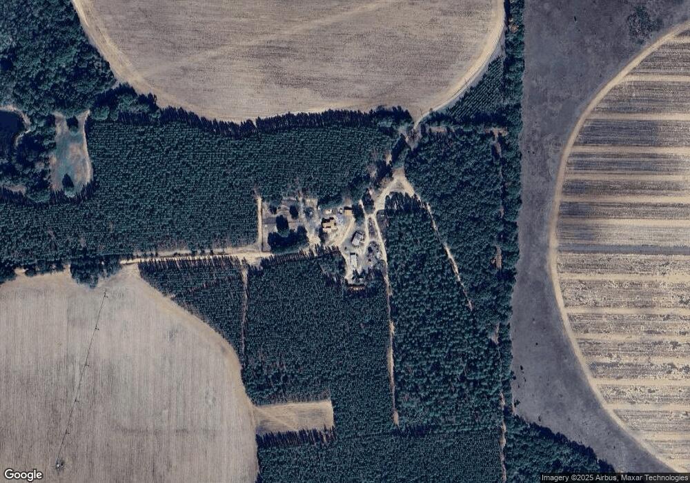
Map
Nearby Homes
- Pierce Rd
- Sam Bentley Rd
- 3845 Pearl St
- 48 Cheney St
- 0 Carver St
- 3109 Calhoun St
- 8369 Graves Hwy
- 0 District Line Rd Unit 10518137
- 0 Benevolence Hwy Unit 26314983
- County Road 186
- 42 W Harris St
- 298 Nelson Coffin Dr
- 365 Highland Ave
- 396 Hood St
- 77 Oak Grove Rd
- 140 College St
- Old Spring Rd
- 109 Cattle Gap Rd
- Mattox Rd
- 0 Bird Song Rd
Your Personal Tour Guide
Ask me questions while you tour the home.