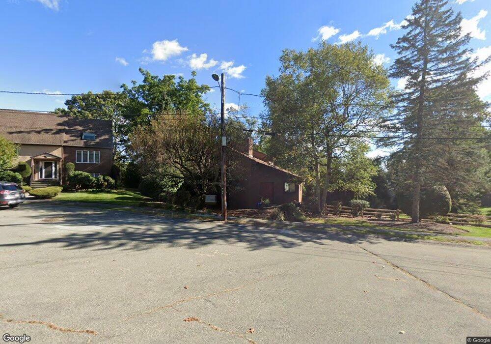
37 Anthony Ln Dedham, MA 02026
Dedham Village NeighborhoodEstimated Value: $967,000 - $1,315,000
3
Beds
3
Baths
2,028
Sq Ft
$531/Sq Ft
Est. Value
About This Home
This home is located at 37 Anthony Ln, Dedham, MA 02026 and is currently estimated at $1,077,495, approximately $531 per square foot. 37 Anthony Ln is a home located in Norfolk County with nearby schools including Riverdale Elementary School, Dedham Middle School, and Dedham High School.
Ownership History
Date
Name
Owned For
Owner Type
Purchase Details
Closed on
Jun 12, 1992
Sold by
Bene Barbara A and Bene Herbert M
Bought by
Moriarty Elaine M and Moriarty James
Current Estimated Value
Home Financials for this Owner
Home Financials are based on the most recent Mortgage that was taken out on this home.
Original Mortgage
$150,000
Interest Rate
8.79%
Mortgage Type
Purchase Money Mortgage
Purchase Details
Closed on
Nov 19, 1987
Sold by
Gale Frederick M
Bought by
Bene Herbert M
Create a Home Valuation Report for This Property
The Home Valuation Report is an in-depth analysis detailing your home's value as well as a comparison with similar homes in the area
Home Values in the Area
Average Home Value in this Area
Purchase History
| Date | Buyer | Sale Price | Title Company |
|---|---|---|---|
| Moriarty Elaine M | $277,500 | -- | |
| Bene Herbert M | $312,500 | -- |
Source: Public Records
Mortgage History
| Date | Status | Borrower | Loan Amount |
|---|---|---|---|
| Closed | Bene Herbert M | $95,000 | |
| Closed | Bene Herbert M | $117,600 | |
| Closed | Bene Herbert M | $148,500 | |
| Closed | Bene Herbert M | $150,000 |
Source: Public Records
Tax History
| Year | Tax Paid | Tax Assessment Tax Assessment Total Assessment is a certain percentage of the fair market value that is determined by local assessors to be the total taxable value of land and additions on the property. | Land | Improvement |
|---|---|---|---|---|
| 2025 | $12,450 | $986,500 | $381,900 | $604,600 |
| 2024 | $12,364 | $989,100 | $367,000 | $622,100 |
| 2023 | $10,481 | $816,300 | $322,000 | $494,300 |
| 2022 | $9,685 | $725,500 | $294,500 | $431,000 |
| 2021 | $9,626 | $704,200 | $299,500 | $404,700 |
| 2020 | $9,625 | $701,500 | $286,500 | $415,000 |
| 2019 | $9,117 | $644,300 | $277,800 | $366,500 |
| 2018 | $8,972 | $616,600 | $250,100 | $366,500 |
| 2017 | $8,119 | $550,100 | $221,800 | $328,300 |
| 2016 | $8,190 | $528,700 | $200,400 | $328,300 |
| 2015 | $8,195 | $516,400 | $230,100 | $286,300 |
| 2014 | $8,169 | $508,000 | $230,100 | $277,900 |
Source: Public Records
Map
Nearby Homes
- 1000 Washington St Unit 205
- 213 Sandy Valley Rd
- 829 Gay St
- 14 Eldridge Place
- 165 Highland St Unit 165
- 223 Robert Rd
- 59 Grafton Ave
- 86 Horrigan Dr Unit 23
- 87 Horrigan Dr Unit 8
- 80 Horrigan Dr Unit 24
- 66 Horrigan Dr Unit 25
- 53 Dean St
- 26 Cherry St
- 57 Horrigan Dr Unit 3
- 37 Horrigan Dr Unit 1
- 46 Birch St
- 290 East St
- 441 Washington St Unit 301
- 441 Washington St Unit 302
- 44 Court St
- 45 Anthony Ln
- 19 Fay Rd
- 29 Anthony Ln
- 29 Anthony Ln
- 29 Anthony Ln Unit a
- 29 Anthony Ln Unit 29
- 853 Washington St
- 1 Fay Rd
- 25 Fay Rd
- 52 Anthony Ln
- 30 Anthony Ln
- 30 Anthony Ln Unit 1
- 30 Anthony Ln Unit 30
- 849 Washington St
- 42 Anthony Ln
- 843 Washington St
- 19 Anthony Ln
- 33 Fay Rd
- 26 Harmony Hill
- 36 Harmony Hill
Your Personal Tour Guide
Ask me questions while you tour the home.