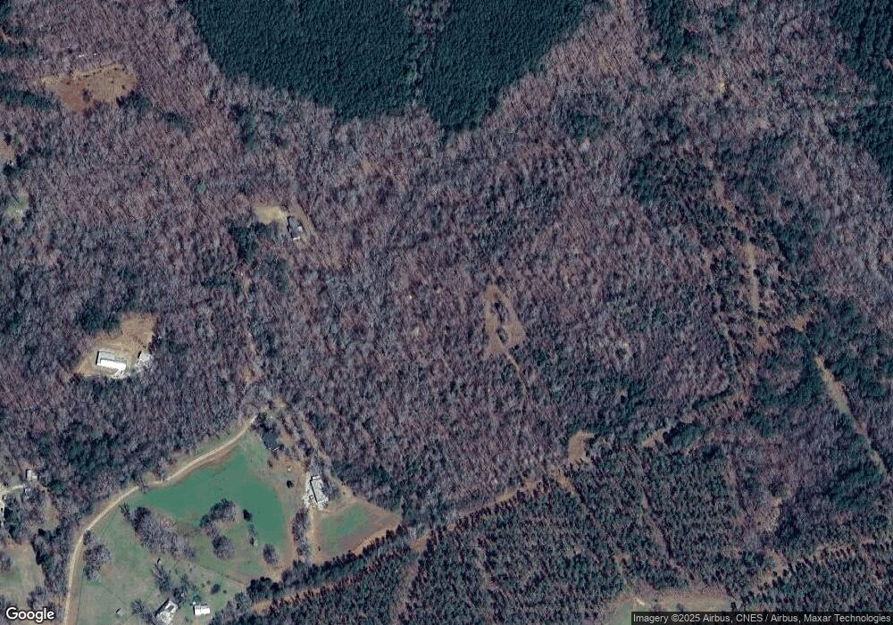
37 Bunk Howard Rd Stephens, GA 30667
Estimated Value: $297,000 - $500,000
4
Beds
2
Baths
2,428
Sq Ft
$149/Sq Ft
Est. Value
About This Home
This home is located at 37 Bunk Howard Rd, Stephens, GA 30667 and is currently estimated at $362,222, approximately $149 per square foot. 37 Bunk Howard Rd is a home located in Oglethorpe County with nearby schools including Oglethorpe County Primary School, Oglethorpe County Elementary School, and Oglethorpe County Middle School.
Ownership History
Date
Name
Owned For
Owner Type
Purchase Details
Closed on
Sep 16, 2022
Sold by
Baldwin Keith
Bought by
Chapman William Wesley and Chapman Antonia
Current Estimated Value
Home Financials for this Owner
Home Financials are based on the most recent Mortgage that was taken out on this home.
Original Mortgage
$228,000
Interest Rate
5.13%
Mortgage Type
New Conventional
Purchase Details
Closed on
May 31, 2016
Sold by
Winfrey V Selma
Bought by
Baldwin Keith and Baldwin Lee Cheryle
Purchase Details
Closed on
Jan 8, 1998
Sold by
Winfrey James Thomas
Bought by
Winfrey Selma V
Create a Home Valuation Report for This Property
The Home Valuation Report is an in-depth analysis detailing your home's value as well as a comparison with similar homes in the area
Purchase History
| Date | Buyer | Sale Price | Title Company |
|---|---|---|---|
| Chapman William Wesley | $285,000 | -- | |
| Chapman William Wesley | $285,000 | -- | |
| Baldwin Keith | $140,000 | -- | |
| Baldwin Keith | $140,000 | -- | |
| Winfrey Selma V | -- | -- | |
| Winfrey Selma V | -- | -- |
Source: Public Records
Mortgage History
| Date | Status | Borrower | Loan Amount |
|---|---|---|---|
| Closed | Chapman William Wesley | $228,000 |
Source: Public Records
Tax History
| Year | Tax Paid | Tax Assessment Tax Assessment Total Assessment is a certain percentage of the fair market value that is determined by local assessors to be the total taxable value of land and additions on the property. | Land | Improvement |
|---|---|---|---|---|
| 2025 | $2,931 | $122,296 | $17,800 | $104,496 |
| 2024 | $2,703 | $113,416 | $8,400 | $105,016 |
| 2023 | $2,906 | $113,416 | $8,400 | $105,016 |
| 2022 | $1,739 | $89,856 | $8,400 | $81,456 |
| 2021 | $1,554 | $62,856 | $7,640 | $55,216 |
| 2020 | $1,153 | $62,856 | $7,640 | $55,216 |
| 2019 | $1,485 | $70,656 | $7,640 | $63,016 |
| 2018 | $1,573 | $52,097 | $4,721 | $47,376 |
| 2017 | $1,321 | $52,097 | $4,721 | $47,376 |
| 2015 | -- | $82,627 | $28,860 | $53,767 |
| 2014 | -- | $82,627 | $28,860 | $53,767 |
Source: Public Records
Map
Nearby Homes
- 0 Bull Bray Rd
- 0 Lower Wirebridge Rd
- 181 Lower Wirebridge Rd
- 290 Poplar Creek Rd
- 201 N Main St
- 336 Oconee Forest Rd
- 0 Georgia 22
- 204 Maple St
- 60 Stephens Rd
- 0 Crawfordville Rd Unit 10674081
- 0 Crawfordville Rd Unit CL346865
- 00 Faust Farm Rd
- 30 Soggy Bottom Rd
- 0 Washington Rd Unit 25842985
- 747 Washington Rd
- 400 Salem Church Rd
- 0 Georgia 77
- 0 Georgia 77 Unit CL339774
- 222 W Church St
- 91 Railroad Rd
- 35 Bunk Howard Rd
- 32 Bunk Howard Rd
- 103 Railroad Rd
- 30 Bunk Howard Rd
- 24 Bunk Howard Rd
- 0 Railroad St
- 1660 Union Point Rd
- 157 Railroad Rd
- 1654 Union Point Rd
- 35 Stephens Salem Rd
- 39 Stephens Salem Rd
- 59 Stephens Salem Rd
- 173 Railroad Rd
- 0 Railroad Rd
- 100* Railroad Rd
- 38 Stephens Salem Rd
- 67 Stephens Salem Rd
- 48 Stephens Salem Rd
- 1602 Union Point Rd
