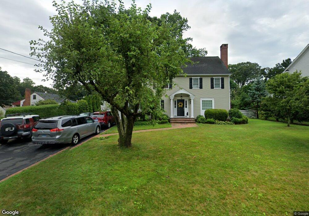
37 Dill Rd Fairfield, CT 06824
University NeighborhoodEstimated Value: $1,034,000 - $1,382,000
About This Home
This home is located at 37 Dill Rd, Fairfield, CT 06824 and is currently estimated at $1,200,984, approximately $462 per square foot. 37 Dill Rd is a home located in Fairfield County with nearby schools including Osborn Hill Elementary School, Fairfield Woods Middle School, and Fairfield Ludlowe High School.
Ownership History
We collect this data history from publicly available records. To have your information removed, we recommend requesting removal directly through your county’s website.
Purchase Details
Purchase Details
Purchase Details
Home Values in the Area
Average Home Value in this Area
Purchase History
We collect this data history from publicly available records. To have your information removed, we recommend requesting removal directly through your county’s website.
| Date | Buyer | Sale Price | Title Company |
|---|---|---|---|
| $670,000 | -- | ||
| $670,000 | -- | ||
| $522,500 | -- | ||
| $522,500 | -- | ||
| $228,000 | -- | ||
| $228,000 | -- |
Mortgage History
We collect this data history from publicly available records. To have your information removed, we recommend requesting removal directly through your county’s website.
| Date | Status | Borrower | Loan Amount |
|---|---|---|---|
| Open | $370,000 | ||
| Closed | $392,058 |
Tax History
We collect this data history from publicly available records. To have your information removed, we recommend requesting removal directly through your county’s website.
| Year | Tax Paid | Tax Assessment Tax Assessment Total Assessment is a certain percentage of the fair market value that is determined by local assessors to be the total taxable value of land and additions on the property. | Land | Improvement |
|---|---|---|---|---|
| 2025 | $12,854 | $452,760 | $245,980 | $206,780 |
| 2024 | $12,632 | $452,760 | $245,980 | $206,780 |
| 2023 | $12,455 | $452,760 | $245,980 | $206,780 |
| 2022 | $12,333 | $452,760 | $245,980 | $206,780 |
| 2021 | $12,215 | $452,760 | $245,980 | $206,780 |
| 2020 | $11,906 | $444,430 | $202,020 | $242,410 |
| 2019 | $11,906 | $444,430 | $202,020 | $242,410 |
| 2018 | $11,715 | $444,430 | $202,020 | $242,410 |
| 2017 | $11,475 | $444,430 | $202,020 | $242,410 |
| 2016 | $11,311 | $444,430 | $202,020 | $242,410 |
| 2015 | $11,246 | $453,670 | $212,660 | $241,010 |
| 2014 | $11,070 | $453,670 | $212,660 | $241,010 |
Map
- 1646 Jennings Rd
- 1747 Jennings Rd
- 533 N Benson Rd
- 67 Sigwin Dr
- 21 Ardmore St
- 276 Pemburn Dr
- 54 Elm St
- 28 Raymonds Dr
- 464 Round Hill Rd
- 27 Brookdale Rd
- 84 University Dr
- 54 Timothy St
- 12 Sconset Dr
- 50 Stone Ridge Way Unit 2A
- 46 Reynolds Dr
- 52 Robin Ln
- 245 Sunnyridge Ave Unit 15
- 631 Reid St
- 694 Jennings Rd
- 179 Lawrence Rd
Ask me questions while you tour the home.