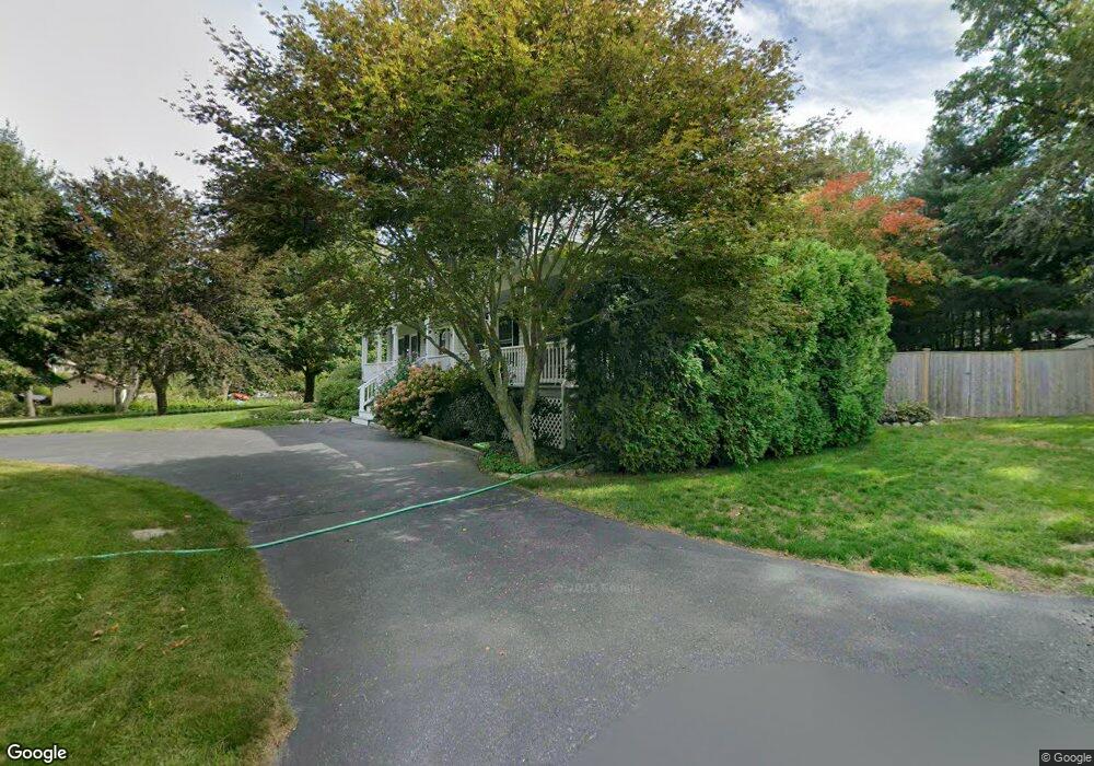
37 Gee Ave Gloucester, MA 01930
Estimated Value: $841,289 - $969,000
3
Beds
2
Baths
2,632
Sq Ft
$342/Sq Ft
Est. Value
About This Home
This home is located at 37 Gee Ave, Gloucester, MA 01930 and is currently estimated at $899,572, approximately $341 per square foot. 37 Gee Ave is a home located in Essex County with nearby schools including Beeman Memorial, Ralph B O'maley Middle School, and Gloucester High School.
Ownership History
Date
Name
Owned For
Owner Type
Purchase Details
Closed on
Nov 19, 2013
Sold by
Amero Bernard M and Amero Lucille M
Bought by
Amero Lucille M
Current Estimated Value
Purchase Details
Closed on
Sep 15, 1978
Bought by
Amero Lucille M
Create a Home Valuation Report for This Property
The Home Valuation Report is an in-depth analysis detailing your home's value as well as a comparison with similar homes in the area
Purchase History
| Date | Buyer | Sale Price | Title Company |
|---|---|---|---|
| Amero Lucille M | -- | -- | |
| Amero Lucille M | -- | -- |
Source: Public Records
Mortgage History
| Date | Status | Borrower | Loan Amount |
|---|---|---|---|
| Previous Owner | Amero Lucille M | $110,000 |
Source: Public Records
Tax History
| Year | Tax Paid | Tax Assessment Tax Assessment Total Assessment is a certain percentage of the fair market value that is determined by local assessors to be the total taxable value of land and additions on the property. | Land | Improvement |
|---|---|---|---|---|
| 2025 | $7,656 | $787,700 | $203,300 | $584,400 |
| 2024 | $7,570 | $778,000 | $193,600 | $584,400 |
| 2023 | $7,288 | $688,200 | $172,900 | $515,300 |
| 2022 | $7,045 | $600,600 | $150,300 | $450,300 |
| 2021 | $6,790 | $545,800 | $136,700 | $409,100 |
| 2020 | $6,811 | $552,400 | $136,700 | $415,700 |
| 2019 | $6,528 | $514,400 | $136,700 | $377,700 |
| 2018 | $6,421 | $496,600 | $136,700 | $359,900 |
| 2017 | $6,210 | $470,800 | $130,100 | $340,700 |
| 2016 | $6,063 | $445,500 | $135,700 | $309,800 |
| 2015 | $5,747 | $421,000 | $135,700 | $285,300 |
Source: Public Records
Map
Nearby Homes
- 31 Echo Ave
- 2 Breezy Point Rd
- 672 Washington St
- 13 Honeysuckle Rd
- 8 Mystic Ave
- 3 Rockland St
- 98 Maplewood Ave
- 6 Monroe Ct
- 12 Arthur St
- 40 Sargent St
- 9 Cleveland Place
- 167 Atlantic St
- 226 Atlantic St
- 178 Atlantic St
- 136 Leonard St
- 50 Warner St
- 113 Pleasant St
- 33 Maplewood Ave Unit 310
- 120 Washington St
- 36 Eastern Ave
Your Personal Tour Guide
Ask me questions while you tour the home.