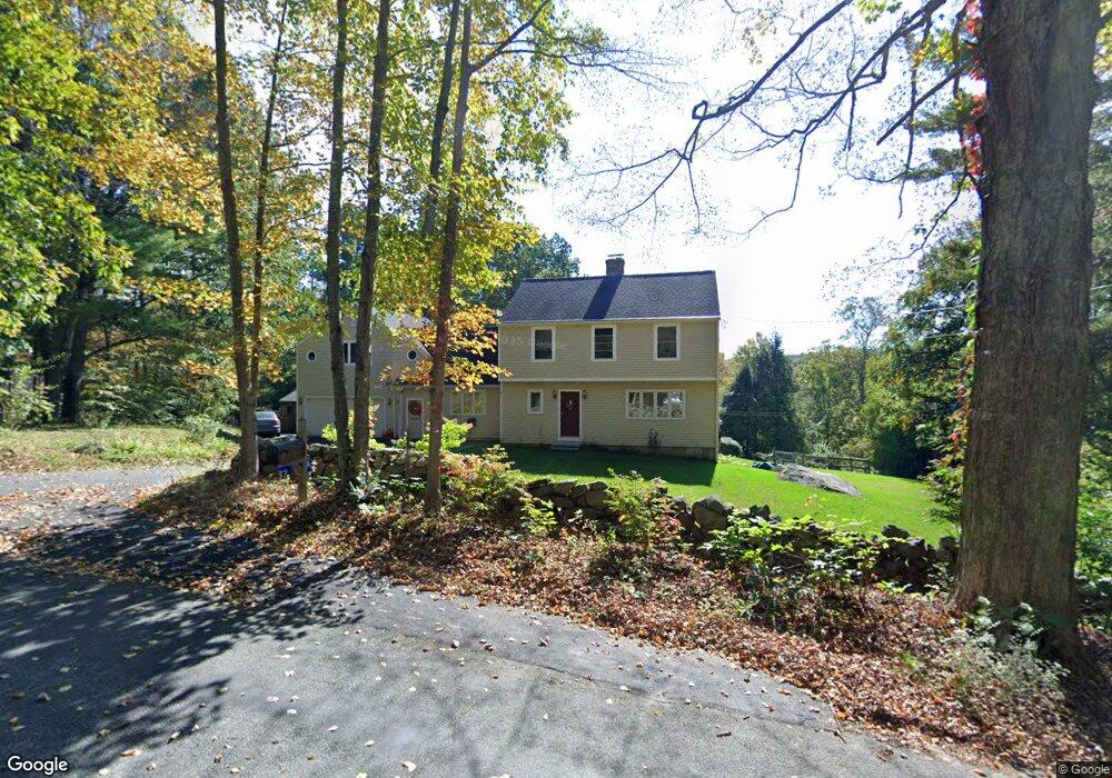
37 Howey Rd Ashford, CT 06278
Estimated Value: $496,000 - $568,000
3
Beds
3
Baths
2,744
Sq Ft
$190/Sq Ft
Est. Value
About This Home
This home is located at 37 Howey Rd, Ashford, CT 06278 and is currently estimated at $521,847, approximately $190 per square foot. 37 Howey Rd is a home located in Windham County with nearby schools including Ashford School and E.O. Smith High School.
Ownership History
Date
Name
Owned For
Owner Type
Purchase Details
Closed on
Mar 19, 2007
Sold by
Herman Daniel L and Herman Anja Barbara
Bought by
Callery Thomas J and Callery Jane
Current Estimated Value
Purchase Details
Closed on
Jun 26, 2002
Sold by
Waller George A
Bought by
Herman Anja Barbare and Herman Daniel L
Purchase Details
Closed on
Mar 1, 1999
Sold by
Wilburn Richard A
Bought by
Waller George A and Waller Darlene H
Create a Home Valuation Report for This Property
The Home Valuation Report is an in-depth analysis detailing your home's value as well as a comparison with similar homes in the area
Home Values in the Area
Average Home Value in this Area
Purchase History
| Date | Buyer | Sale Price | Title Company |
|---|---|---|---|
| Callery Thomas J | $320,000 | -- | |
| Callery Thomas J | $320,000 | -- | |
| Herman Anja Barbare | $260,000 | -- | |
| Herman Anja Barbare | $260,000 | -- | |
| Waller George A | $215,000 | -- | |
| Waller George A | $215,000 | -- |
Source: Public Records
Mortgage History
| Date | Status | Borrower | Loan Amount |
|---|---|---|---|
| Open | Waller George A | $190,000 |
Source: Public Records
Tax History
| Year | Tax Paid | Tax Assessment Tax Assessment Total Assessment is a certain percentage of the fair market value that is determined by local assessors to be the total taxable value of land and additions on the property. | Land | Improvement |
|---|---|---|---|---|
| 2025 | $8,987 | $247,030 | $52,850 | $194,180 |
| 2024 | $8,488 | $247,030 | $52,850 | $194,180 |
| 2023 | $8,174 | $247,030 | $52,850 | $194,180 |
| 2022 | $3,562 | $110,390 | $52,850 | $57,540 |
| 2021 | $4,204 | $115,600 | $50,300 | $65,300 |
| 2020 | $4,259 | $115,600 | $50,300 | $65,300 |
| 2019 | $8,177 | $230,600 | $50,300 | $180,300 |
| 2018 | $2,967 | $230,600 | $50,300 | $180,300 |
| 2017 | $7,926 | $230,600 | $50,300 | $180,300 |
| 2016 | $7,044 | $217,600 | $61,500 | $156,100 |
| 2015 | $7,172 | $217,600 | $61,500 | $156,100 |
| 2014 | $6,998 | $217,600 | $61,500 | $156,100 |
Source: Public Records
Map
Nearby Homes
- 173 Westford Hill Rd
- 102 Krapf Rd
- 0 Jared Sparks Rd
- 167 Armitage Rd
- 159 Nott Hwy
- 144 Hnath Rd
- 214 James Rd
- 292 Tolland Turnpike
- 228 Ruby Rd
- 49 Lake View Dr
- 0 Lohse Rd Unit map 42 block 21
- 153 Mansfield Rd
- 21 Westview Dr
- 44 Michalec Rd
- 21 Ashley Ln
- 133 Fitts Rd
- 0 River Rd Unit 24120753
- 0 Bebbington Rd
- 38 Schofield Rd
- 224 Westford Rd Unit 224
- 31 Howey Rd
- 0 Seckar Rd Unit G648030
- 0 Seckar Rd Unit G662667
- 0 Seckar Rd Unit G671347
- 0 Seckar Rd Unit 170334828
- 399 Zaicek Rd
- 53 Seckar Rd
- 18 Howey Rd
- 411 Zaicek Rd
- 3 Howey Rd
- 43 Seckar Rd
- 68 Howey Rd
- 48 Howey Rd
- 445 Zaicek Rd
- 5 E Howey Rd
- 419 Zaicek Rd
- 406 Zaicek Rd
- 426 Zaicek Rd
- 414 Zaicek Rd
- 61 Seckar Rd
Your Personal Tour Guide
Ask me questions while you tour the home.