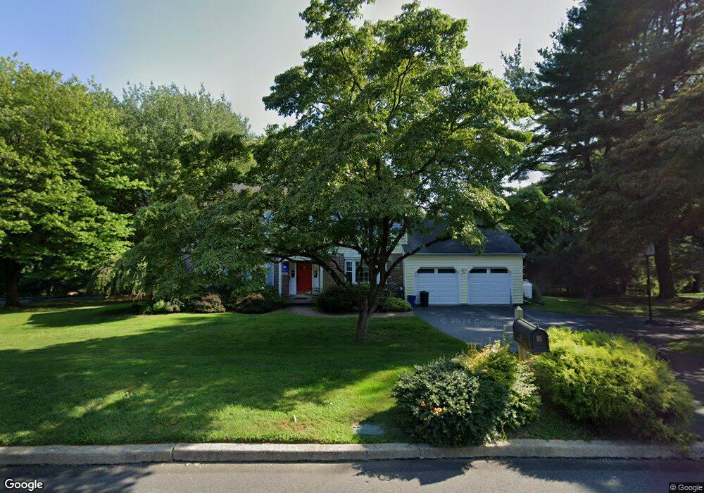
37 Langstoon Ln Media, PA 19063
Marple NeighborhoodEstimated Value: $681,000 - $916,000
About This Home
This home is located at 37 Langstoon Ln, Media, PA 19063 and is currently estimated at $770,638, approximately $319 per square foot. 37 Langstoon Ln is a home located in Delaware County with nearby schools including Loomis Elementary School, Paxon Hollow Middle School, and Marple Newtown Senior High School.
Ownership History
We collect this data history from publicly available records. To have your information removed, we recommend requesting removal directly through your county’s website.
Purchase Details
Home Financials for this Owner
Home Financials are based on the most recent Mortgage that was taken out on this home.Purchase Details
Home Financials for this Owner
Home Financials are based on the most recent Mortgage that was taken out on this home.Purchase Details
Home Values in the Area
Average Home Value in this Area
Purchase History
We collect this data history from publicly available records. To have your information removed, we recommend requesting removal directly through your county’s website.
| Date | Buyer | Sale Price | Title Company |
|---|---|---|---|
| $500,000 | None Available | ||
| $507,500 | None Available | ||
| $81,000 | -- |
Mortgage History
We collect this data history from publicly available records. To have your information removed, we recommend requesting removal directly through your county’s website.
| Date | Status | Borrower | Loan Amount |
|---|---|---|---|
| Open | $243,000 | ||
| Previous Owner | $300,000 | ||
| Previous Owner | $270,196 | ||
| Previous Owner | $88,561 |
Tax History
We collect this data history from publicly available records. To have your information removed, we recommend requesting removal directly through your county’s website.
| Year | Tax Paid | Tax Assessment Tax Assessment Total Assessment is a certain percentage of the fair market value that is determined by local assessors to be the total taxable value of land and additions on the property. | Land | Improvement |
|---|---|---|---|---|
| 2026 | $9,539 | $502,430 | $182,680 | $319,750 |
| 2025 | $8,682 | $502,430 | $182,680 | $319,750 |
| 2024 | $8,682 | $502,430 | $182,680 | $319,750 |
| 2023 | $8,407 | $502,430 | $182,680 | $319,750 |
| 2022 | $8,248 | $502,430 | $182,680 | $319,750 |
| 2021 | $12,447 | $502,430 | $182,680 | $319,750 |
| 2020 | $8,050 | $279,730 | $104,230 | $175,500 |
| 2019 | $7,953 | $279,730 | $104,230 | $175,500 |
| 2018 | $7,870 | $279,730 | $0 | $0 |
| 2017 | $7,874 | $279,730 | $0 | $0 |
| 2016 | $1,566 | $279,730 | $0 | $0 |
| 2015 | $1,566 | $279,730 | $0 | $0 |
| 2014 | $1,566 | $279,730 | $0 | $0 |
Map
- 12 Kincaid Ct
- 890 Paxon Hollow Rd
- 901 Crum Creek Rd
- 983 Palmers Mill Rd
- 1008 Richmond Rd
- 109 Eastwing Aly
- 113 Avian Aly
- 208 Jackdaw Aly
- 103 Murray Ln
- 115 Jackdaw Aly
- 103B Jay Aly
- 2015 Kerwood Dr
- 424 Ravenscliff Dr
- 0 Cedar Grove Rd Unit PADE2105298
- 0 CED Cedar Grove Rd
- 160 Paxon Hollow Rd
- 2509 Highland Ave
- 2515 Parke Ln
- 125 Springton Mews Cir
- 119 Mansion Dr
Ask me questions while you tour the home.