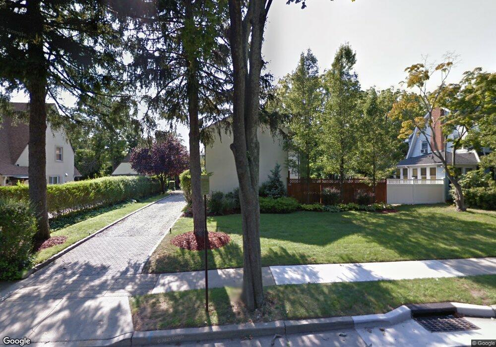
37 Long Dr Hempstead, NY 11550
Estimated Value: $676,000 - $788,297
Studio
3
Baths
1,856
Sq Ft
$394/Sq Ft
Est. Value
About This Home
This home is located at 37 Long Dr, Hempstead, NY 11550 and is currently estimated at $732,149, approximately $394 per square foot. 37 Long Dr is a home located in Nassau County with nearby schools including The Academy Charter School, Crescent School, and Sacred Heart Academy.
Ownership History
Date
Name
Owned For
Owner Type
Purchase Details
Closed on
Feb 11, 2013
Sold by
Bouyer Rochelle and Bouyer Susan
Bought by
Bouyer Rochelle
Current Estimated Value
Purchase Details
Closed on
Feb 6, 2009
Sold by
Moringiello Thomas
Bought by
Bouyer Roshelle and Bouyer Susan
Purchase Details
Closed on
Apr 22, 2002
Sold by
Darren Eileen Morrison
Bought by
Moringiello Thomas
Purchase Details
Closed on
Dec 14, 1999
Sold by
Hamablet Anthony and Governale Anthony J
Bought by
Darren John and Morrison Darren Eileen
Home Financials for this Owner
Home Financials are based on the most recent Mortgage that was taken out on this home.
Original Mortgage
$25,500
Interest Rate
7.32%
Mortgage Type
Stand Alone Second
Create a Home Valuation Report for This Property
The Home Valuation Report is an in-depth analysis detailing your home's value as well as a comparison with similar homes in the area
Home Values in the Area
Average Home Value in this Area
Purchase History
We collect this data history from publicly available records. To have your information removed, we recommend requesting removal directly through your county’s website.
| Date | Buyer | Sale Price | Title Company |
|---|---|---|---|
| Bouyer Rochelle | -- | -- | |
| Bouyer Roshelle | $360,400 | First American Title | |
| Moringiello Thomas | $347,000 | Narybeth Sciscente | |
| Darren John | $255,000 | -- |
Source: Public Records
Mortgage History
We collect this data history from publicly available records. To have your information removed, we recommend requesting removal directly through your county’s website.
| Date | Status | Borrower | Loan Amount |
|---|---|---|---|
| Previous Owner | Darren John | $25,500 | |
| Previous Owner | Darren John | $204,000 |
Source: Public Records
Tax History
| Year | Tax Paid | Tax Assessment Tax Assessment Total Assessment is a certain percentage of the fair market value that is determined by local assessors to be the total taxable value of land and additions on the property. | Land | Improvement |
|---|---|---|---|---|
| 2025 | $12,292 | $529 | $208 | $321 |
| 2024 | $1,391 | $529 | $208 | $321 |
| 2023 | $11,891 | $529 | $208 | $321 |
| 2022 | $11,891 | $529 | $208 | $321 |
| 2021 | $17,578 | $513 | $202 | $311 |
| 2020 | $12,601 | $818 | $501 | $317 |
| 2019 | $12,296 | $818 | $501 | $317 |
| 2018 | $11,761 | $818 | $0 | $0 |
| 2017 | $9,242 | $818 | $501 | $317 |
| 2016 | $10,673 | $818 | $501 | $317 |
| 2015 | $1,370 | $818 | $501 | $317 |
| 2014 | $1,370 | $818 | $501 | $317 |
| 2013 | $1,268 | $818 | $501 | $317 |
Source: Public Records
Map
Nearby Homes
- 101 Long Dr
- 93 Woodview Rd
- 79 Hempstead Turnpike
- 140 Long Dr
- 42 Mead St
- 42 Sunset Dr
- 14 Parsons Dr
- 30 Alicia Ct
- 139 Stevens Ave
- 73 Stratford Rd
- 523 Cedar St
- 10 Taft Ave
- 170 Ivy St
- 11 Covert St
- 34 Cathedral Ave Unit 6A
- 32 Cathedral Ave Unit 6c
- 22 Mulford Place Unit 2D
- 22 Mulford Place Unit 5C
- 24 Madison Ave
- 27 Sewell St
Your Personal Tour Guide
Ask me questions while you tour the home.