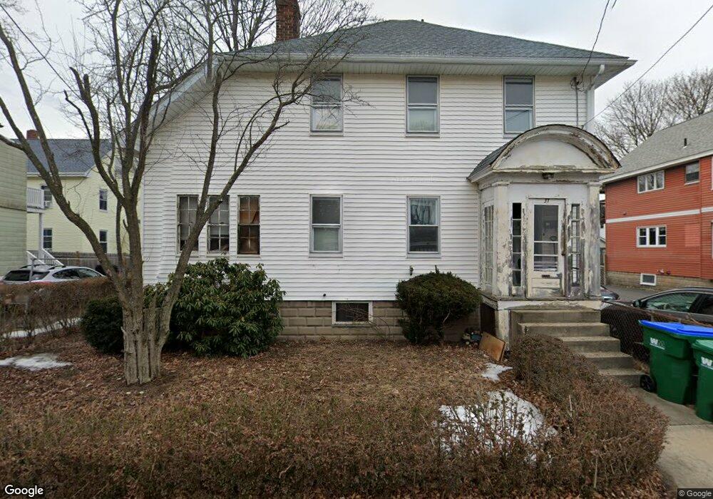
37 Maple Ave Medford, MA 02155
Medford Hillside NeighborhoodEstimated Value: $665,000 - $863,000
3
Beds
1
Bath
1,440
Sq Ft
$538/Sq Ft
Est. Value
About This Home
This home is located at 37 Maple Ave, Medford, MA 02155 and is currently estimated at $774,649, approximately $537 per square foot. 37 Maple Ave is a home located in Middlesex County with nearby schools including Medford High School, St. Joseph School, and St. Clement Elementary School.
Ownership History
Date
Name
Owned For
Owner Type
Purchase Details
Closed on
Jul 18, 1988
Sold by
Flanagan Paul F
Bought by
Bove Peter A
Current Estimated Value
Home Financials for this Owner
Home Financials are based on the most recent Mortgage that was taken out on this home.
Original Mortgage
$124,000
Interest Rate
10.57%
Mortgage Type
Purchase Money Mortgage
Create a Home Valuation Report for This Property
The Home Valuation Report is an in-depth analysis detailing your home's value as well as a comparison with similar homes in the area
Home Values in the Area
Average Home Value in this Area
Purchase History
| Date | Buyer | Sale Price | Title Company |
|---|---|---|---|
| Bove Peter A | $154,900 | -- |
Source: Public Records
Mortgage History
| Date | Status | Borrower | Loan Amount |
|---|---|---|---|
| Closed | Bove Peter A | $114,000 | |
| Closed | Bove Peter A | $117,000 | |
| Closed | Bove Peter A | $124,000 |
Source: Public Records
Tax History
| Year | Tax Paid | Tax Assessment Tax Assessment Total Assessment is a certain percentage of the fair market value that is determined by local assessors to be the total taxable value of land and additions on the property. | Land | Improvement |
|---|---|---|---|---|
| 2025 | $5,731 | $651,300 | $401,500 | $249,800 |
| 2024 | $5,196 | $609,900 | $364,200 | $245,700 |
| 2023 | $4,944 | $571,600 | $340,400 | $231,200 |
| 2022 | $4,796 | $532,300 | $309,400 | $222,900 |
| 2021 | $4,656 | $494,800 | $294,700 | $200,100 |
| 2020 | $4,631 | $504,500 | $302,300 | $202,200 |
| 2019 | $4,429 | $461,400 | $274,800 | $186,600 |
| 2018 | $4,342 | $424,000 | $249,800 | $174,200 |
| 2017 | $4,205 | $398,200 | $233,400 | $164,800 |
| 2016 | $3,921 | $350,400 | $212,200 | $138,200 |
| 2015 | $3,770 | $322,200 | $202,100 | $120,100 |
Source: Public Records
Map
Nearby Homes
- 4 West St
- 17 Manning St
- 22 Martin St Unit 22
- 54 South St Unit 5
- 2500 Mystic Valley Pkwy Unit 401
- 52 Greenleaf Ave
- 235 Winthrop St Unit 4401
- 75 Orchard St
- 161 Main St
- 190 High St Unit 412
- 179 Main St Unit 1
- 72 College Ave
- 168 Main St
- 21 Bradlee Rd Unit 32
- 21 Bradlee Rd Unit 52
- 34 Salem St Unit 301
- 32 Lincoln Rd
- 54 Forest St Unit 320
- 54 Forest St Unit 411
- 65 Hillsdale Rd Unit 1
- 33 Maple Ave
- 35 Maple Ave
- 43 Maple Ave
- 43 Maple Ave Unit 1
- 129 Summer St
- 133 Summer St
- 29 Maple Ave
- 31 Maple Ave Unit 2
- 28 Curtis St
- 28 Curtis St Unit 1
- 137 Summer St
- 30 Curtis St
- 34 Maple Ave
- 34 Maple Ave Unit Upstairs-34A
- 36 Maple Ave
- 26 Curtis St
- 121 Summer St
- 121 Summer St Unit 2
- 24 Curtis St
- 24 Curtis St Unit 1
Your Personal Tour Guide
Ask me questions while you tour the home.