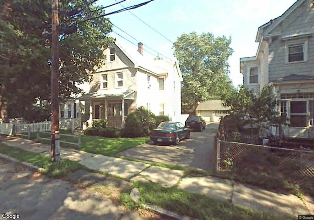
37 Teel St Arlington, MA 02474
East Arlington NeighborhoodEstimated Value: $1,147,000 - $1,373,000
4
Beds
2
Baths
1,725
Sq Ft
$731/Sq Ft
Est. Value
About This Home
This home is located at 37 Teel St, Arlington, MA 02474 and is currently estimated at $1,260,485, approximately $730 per square foot. 37 Teel St is a home located in Middlesex County with nearby schools including Hardy Elementary School, Thompson School, and Ottoson Middle School.
Ownership History
Date
Name
Owned For
Owner Type
Purchase Details
Closed on
Jun 15, 2006
Sold by
Clark Kevin M and Hahnen Mary E
Bought by
Carr Darcy F and Carr Jonathan R
Current Estimated Value
Purchase Details
Closed on
Apr 30, 1996
Sold by
Reposa Stephen J and Reposa Sandra F
Bought by
Clark Kenin M and Hahnen Mary E
Purchase Details
Closed on
May 10, 1990
Sold by
Ault Kevin F
Bought by
Reposa Stephen J
Create a Home Valuation Report for This Property
The Home Valuation Report is an in-depth analysis detailing your home's value as well as a comparison with similar homes in the area
Home Values in the Area
Average Home Value in this Area
Purchase History
We collect this data history from publicly available records. To have your information removed, we recommend requesting removal directly through your county’s website.
| Date | Buyer | Sale Price | Title Company |
|---|---|---|---|
| Carr Darcy F | $499,900 | -- | |
| Clark Kenin M | $196,000 | -- | |
| Reposa Stephen J | $170,000 | -- |
Source: Public Records
Mortgage History
We collect this data history from publicly available records. To have your information removed, we recommend requesting removal directly through your county’s website.
| Date | Status | Borrower | Loan Amount |
|---|---|---|---|
| Open | Reposa Stephen J | $387,000 | |
| Closed | Reposa Stephen J | $393,000 | |
| Closed | Reposa Stephen J | $395,000 |
Source: Public Records
Tax History
| Year | Tax Paid | Tax Assessment Tax Assessment Total Assessment is a certain percentage of the fair market value that is determined by local assessors to be the total taxable value of land and additions on the property. | Land | Improvement |
|---|---|---|---|---|
| 2025 | $12,172 | $1,130,200 | $611,200 | $519,000 |
| 2024 | $11,153 | $1,053,200 | $581,800 | $471,400 |
| 2023 | $10,525 | $938,900 | $487,800 | $451,100 |
| 2022 | $10,036 | $878,800 | $470,200 | $408,600 |
| 2021 | $9,832 | $867,000 | $470,200 | $396,800 |
| 2020 | $9,589 | $867,000 | $470,200 | $396,800 |
| 2019 | $9,022 | $801,200 | $499,500 | $301,700 |
| 2018 | $8,080 | $666,100 | $364,400 | $301,700 |
| 2017 | $7,589 | $604,200 | $317,400 | $286,800 |
| 2016 | $7,131 | $557,100 | $270,300 | $286,800 |
| 2015 | $7,257 | $535,600 | $264,500 | $271,100 |
Source: Public Records
Map
Nearby Homes
- 53 Henderson St
- 48-50 Amsden St
- 2 Thorndike St Unit 2
- 29 Victoria St
- 22 Madison Ave
- 1328 Broadway Unit 3
- 57 Fairmont St Unit 1
- 30 Madison Ave
- 11 Brookford St
- 11 Brookford St Unit 11
- 18 Chandler St
- 32 Farragut Ave Unit 3
- 89 Cleveland St Unit 89
- 14 Farragut Ave Unit 1
- 7 Farragut Ave Unit 1
- 1246 Broadway Unit 3
- 22 Cottage Park Ave Unit 1
- 2931 Washburn Ave Unit 1B
- 116 Milton St Unit 116
- 97 Elmwood St Unit 313
Your Personal Tour Guide
Ask me questions while you tour the home.