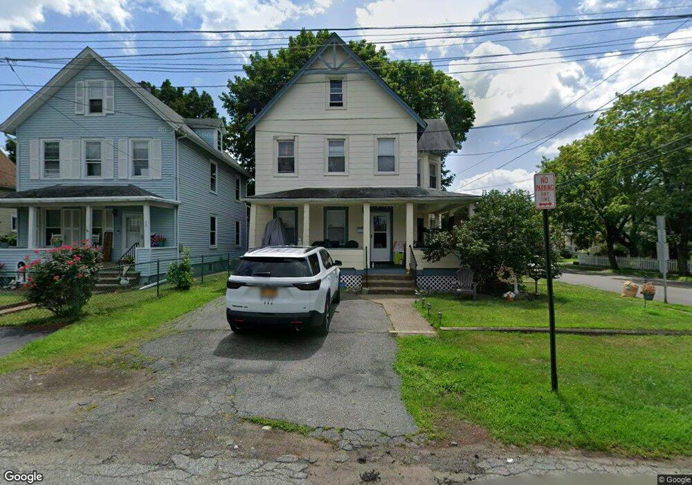
37 W Maple Ave Unit 2 Suffern, NY 10901
Estimated Value: $546,148 - $735,000
3
Beds
1
Bath
1,892
Sq Ft
$334/Sq Ft
Est. Value
About This Home
This home is located at 37 W Maple Ave Unit 2, Suffern, NY 10901 and is currently estimated at $632,787, approximately $334 per square foot. 37 W Maple Ave Unit 2 is a home located in Rockland County with nearby schools including Suffern Middle School, Suffern High School, and ONESCHOOL GLOBAL-NEW YORK.
Ownership History
Date
Name
Owned For
Owner Type
Purchase Details
Closed on
Dec 21, 2020
Sold by
Yorrick David and Yorrick Sobeyda
Bought by
Lowy Eidel
Current Estimated Value
Home Financials for this Owner
Home Financials are based on the most recent Mortgage that was taken out on this home.
Original Mortgage
$292,500
Outstanding Balance
$259,210
Interest Rate
2.7%
Mortgage Type
New Conventional
Estimated Equity
$373,577
Purchase Details
Closed on
Jan 12, 2005
Sold by
Rickle Donald V
Bought by
Yorrick David and Yorrick Sobeyda
Home Financials for this Owner
Home Financials are based on the most recent Mortgage that was taken out on this home.
Original Mortgage
$318,400
Interest Rate
5.67%
Mortgage Type
Fannie Mae Freddie Mac
Create a Home Valuation Report for This Property
The Home Valuation Report is an in-depth analysis detailing your home's value as well as a comparison with similar homes in the area
Home Values in the Area
Average Home Value in this Area
Purchase History
| Date | Buyer | Sale Price | Title Company |
|---|---|---|---|
| Lowy Eidel | $510,000 | First American Title | |
| Yorrick David | $385,000 | -- |
Source: Public Records
Mortgage History
| Date | Status | Borrower | Loan Amount |
|---|---|---|---|
| Open | Lowy Eidel | $292,500 | |
| Previous Owner | Yorrick David | $318,400 |
Source: Public Records
Tax History
| Year | Tax Paid | Tax Assessment Tax Assessment Total Assessment is a certain percentage of the fair market value that is determined by local assessors to be the total taxable value of land and additions on the property. | Land | Improvement |
|---|---|---|---|---|
| 2024 | $10,938 | $31,400 | $7,400 | $24,000 |
| 2023 | $10,938 | $31,400 | $7,400 | $24,000 |
| 2022 | $10,710 | $31,400 | $7,400 | $24,000 |
| 2021 | $10,710 | $31,400 | $7,400 | $24,000 |
| 2020 | $13,815 | $31,400 | $7,400 | $24,000 |
| 2019 | $12,449 | $31,400 | $7,400 | $24,000 |
| 2018 | $12,449 | $31,400 | $7,400 | $24,000 |
| 2017 | $12,084 | $31,400 | $7,400 | $24,000 |
| 2016 | $11,689 | $31,400 | $7,400 | $24,000 |
| 2015 | -- | $31,400 | $7,400 | $24,000 |
| 2014 | -- | $31,400 | $7,400 | $24,000 |
Source: Public Records
Map
Nearby Homes
- 57 Park Ave
- 17 W Maple Ave
- 24 E Park Place
- 168 Orange Ave
- 22 E Park Place
- 16 Oak Terrace
- 102 Washington Ave
- 13 Jersey Ave
- 74 E Maple Ave
- 112 Washington Ave
- 9 Clinton Place
- 81 E Maple Ave
- 10 Dunnery Ct
- 47 Prairie Ave
- 11 Brook St
- 59 Prairie Ave
- 3 Cross St Unit 104
- 5 Highland Ave
- 25 Rockland Terrace
- 44 Wayne Ave
- 37 W Maple Ave
- 39 W Maple Ave
- 26 Ramapo Ave
- 41 W Maple Ave
- 18 Ramapo Ave
- 21 Ramapo Ave
- 28 Ramapo Ave
- 25 Ramapo Ave
- 25 Ramapo Ave
- 25 Ramapo Ave Unit A
- 27 Ramapo Ave
- 19 Ramapo Ave
- 31 W Maple Ave
- 44 W Maple Ave
- 42 W Maltbie Ave
- 40 W Maltbie Ave
- 36 W Maltbie Ave
- 29 W Maple Ave
- 32 W Maltbie Ave
- 34 W Maple Ave
Your Personal Tour Guide
Ask me questions while you tour the home.