37 Winship Ave Wareham, MA 02571
Estimated Value: $797,000 - $960,000
4
Beds
2
Baths
2,052
Sq Ft
$414/Sq Ft
Est. Value
About This Home
This home is located at 37 Winship Ave, Wareham, MA 02571 and is currently estimated at $848,739, approximately $413 per square foot. 37 Winship Ave is a home located in Plymouth County.
Ownership History
Date
Name
Owned For
Owner Type
Purchase Details
Closed on
Jul 18, 2013
Sold by
White Norma R
Bought by
Norma R White Irt and White
Current Estimated Value
Purchase Details
Closed on
Jul 9, 2004
Sold by
White Norma R and White Robert H
Bought by
White Norma R
Home Financials for this Owner
Home Financials are based on the most recent Mortgage that was taken out on this home.
Original Mortgage
$182,000
Interest Rate
6.16%
Purchase Details
Closed on
Dec 13, 1983
Bought by
Rhodes-White Norma
Create a Home Valuation Report for This Property
The Home Valuation Report is an in-depth analysis detailing your home's value as well as a comparison with similar homes in the area
Purchase History
| Date | Buyer | Sale Price | Title Company |
|---|---|---|---|
| Norma R White Irt | -- | -- | |
| Norma R White Irt | -- | -- | |
| White Norma R | -- | -- | |
| White Norma R | -- | -- | |
| Rhodes-White Norma | -- | -- |
Source: Public Records
Mortgage History
| Date | Status | Borrower | Loan Amount |
|---|---|---|---|
| Previous Owner | Rhodes-White Norma | $175,000 | |
| Previous Owner | Rhodes-White Norma | $182,000 |
Source: Public Records
Tax History
| Year | Tax Paid | Tax Assessment Tax Assessment Total Assessment is a certain percentage of the fair market value that is determined by local assessors to be the total taxable value of land and additions on the property. | Land | Improvement |
|---|---|---|---|---|
| 2025 | $7,933 | $761,300 | $335,800 | $425,500 |
| 2024 | $7,395 | $658,500 | $252,400 | $406,100 |
| 2023 | $6,760 | $590,400 | $230,200 | $360,200 |
| 2022 | $6,760 | $512,900 | $220,200 | $292,700 |
| 2021 | $6,714 | $499,200 | $220,200 | $279,000 |
| 2020 | $6,375 | $480,800 | $220,200 | $260,600 |
| 2019 | $6,513 | $490,100 | $268,300 | $221,800 |
| 2018 | $6,390 | $468,800 | $268,300 | $200,500 |
| 2017 | $6,227 | $463,000 | $268,300 | $194,700 |
| 2016 | $5,906 | $436,500 | $268,300 | $168,200 |
| 2015 | $5,821 | $445,400 | $289,000 | $156,400 |
| 2014 | $5,384 | $419,000 | $232,200 | $186,800 |
Source: Public Records
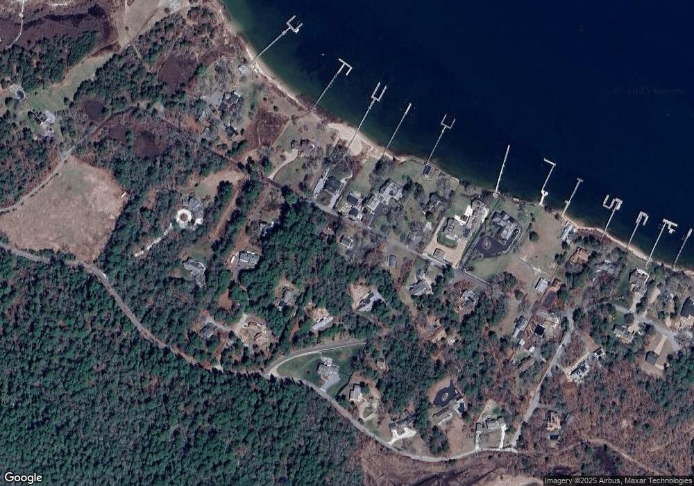
Map
Nearby Homes
- 200 Great Neck Rd
- 12 Groveland St
- 19 Maple St
- 14 Over Jordan Rd
- 22 Bay View Ave
- 10 East Blvd
- 10 East Blvd
- 12 Mason Street Extension
- 3 Carleton St Unit 3
- 29 Carleton St Unit 29
- 32 Carleton St Unit 32
- 20 Evergreen St
- 20 Evergreen St
- 10 Beacon St Unit 83
- 3 Short Neck Rd
- 11 10th St
- 35 Locust St
- 35 Locust St
- 36B Starboard Dr Unit 36E
- 36B Starboard Dr Unit 36G
- 35 Winship Ave
- 41 Winship Ave
- 6 Boat House Dr
- 36 Winship Ave
- 34 Winship Ave
- 38 Winship Ave
- 4 Boat House Dr
- 8 Boat House Dr
- 42 Winship Ave
- 3 Checkerberry Ln
- 31 Winship Ave
- 4 Checkerberry Ln
- 18 Winship Ave
- 5 Boat House Dr
- 9 Boat House Dr
- 11 Boat House Dr
- 1 Boat House Dr
- 28 Winship Ave
- 1 Checkerberry Ln
- 72-B Burgess Point Rd
Your Personal Tour Guide
Ask me questions while you tour the home.