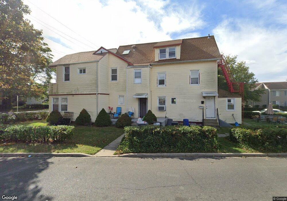
370 2nd Ave Long Branch, NJ 07740
Estimated Value: $712,000 - $1,945,000
4
Beds
4
Baths
2,938
Sq Ft
$388/Sq Ft
Est. Value
About This Home
This home is located at 370 2nd Ave, Long Branch, NJ 07740 and is currently estimated at $1,139,769, approximately $387 per square foot. 370 2nd Ave is a home located in Monmouth County with nearby schools including Long Branch High School, Holy Trinity School, and Ma'or Yeshiva High School for Boys.
Ownership History
Date
Name
Owned For
Owner Type
Purchase Details
Closed on
Aug 1, 1995
Sold by
Kenny Ellen
Bought by
Makram Abdou and Abdou Amira
Current Estimated Value
Home Financials for this Owner
Home Financials are based on the most recent Mortgage that was taken out on this home.
Original Mortgage
$89,000
Interest Rate
7.48%
Mortgage Type
Commercial
Create a Home Valuation Report for This Property
The Home Valuation Report is an in-depth analysis detailing your home's value as well as a comparison with similar homes in the area
Home Values in the Area
Average Home Value in this Area
Purchase History
| Date | Buyer | Sale Price | Title Company |
|---|---|---|---|
| Makram Abdou | $127,500 | -- |
Source: Public Records
Mortgage History
| Date | Status | Borrower | Loan Amount |
|---|---|---|---|
| Closed | Makram Abdou | $89,000 |
Source: Public Records
Tax History
| Year | Tax Paid | Tax Assessment Tax Assessment Total Assessment is a certain percentage of the fair market value that is determined by local assessors to be the total taxable value of land and additions on the property. | Land | Improvement |
|---|---|---|---|---|
| 2025 | $8,338 | $614,200 | $162,900 | $451,300 |
| 2024 | $8,072 | $542,500 | $130,900 | $411,600 |
| 2023 | $8,072 | $519,800 | $126,900 | $392,900 |
| 2022 | $7,678 | $457,000 | $110,900 | $346,100 |
| 2021 | $7,649 | $383,700 | $90,900 | $292,800 |
| 2020 | $7,649 | $366,000 | $74,900 | $291,100 |
| 2019 | $7,407 | $352,400 | $74,900 | $277,500 |
| 2018 | $7,236 | $342,300 | $74,900 | $267,400 |
| 2017 | $6,950 | $337,200 | $74,900 | $262,300 |
| 2016 | $6,677 | $330,400 | $74,900 | $255,500 |
| 2015 | $7,198 | $323,200 | $91,900 | $231,300 |
| 2014 | $6,724 | $318,200 | $113,000 | $205,200 |
Source: Public Records
Map
Nearby Homes
- 11 Seashore Dr
- 8 Seashore Dr
- 14 Seashore Dr
- 12 Seashore Dr
- 4 Seashore Dr
- 6 Seashore Dr
- 5 Seashore Dr
- 2 Seashore Dr
- 5 Coral Place
- 392 Ocean Ave Unit 1608
- 392 Ocean Ave Unit 1203
- 392 Ocean Ave Unit 1406
- 392 Ocean Ave Unit 1412
- 392 Ocean Ave Unit 1309
- 392 Ocean Ave Unit 1502
- 392 Ocean Ave Unit 1505
- 392 Ocean Ave Unit 1310
- 392 Ocean Ave Unit 1705
- 392 Ocean Ave Unit 1804
- 392 Ocean Ave Unit 1603
- 146 S Bath Ave
- 73 S Bath Ave
- 365 2nd Ave Unit 2
- 365 2nd Ave
- 365 2nd Ave Unit 4
- 365 2nd Ave Unit 3
- 365 2nd Ave Unit 5
- 365 2nd Ave Unit 6
- 70 S Bath Ave
- 64 S Bath Ave
- 57 S Bath Ave
- 57 S Bath Ave Unit A
- 57 S Bath Ave Unit B
- 57 S Bath Ave Unit C
- 1 Coral Place
- 345 2nd Ave Unit 14
- 345 2nd Ave Unit 8
- 345 2nd Ave Unit 13
- 345 2nd Ave Unit 12
- 345 2nd Ave Unit 11
Your Personal Tour Guide
Ask me questions while you tour the home.