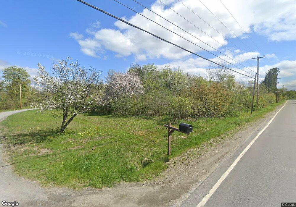
370 Anson Rd Starks, ME 04911
Estimated Value: $98,302 - $186,000
Studio
--
Bath
--
Sq Ft
174,240
Sq Ft Lot
About This Home
This home is located at 370 Anson Rd, Starks, ME 04911 and is currently estimated at $150,326. 370 Anson Rd is a home with nearby schools including Madison Area Memorial High School.
Create a Home Valuation Report for This Property
The Home Valuation Report is an in-depth analysis detailing your home's value as well as a comparison with similar homes in the area
Tax History
| Year | Tax Paid | Tax Assessment Tax Assessment Total Assessment is a certain percentage of the fair market value that is determined by local assessors to be the total taxable value of land and additions on the property. | Land | Improvement |
|---|---|---|---|---|
| 2024 | $430 | $29,880 | $14,880 | $15,000 |
| 2023 | $417 | $29,880 | $14,880 | $15,000 |
| 2022 | $379 | $29,880 | $14,880 | $15,000 |
| 2021 | $413 | $29,880 | $14,880 | $15,000 |
| 2020 | $471 | $29,880 | $14,880 | $15,000 |
| 2019 | $464 | $24,900 | $12,400 | $12,500 |
| 2018 | $438 | $24,900 | $12,400 | $12,500 |
| 2017 | $417 | $24,900 | $12,400 | $12,500 |
| 2016 | $389 | $19,950 | $9,950 | $10,000 |
Source: Public Records
Map
Nearby Homes
- 17 Anson Rd
- 1.3 Mayhew Rd
- map6 lot1 Mayhew Rd
- Map6 lot2 Mayhew Rd
- 735 Sandy River Rd
- 8 Magnolia Ln
- 1648 New Sharon Rd
- 78 Fording Rd
- 300 Locke Hill Rd
- 510 Branns Mill Rd
- 199 Elm St
- Lot 2-1 Father Rasle Rd
- Lot 2 Father Rasle Rd
- 012-002 W Mill Rd
- 88 Childs Rd
- 1194 Mercer Rd
- 6 Myrtle St
- 83 Preble Ave
- 88 Pine St
- 8 Preble Ave
- TBD Route 43
- 398 Anson Rd
- 375 Anson Rd
- 410 Anson Rd
- 393 Anson Rd
- 404 Anson Rd
- 359 Anson Valley
- 332 Anson Rd
- 336 Anson Rd
- 32.21 Anson Rd
- 330 Anson
- 417 Anson Rd
- 442 Anson Rd
- TBD Rt 43 E
- 13 Kimball Ln
- 430 Anson Rd
- 55 Kimball Ln
- 0 Felkner Hill Rd Unit 824409
- 0 Felkner Hill Rd Unit 589471
- 0 Felkner Hill Rd Unit 965442
Your Personal Tour Guide
Ask me questions while you tour the home.