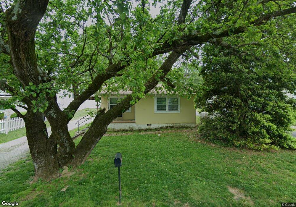
370 Cedar Ave Demorest, GA 30535
Estimated Value: $109,000 - $185,000
About This Home
This home is located at 370 Cedar Ave, Demorest, GA 30535 and is currently estimated at $137,034, approximately $233 per square foot. 370 Cedar Ave is a home located in Habersham County with nearby schools including Demorest Elementary School, Wilbanks Middle School, and Habersham Success Academy.
Ownership History
We collect this data history from publicly available records. To have your information removed, we recommend requesting removal directly through your county’s website.
Purchase Details
Purchase Details
Home Financials for this Owner
Home Financials are based on the most recent Mortgage that was taken out on this home.Purchase Details
Purchase Details
Purchase Details
Home Values in the Area
Average Home Value in this Area
Purchase History
We collect this data history from publicly available records. To have your information removed, we recommend requesting removal directly through your county’s website.
| Date | Buyer | Sale Price | Title Company |
|---|---|---|---|
| $90,000 | -- | ||
| $90,000 | -- | ||
| -- | -- | ||
| -- | -- | ||
| -- | -- |
Mortgage History
We collect this data history from publicly available records. To have your information removed, we recommend requesting removal directly through your county’s website.
| Date | Status | Borrower | Loan Amount |
|---|---|---|---|
| Previous Owner | $70,000 |
Tax History
We collect this data history from publicly available records. To have your information removed, we recommend requesting removal directly through your county’s website.
| Year | Tax Paid | Tax Assessment Tax Assessment Total Assessment is a certain percentage of the fair market value that is determined by local assessors to be the total taxable value of land and additions on the property. | Land | Improvement |
|---|---|---|---|---|
| 2025 | $1,315 | $41,995 | $6,552 | $35,443 |
| 2024 | $955 | $36,800 | $4,860 | $31,940 |
| 2023 | $780 | $31,180 | $4,860 | $26,320 |
| 2022 | $574 | $22,028 | $3,888 | $18,140 |
| 2021 | $435 | $16,776 | $3,500 | $13,276 |
| 2020 | $340 | $12,628 | $2,916 | $9,712 |
| 2019 | $340 | $12,628 | $2,916 | $9,712 |
| 2018 | $324 | $12,144 | $2,432 | $9,712 |
| 2017 | $291 | $10,852 | $1,944 | $8,908 |
| 2016 | $283 | $27,130 | $1,944 | $8,908 |
| 2015 | $280 | $27,130 | $1,944 | $8,908 |
| 2014 | $280 | $26,680 | $1,944 | $8,728 |
| 2013 | -- | $10,672 | $1,944 | $8,728 |
Map
- 314 Holley St
- 170 Tomlin Aly
- 545 Wauka Dr
- 1910 Hancock Rd
- 139 Saluda Dr
- 121 Saluda Dr
- 668 Bald Ridge Cir
- 660 Bald Ridge Cir
- 620 Bald Ridge Cir
- 629 Bald Ridge Cir
- 623 Bald Ridge Cir
- 642 Bald Ridge Cir
- 646 Bald Ridge Cir
- 654 Bald Ridge Cir
- 151 Ivy St
- 650 Bald Ridge Cir
- 210 Kentucky Dr
- 1562 Central Ave
- 144 Georgia St
- 261 Legacy Dr
Ask me questions while you tour the home.