Estimated Value: $225,000 - $294,000
About This Home
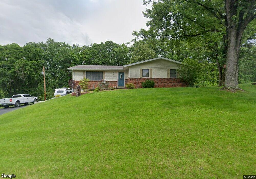
This home is located at 370 Daniels Estates Dr, Union, MO 63084 and is currently estimated at $256,701, approximately $178 per square foot. 370 Daniels Estates Dr is a home located in Franklin County with nearby schools including Washington High School, Immaculate Conception School, and St. Gertrude Catholic School.
Ownership History
We collect this data history from publicly available records. To have your information removed, we recommend requesting removal directly through your county’s website.
Purchase Details
Home Financials for this Owner
Home Financials are based on the most recent Mortgage that was taken out on this home.Purchase Details
Home Financials for this Owner
Home Financials are based on the most recent Mortgage that was taken out on this home.Purchase History
We collect this data history from publicly available records. To have your information removed, we recommend requesting removal directly through your county’s website.
| Date | Buyer | Sale Price | Title Company |
|---|---|---|---|
| -- | None Available | ||
| -- | None Available |
Mortgage History
We collect this data history from publicly available records. To have your information removed, we recommend requesting removal directly through your county’s website.
| Date | Status | Borrower | Loan Amount |
|---|---|---|---|
| Open | $97,900 | ||
| Closed | $98,500 |
Tax History
We collect this data history from publicly available records. To have your information removed, we recommend requesting removal directly through your county’s website.
| Year | Tax Paid | Tax Assessment Tax Assessment Total Assessment is a certain percentage of the fair market value that is determined by local assessors to be the total taxable value of land and additions on the property. | Land | Improvement |
|---|---|---|---|---|
| 2025 | $1,727 | $31,850 | $0 | $0 |
| 2024 | $1,727 | $28,090 | $0 | $0 |
| 2023 | $1,556 | $28,090 | $0 | $0 |
| 2022 | $1,544 | $27,797 | $0 | $0 |
| 2021 | $1,544 | $27,797 | $0 | $0 |
| 2020 | $1,448 | $25,084 | $0 | $0 |
| 2019 | $1,443 | $25,084 | $0 | $0 |
| 2018 | $1,326 | $24,271 | $0 | $0 |
| 2017 | $1,329 | $24,271 | $0 | $0 |
| 2016 | $1,243 | $22,576 | $0 | $0 |
| 2015 | $1,242 | $22,576 | $0 | $0 |
| 2014 | $1,252 | $22,753 | $0 | $0 |
Map
- 3762 Highway A
- 18 Forest Hills Dr
- 110 Cedar Berry Dr
- 1300 N Washington Ave
- 000 Mo-V
- 0 Heard Ct
- 3330 Highway A
- 541 Rock Creek Dr
- 6414 Country Club Rd
- 1008 N Washington Ave
- 318 Central Ave
- 609 W Roosevelt Ave
- 506 E Park Ave
- 321 Watermill Dr
- 22+/-acres Highway A and Broadmoor
- 5352 Saint Louis Rock Rd
- 419 Cloverleaf Dr
- 500 W End Ave
- 613 W State St
- N Highway 47 E State Highway 47
- 0 Daniels Estates Dr
- 3 Daniels Estate
- 331 Daniels Estates Dr
- 346 Daniels Estates Dr
- 332 Daniels Estates Dr
- 340 Daniels Estates Dr
- 356 Daniels Estates Dr
- 345 Daniels Estates Dr
- 323 Daniels Estates Dr
- 376 Daniels Estates Dr
- 355 Daniels Estates Dr
- 317 Daniels Estates Dr
- 306 Daniels Estates Dr
- 306 Daniels Estates Dr
- 375 Daniels Estates Dr
- 313 Daniels Estates Dr
- 322 Daniels Estates Dr
- 391 Daniels Estates Dr
- 311 Daniels Estates Dr
- 398 Daniels Estates Dr
Ask me questions while you tour the home.