Estimated Value: $447,000 - $455,000
Studio
--
Bath
2,030
Sq Ft
$222/Sq Ft
Est. Value
About This Home
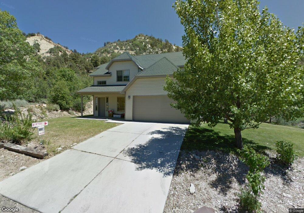
This home is located at 370 E Cox Ln, Kanab, UT 84741 and is currently estimated at $451,000, approximately $222 per square foot. 370 E Cox Ln is a home with nearby schools including Valley Elementary School and Valley High School.
Ownership History
Date
Name
Owned For
Owner Type
Purchase Details
Closed on
Jan 18, 2023
Sold by
Reynolds Alec
Bought by
Gerstner Wilford Clayton
Current Estimated Value
Purchase Details
Closed on
Apr 8, 2019
Bought by
Reynolds Alec and Mcfarland Mina Jo
Purchase Details
Closed on
Jul 19, 2016
Sold by
Blodgett Brent T and Blodgett Chantelle F
Bought by
Reynolds Alec
Purchase Details
Closed on
Jul 6, 2005
Sold by
Berryville Hills Development Llc
Bought by
Blodgett Brent T and Blodgett Chantelle F
Home Financials for this Owner
Home Financials are based on the most recent Mortgage that was taken out on this home.
Original Mortgage
$180,000
Interest Rate
5.58%
Create a Home Valuation Report for This Property
The Home Valuation Report is an in-depth analysis detailing your home's value as well as a comparison with similar homes in the area
Purchase History
| Date | Buyer | Sale Price | Title Company |
|---|---|---|---|
| Gerstner Wilford Clayton | -- | -- | |
| Reynolds Alec | -- | -- | |
| Reynolds Alec | -- | -- | |
| Blodgett Brent T | -- | -- |
Source: Public Records
Mortgage History
| Date | Status | Borrower | Loan Amount |
|---|---|---|---|
| Previous Owner | Blodgett Brent T | $180,000 |
Source: Public Records
Tax History
| Year | Tax Paid | Tax Assessment Tax Assessment Total Assessment is a certain percentage of the fair market value that is determined by local assessors to be the total taxable value of land and additions on the property. | Land | Improvement |
|---|---|---|---|---|
| 2025 | $2,841 | $349,841 | $76,010 | $273,831 |
| 2024 | $2,730 | $183,624 | $34,838 | $148,786 |
| 2023 | $2,403 | $166,931 | $31,671 | $135,260 |
| 2022 | $1,275 | $143,791 | $25,608 | $118,183 |
| 2021 | $1,158 | $194,391 | $29,100 | $165,291 |
| 2020 | $1,196 | $194,391 | $29,100 | $165,291 |
| 2019 | $1,137 | $179,516 | $29,100 | $150,416 |
| 2018 | $1,140 | $179,516 | $29,100 | $150,416 |
| 2017 | $1,104 | $169,721 | $27,690 | $142,031 |
| 2016 | $1,172 | $176,091 | $27,690 | $148,401 |
| 2015 | $1,071 | $169,701 | $21,300 | $148,401 |
| 2014 | $1,071 | $156,302 | $26,400 | $129,902 |
| 2013 | -- | $85,966 | $0 | $0 |
Source: Public Records
Map
Nearby Homes
- 95 E 100 N
- 0 Bench Rd
- 0 Hwy 89 Unit 1408986
- 325 N Main St
- 0 240 Acres Unit 111126
- 1460 E Coral Pink Cliffs Rd
- 240 Acres In Glendale
- Parcel 6 Mystic River Ln
- 0 Glendale Unit 2808494
- 5000 U S 89
- 421 White Sands Way Unit D
- 421 White Sands Way Unit B
- 0 Pinion Pine Unit 1409285
- 0 W White Cliffs Dr Unit 1409195
- 23 W White Cliffs Dr Unit 23
- 375 W White Cliffs Dr
- 1310 S State St
- 1310 S State St Unit 20.13 AC
- Parcel 1 Jump Up Canyon
- 0 Duck Creek Unit 113172
- 360 E Cox Lane Rd
- 370 E Cox Ln Rd
- - E Cox Lane Rd Unit Lot 35
- 350 E 100 N
- 360 E Cox Ln
- 50 N N 200 E St E
- 344 E Cox Lane Rd
- 373 E Overlook Ln
- 348 E Overlook Ln
- 372 E Overlook Ln
- 388 E Overlook Ln
- 351 E Overlook Ln
- 384 E Overlook Ln
- 309 E Overlook Ln
- 329 E Overlook Ln
- 303 E Overlook Ln
- 295 E 100 N
- 0 Overlook Ln
- 23 Overlook Ln
- 26, Overlook Ln
Your Personal Tour Guide
Ask me questions while you tour the home.