Estimated Value: $248,000 - $293,000
3
Beds
2
Baths
1,188
Sq Ft
$228/Sq Ft
Est. Value
About This Home
This home is located at 3702 Wyant Rd, Vale, NC 28168 and is currently estimated at $271,152, approximately $228 per square foot. 3702 Wyant Rd is a home located in Lincoln County with nearby schools including Union Elementary School, West Lincoln Middle, and West Lincoln High School.
Ownership History
Date
Name
Owned For
Owner Type
Purchase Details
Closed on
Dec 23, 2022
Sold by
Douglas Michael J
Bought by
Douglas Michael J and Douglas Deborah H
Current Estimated Value
Home Financials for this Owner
Home Financials are based on the most recent Mortgage that was taken out on this home.
Original Mortgage
$122,100
Outstanding Balance
$118,202
Interest Rate
6.61%
Mortgage Type
FHA
Estimated Equity
$152,950
Purchase Details
Closed on
Jun 11, 2001
Bought by
Douglas Michael J and Hall Deborah C
Purchase Details
Closed on
Aug 20, 1998
Bought by
Foss Forest E
Purchase Details
Closed on
Nov 24, 1997
Bought by
Scronce Flay C
Create a Home Valuation Report for This Property
The Home Valuation Report is an in-depth analysis detailing your home's value as well as a comparison with similar homes in the area
Home Values in the Area
Average Home Value in this Area
Purchase History
| Date | Buyer | Sale Price | Title Company |
|---|---|---|---|
| Douglas Michael J | -- | Vantage Point Title | |
| Douglas Michael J | -- | Vantage Point Title | |
| Douglas Michael J | $84,500 | -- | |
| Foss Forest E | $14,000 | -- | |
| Scronce Flay C | $2,000 | -- |
Source: Public Records
Mortgage History
| Date | Status | Borrower | Loan Amount |
|---|---|---|---|
| Open | Douglas Michael J | $122,100 | |
| Closed | Douglas Michael J | $122,100 |
Source: Public Records
Tax History
| Year | Tax Paid | Tax Assessment Tax Assessment Total Assessment is a certain percentage of the fair market value that is determined by local assessors to be the total taxable value of land and additions on the property. | Land | Improvement |
|---|---|---|---|---|
| 2025 | $1,522 | $221,462 | $24,000 | $197,462 |
| 2024 | $1,502 | $221,462 | $24,000 | $197,462 |
| 2023 | $1,497 | $221,462 | $24,000 | $197,462 |
| 2022 | $978 | $116,024 | $20,000 | $96,024 |
| 2021 | $978 | $116,024 | $20,000 | $96,024 |
| 2020 | $840 | $116,024 | $20,000 | $96,024 |
| 2019 | $840 | $116,024 | $20,000 | $96,024 |
| 2018 | $837 | $98,907 | $18,500 | $80,407 |
| 2017 | $728 | $98,907 | $18,500 | $80,407 |
| 2016 | $693 | $98,907 | $18,500 | $80,407 |
| 2015 | $775 | $98,907 | $18,500 | $80,407 |
| 2014 | $788 | $104,866 | $19,000 | $85,866 |
Source: Public Records
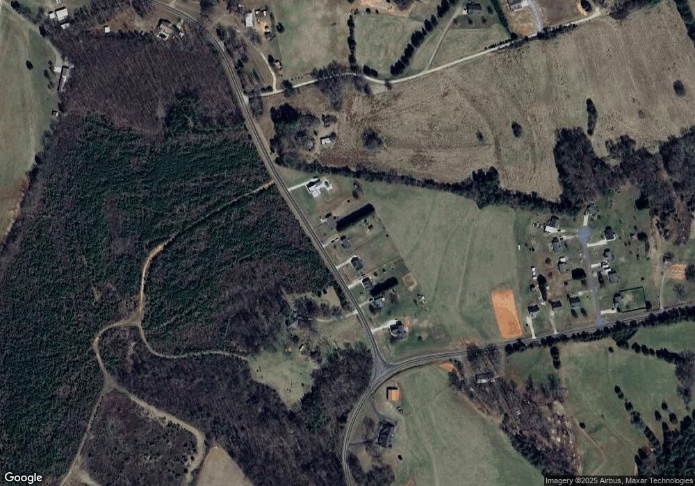
Map
Nearby Homes
- 3802 Babe Ln
- 3844 Wyant Rd
- 000 Rosedale Point
- 3248 Killian Rd
- 2482 June Bug Rd
- 5180 Macedonia Church Rd
- 4060 Ritchfield Dr Unit 19
- 1983 Seagletown Rd
- 3386 Blackburn Bridge Rd
- 3897 Ritchie Rd
- 1310 Western Hills Ln
- 5350 Hope Rd
- 5404 Hope Rd
- 1855 Jetton Dr
- 4363 Grace Church Rd
- 000 Flag Ln Unit 53
- 3603 Ritchie Rd
- 2627 Easter St
- 3817 Spike Ln
- 1784 Union Heights Ct
Your Personal Tour Guide
Ask me questions while you tour the home.