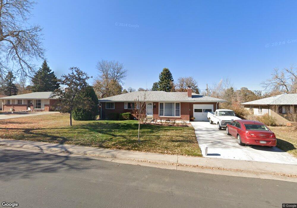
371 Lansing St Aurora, CO 80010
Highland Park NeighborhoodEstimated Value: $415,298 - $447,000
3
Beds
2
Baths
1,092
Sq Ft
$397/Sq Ft
Est. Value
About This Home
This home is located at 371 Lansing St, Aurora, CO 80010 and is currently estimated at $433,825, approximately $397 per square foot. 371 Lansing St is a home located in Arapahoe County with nearby schools including Lansing Elementary Community School, Aurora Hills Middle School, and Aurora Central High School.
Ownership History
Date
Name
Owned For
Owner Type
Purchase Details
Closed on
Jan 22, 2025
Sold by
Watkins Benny D and Watkins Vangie E
Bought by
Watkins Family Trust and Watkins
Current Estimated Value
Purchase Details
Closed on
Sep 1, 1977
Sold by
Conversion Arapco
Bought by
Conversion Arapco
Purchase Details
Closed on
Jul 4, 1776
Bought by
Conversion Arapco
Create a Home Valuation Report for This Property
The Home Valuation Report is an in-depth analysis detailing your home's value as well as a comparison with similar homes in the area
Home Values in the Area
Average Home Value in this Area
Purchase History
| Date | Buyer | Sale Price | Title Company |
|---|---|---|---|
| Watkins Family Trust | -- | None Listed On Document | |
| Conversion Arapco | -- | -- | |
| Conversion Arapco | -- | -- |
Source: Public Records
Tax History
| Year | Tax Paid | Tax Assessment Tax Assessment Total Assessment is a certain percentage of the fair market value that is determined by local assessors to be the total taxable value of land and additions on the property. | Land | Improvement |
|---|---|---|---|---|
| 2025 | $2,015 | $27,525 | -- | -- |
| 2024 | $1,955 | $27,731 | -- | -- |
| 2023 | $1,955 | $27,731 | $0 | $0 |
| 2022 | $1,481 | $21,698 | $0 | $0 |
| 2021 | $1,529 | $21,698 | $0 | $0 |
| 2020 | $1,582 | $22,344 | $0 | $0 |
| 2019 | $1,574 | $22,344 | $0 | $0 |
| 2018 | $1,127 | $17,856 | $0 | $0 |
| 2017 | $980 | $17,856 | $0 | $0 |
| 2016 | $705 | $15,005 | $0 | $0 |
| 2015 | $680 | $15,005 | $0 | $0 |
| 2014 | $473 | $10,038 | $0 | $0 |
| 2013 | -- | $10,390 | $0 | $0 |
Source: Public Records
Map
Nearby Homes
- 11038 E 4th Way
- 11520 E 2nd Ave
- 429 Newark St
- 80 Lansing St Unit 80
- 11550 E 2nd Ave
- 223 Nome St
- 64 Macon St
- 11413 E Ellsworth Place
- 11408 E 7th Ave
- 10633 E 6th Place
- 745 Lima St
- 740 Moline St
- 11538 E Highline Place
- 92 Newark St Unit A
- 740 Ironton St
- 62 Newark St Unit C
- 740 Newark St
- 13 Nome Way Unit A
- 11718 E Canal Dr
- 765 Moline St
- 381 Lansing St
- 361 Lansing St
- 388 Kingston St
- 378 Kingston St
- 391 Lansing St
- 351 Lansing St
- 398 Kingston St
- 368 Kingston St
- 380 Lansing St
- 370 Lansing St
- 390 Lansing St
- 360 Lansing St
- 408 Kingston St
- 401 Lansing St
- 358 Kingston St
- 400 Lansing St
- 350 Lansing St
- 379 Kingston St
- 418 Kingston St
- 373 Lima St
Your Personal Tour Guide
Ask me questions while you tour the home.