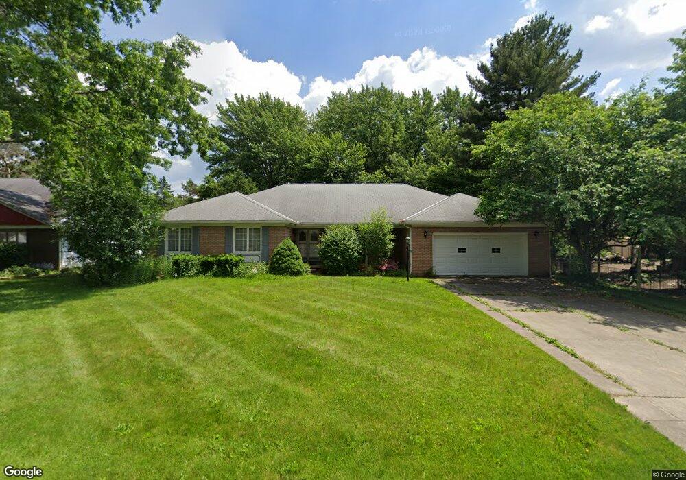
371 N Pershing Ave Akron, OH 44313
Northwest Akron NeighborhoodEstimated Value: $339,000 - $365,000
4
Beds
2
Baths
2,834
Sq Ft
$124/Sq Ft
Est. Value
About This Home
This home is located at 371 N Pershing Ave, Akron, OH 44313 and is currently estimated at $351,925, approximately $124 per square foot. 371 N Pershing Ave is a home located in Summit County with nearby schools including Summit Academy School, Our Lady Of The Elms Elementary School, and St. Hilary Elementary School.
Ownership History
Date
Name
Owned For
Owner Type
Purchase Details
Closed on
May 1, 2019
Sold by
Mcbryer Sarah Jane and Commins Joel
Bought by
Kramer Thomas Earl and Kramer Peggy Jean
Current Estimated Value
Home Financials for this Owner
Home Financials are based on the most recent Mortgage that was taken out on this home.
Original Mortgage
$114,000
Outstanding Balance
$100,229
Interest Rate
4.2%
Mortgage Type
New Conventional
Estimated Equity
$251,696
Purchase Details
Closed on
Oct 6, 2017
Sold by
Ajamie Gary T
Bought by
Ajamie Gary T
Purchase Details
Closed on
Feb 27, 2002
Sold by
Ajamie Alfred and Ajamie Lucille
Bought by
Ajamie Lucille and Lucille Ajamie Revocable Living Trust Ag
Create a Home Valuation Report for This Property
The Home Valuation Report is an in-depth analysis detailing your home's value as well as a comparison with similar homes in the area
Home Values in the Area
Average Home Value in this Area
Purchase History
| Date | Buyer | Sale Price | Title Company |
|---|---|---|---|
| Kramer Thomas Earl | $205,000 | None Available | |
| Ajamie Gary T | -- | None Available | |
| Ajamie Lucille | -- | C&J Title |
Source: Public Records
Mortgage History
| Date | Status | Borrower | Loan Amount |
|---|---|---|---|
| Open | Kramer Thomas Earl | $114,000 |
Source: Public Records
Tax History
| Year | Tax Paid | Tax Assessment Tax Assessment Total Assessment is a certain percentage of the fair market value that is determined by local assessors to be the total taxable value of land and additions on the property. | Land | Improvement |
|---|---|---|---|---|
| 2024 | $6,304 | $120,918 | $16,191 | $104,727 |
| 2023 | $6,304 | $120,918 | $16,191 | $104,727 |
| 2022 | $6,124 | $92,303 | $12,359 | $79,944 |
| 2021 | $6,131 | $92,303 | $12,359 | $79,944 |
| 2020 | $6,200 | $92,300 | $12,360 | $79,940 |
| 2019 | $6,112 | $82,600 | $14,000 | $68,600 |
| 2018 | $6,030 | $82,600 | $14,000 | $68,600 |
| 2017 | $4,569 | $82,600 | $14,000 | $68,600 |
| 2016 | $4,956 | $74,760 | $14,000 | $60,760 |
| 2015 | $4,569 | $72,160 | $11,400 | $60,760 |
| 2014 | $4,531 | $72,160 | $11,400 | $60,760 |
| 2013 | $4,464 | $72,560 | $11,400 | $61,160 |
Source: Public Records
Map
Nearby Homes
- 2330 Thurmont Rd
- 1976 Stabler Rd
- 1804-1808 Cromwell Dr
- 1851 Cromwell Dr Unit 1853
- 394 N Hawkins Ave
- 286 Sand Run Rd
- 635 N Hawkins Ave
- 1600 Bond St
- 1606 Fairfax Rd
- 131 N Wheaton Rd
- 508 Clearbrook Dr
- 48 S Wheaton Rd
- 637 Hunters Trail Unit 154
- 0 White Pond Dr Unit 5156539
- 155 Hampshire Rd
- 585 Hampton Ridge Dr Unit EE585
- 2200 Tinkham Rd
- 241 Lownsdale Ave
- 135 Southwood Rd
- 970 Hampton Ridge Dr Unit 6D
- 357 N Pershing Ave
- 385 N Pershing Ave
- 374 N Pershing Ave
- 1905 Larchmont Rd
- 1867 Larchmont Rd
- 405 N Pershing Ave
- 1916 Burlington Rd
- 2280 Thurmont Rd
- 2270 Thurmont Rd
- 1894 Larchmont Rd
- 1882 Larchmont Rd
- 400 N Pershing Ave
- 1919 Larchmont Rd
- 1905 Burlington Rd
- 2260 Thurmont Rd
- 1924 Burlington Rd
- 1915 Burlington Rd
- 338 N Pershing Ave
- 1868 Larchmont Rd
- 1876 Larchmont Rd
Your Personal Tour Guide
Ask me questions while you tour the home.