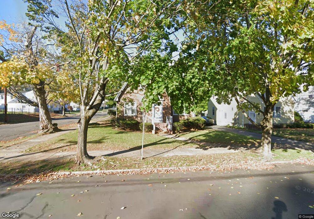
372 Commonwealth Ave New Britain, CT 06053
Estimated Value: $314,000 - $364,000
About This Home
This home is located at 372 Commonwealth Ave, New Britain, CT 06053 and is currently estimated at $338,330, approximately $199 per square foot. 372 Commonwealth Ave is a home located in Hartford County with nearby schools including Holmes School, Pulaski Middle School, and Mountain Laurel Sudbury School.
Ownership History
We collect this data history from publicly available records. To have your information removed, we recommend requesting removal directly through your county’s website.
Purchase Details
Home Financials for this Owner
Home Financials are based on the most recent Mortgage that was taken out on this home.Home Values in the Area
Average Home Value in this Area
Purchase History
We collect this data history from publicly available records. To have your information removed, we recommend requesting removal directly through your county’s website.
| Date | Buyer | Sale Price | Title Company |
|---|---|---|---|
| $300,000 | -- |
Mortgage History
We collect this data history from publicly available records. To have your information removed, we recommend requesting removal directly through your county’s website.
| Date | Status | Borrower | Loan Amount |
|---|---|---|---|
| Open | $85,000 | ||
| Closed | $60,000 | ||
| Closed | $2,300,000 |
Tax History
We collect this data history from publicly available records. To have your information removed, we recommend requesting removal directly through your county’s website.
| Year | Tax Paid | Tax Assessment Tax Assessment Total Assessment is a certain percentage of the fair market value that is determined by local assessors to be the total taxable value of land and additions on the property. | Land | Improvement |
|---|---|---|---|---|
| 2025 | $7,235 | $184,660 | $66,080 | $118,580 |
| 2024 | $7,311 | $184,660 | $66,080 | $118,580 |
| 2023 | $7,069 | $184,660 | $66,080 | $118,580 |
| 2022 | $5,915 | $119,490 | $30,450 | $89,040 |
| 2021 | $5,915 | $119,490 | $30,450 | $89,040 |
| 2020 | $6,034 | $119,490 | $30,450 | $89,040 |
| 2019 | $6,034 | $119,490 | $30,450 | $89,040 |
| 2018 | $6,034 | $119,490 | $30,450 | $89,040 |
| 2017 | $5,486 | $108,640 | $27,720 | $80,920 |
| 2016 | $5,486 | $108,640 | $27,720 | $80,920 |
| 2015 | $5,323 | $108,640 | $27,720 | $80,920 |
| 2014 | $5,323 | $108,640 | $27,720 | $80,920 |
Map
- 194 Carlton St
- 215 Stratford Rd
- 309 Francis St
- 482 Commonwealth Ave
- 119 Stewart St
- 108 Dudley St
- 38 Carlton St
- 422 Francis St
- 331 Eddy Glover Blvd
- 302 Allen St
- 26 Magnolia St
- 61 Gladiola St
- 286 Tremont St
- 154 Allen St
- 466 Blake Rd
- 92 Hazelmere Rd
- 198 Oak St
- 170 Wilcox St
- 255 Lasalle St
- 143 Carroll St
- 381 Commonwealth Ave
- 375 Commonwealth Ave
- 385 Commonwealth Ave
- 367 Commonwealth Ave
- 367 Commonwealth Ave Unit 2
- 367 Commonwealth Ave Unit Right Side
- 367 Commonwealth Ave Unit Right unit
- 367 Commonwealth Ave Unit Left Unit
- 367 Commonwealth Ave Unit Left
- 206 Carlton St
- 210 Carlton St
- 365 Commonwealth Ave
- 200 Carlton St
- 218 Carlton St
- 227 Francis St
- 361 Commonwealth Ave
- 239 Francis St
- 378 Commonwealth Ave
- 384 Commonwealth Ave
- 188 Carlton St
Ask me questions while you tour the home.