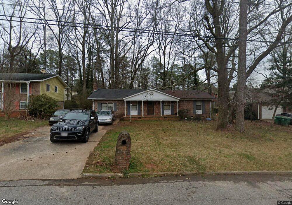
3724 Manhattan Dr Decatur, GA 30034
Southwest DeKalb NeighborhoodEstimated Value: $233,466 - $295,000
3
Beds
2
Baths
1,596
Sq Ft
$160/Sq Ft
Est. Value
About This Home
This home is located at 3724 Manhattan Dr, Decatur, GA 30034 and is currently estimated at $255,117, approximately $159 per square foot. 3724 Manhattan Dr is a home located in DeKalb County with nearby schools including Chapel Hill Elementary School, Chapel Hill Middle School, and Southwest Dekalb High School.
Ownership History
Date
Name
Owned For
Owner Type
Purchase Details
Closed on
May 18, 2022
Sold by
Sfr Xii Atl Owner 5 Lp
Bought by
Sfr Xii Nm Atl Owner 1 Lp
Current Estimated Value
Purchase Details
Closed on
Nov 18, 2021
Sold by
Epps Barbara S
Bought by
Sfr Xii Atl Owner 5 Lp
Purchase Details
Closed on
Dec 19, 2005
Sold by
Epps Larry
Bought by
Epps Barbara S
Home Financials for this Owner
Home Financials are based on the most recent Mortgage that was taken out on this home.
Original Mortgage
$108,000
Interest Rate
6.28%
Mortgage Type
New Conventional
Purchase Details
Closed on
Dec 31, 2001
Sold by
Epps Larry
Bought by
Epps Larry and Epps Barbara S
Home Financials for this Owner
Home Financials are based on the most recent Mortgage that was taken out on this home.
Original Mortgage
$77,000
Interest Rate
7.08%
Mortgage Type
New Conventional
Create a Home Valuation Report for This Property
The Home Valuation Report is an in-depth analysis detailing your home's value as well as a comparison with similar homes in the area
Home Values in the Area
Average Home Value in this Area
Purchase History
| Date | Buyer | Sale Price | Title Company |
|---|---|---|---|
| Sfr Xii Nm Atl Owner 1 Lp | -- | -- | |
| Sfr Xii Atl Owner 5 Lp | $239,100 | -- | |
| Epps Barbara S | -- | -- | |
| Epps Larry | -- | -- |
Source: Public Records
Mortgage History
| Date | Status | Borrower | Loan Amount |
|---|---|---|---|
| Previous Owner | Epps Barbara S | $108,000 | |
| Previous Owner | Epps Larry | $77,000 |
Source: Public Records
Tax History
| Year | Tax Paid | Tax Assessment Tax Assessment Total Assessment is a certain percentage of the fair market value that is determined by local assessors to be the total taxable value of land and additions on the property. | Land | Improvement |
|---|---|---|---|---|
| 2025 | $4,441 | $91,240 | $16,000 | $75,240 |
| 2024 | $4,438 | $91,240 | $16,000 | $75,240 |
| 2023 | $4,438 | $88,280 | $16,000 | $72,280 |
Source: Public Records
Map
Nearby Homes
- 4123 Shorter Way
- 3733 Milliken Ct
- 3708 Milliken Ct Unit III
- 4158 Marist Ct
- 3667 Manhattan Dr
- 3798 Radcliffe Blvd
- 3891 Valpariso Cir
- 3748 Valpariso Cir Unit V
- 3666 Stanford Cir
- 3749 Valpariso Cir
- 4263 Southvale Dr
- 3807 Valpariso Cir
- 4305 Old Lake Dr
- 4222 Abilene Ct
- 4092 Pepperdine Dr
- 4287 Bucknell Dr
- 4113 Radcliffe Ct
- 4056 Wortham Way
- 4301 Dogwood Farms Dr
- 3691 Sapphire Ct
- 3724 Manhattan Dr
- 3724 Manhattan Dr Unit LOT 41
- 3718 Manhattan Dr
- 3730 Manhattan Dr
- 3546 Stanford Cir
- 3552 Stanford Cir
- 3712 Manhattan Dr
- 3558 Stanford Cir
- 3540 Stanford Cir
- 3736 Manhattan Dr
- 3729 Manhattan Dr
- 3721 Manhattan Dr
- 3564 Stanford Cir
- 3534 Stanford Cir
- 3706 Manhattan Dr
- 4138 Lehigh Blvd
- 3742 Manhattan Dr
- 4129 Yankton Ct
- 4156 Lehigh Blvd
- 3551 Stanford Cir
Your Personal Tour Guide
Ask me questions while you tour the home.