3730 Tresham Ln Central Point, OR 97502
Estimated Value: $618,000 - $980,720
3
Beds
2
Baths
3,223
Sq Ft
$256/Sq Ft
Est. Value
About This Home
This home is located at 3730 Tresham Ln, Central Point, OR 97502 and is currently estimated at $824,240, approximately $255 per square foot. 3730 Tresham Ln is a home located in Jackson County with nearby schools including Sams Valley Elementary School, Hanby Middle School, and Crater High School.
Ownership History
Date
Name
Owned For
Owner Type
Purchase Details
Closed on
Oct 29, 2004
Sold by
Tax Forms Inc
Bought by
Gil Allen Construction Inc
Current Estimated Value
Purchase Details
Closed on
Dec 30, 2003
Sold by
Mccumber Larry and Mccumber Shammi S
Bought by
Allen Gilbert W and Allen Ginger F
Purchase Details
Closed on
Jul 29, 2003
Sold by
Watkins Michael H
Bought by
Cumber Larry and Mccumber Shammi S
Create a Home Valuation Report for This Property
The Home Valuation Report is an in-depth analysis detailing your home's value as well as a comparison with similar homes in the area
Purchase History
| Date | Buyer | Sale Price | Title Company |
|---|---|---|---|
| Gil Allen Construction Inc | -- | Amerititle | |
| Allen Gilbert W | $165,000 | First American Title | |
| Cumber Larry | $40,000 | Amerititle |
Source: Public Records
Tax History
| Year | Tax Paid | Tax Assessment Tax Assessment Total Assessment is a certain percentage of the fair market value that is determined by local assessors to be the total taxable value of land and additions on the property. | Land | Improvement |
|---|---|---|---|---|
| 2026 | $5,430 | $472,530 | -- | -- |
| 2025 | $5,299 | $458,770 | $213,270 | $245,500 |
| 2024 | $5,299 | $445,410 | $207,050 | $238,360 |
| 2023 | $5,125 | $432,440 | $201,020 | $231,420 |
| 2022 | $5,018 | $432,440 | $201,020 | $231,420 |
| 2021 | $4,878 | $419,850 | $195,180 | $224,670 |
| 2020 | $4,742 | $407,630 | $189,500 | $218,130 |
| 2019 | $4,632 | $384,240 | $178,630 | $205,610 |
| 2018 | $4,490 | $373,050 | $173,430 | $199,620 |
| 2017 | $4,387 | $373,050 | $173,430 | $199,620 |
| 2016 | $4,260 | $351,650 | $163,480 | $188,170 |
| 2015 | $4,105 | $351,650 | $163,480 | $188,170 |
| 2014 | $4,012 | $331,470 | $154,100 | $177,370 |
Source: Public Records
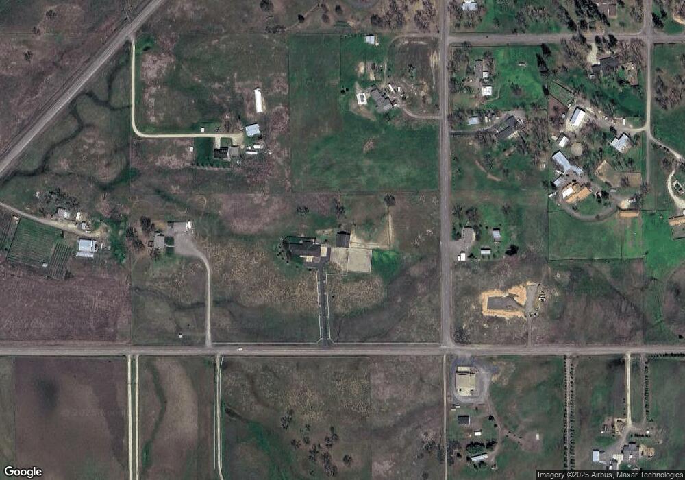
Map
Nearby Homes
- 11220 Duggan Rd
- 10695 Kildee Ave
- 10695 Killdee Ave
- 0 Perry Rd
- 13290 Table Rock Rd
- 395 Robleda Dr
- 0 Duggan Rd Unit 220198974
- 377 Pelton Ln
- 13007 Perry Rd
- 12940 Highway 234
- 12950 Highway 234
- 11322 Modoc Rd
- 13327 Highway 234
- 0 Upper River Rd Unit 2300
- 4413 Merita Terrace
- 7505 Blackwell Rd
- 1407 Upper River Rd
- 1401 Upper River Rd
- 8785 Blackwell Rd Unit North Side
- 8785 Blackwell Rd Unit South Side
- 8635 Oregon 234
- 3686 Tresham Ln
- 11110 Duggan Rd
- 11211 Duggan Rd
- 0 Tresham Ln Unit 100065719
- 0 Tresham Ln Unit 100077794
- 0 Tresham Ln Unit 102921048
- 8791 Highway 234
- 3318 Tresham Ln
- 8791 Highway 234
- 8791 Hwy 234
- 11097 Dennis Rd
- 11284 Duggan Rd
- 3100 Oregon 234
- 0 Oregon 234
- 3308 Tresham Ln
- 3792 Tresham Ln
- 11161 Dennis Rd
- 3381 McMartin Rd
- 3847 Tresham Ln
Your Personal Tour Guide
Ask me questions while you tour the home.