Estimated Value: $677,000 - $677,298
Studio
1
Bath
3,670
Sq Ft
$185/Sq Ft
Est. Value
About This Home
This home is located at 374 Opal Ln, Cairo, GA 39828 and is currently estimated at $677,149, approximately $184 per square foot. 374 Opal Ln is a home.
Ownership History
We collect this data history from publicly available records. To have your information removed, we recommend requesting removal directly through your county’s website.
Date
Name
Owned For
Owner Type
Purchase Details
Closed on
Dec 30, 1976
Bought by
Current Estimated Value
Create a Home Valuation Report for This Property
The Home Valuation Report is an in-depth analysis detailing your home's value as well as a comparison with similar homes in the area
Purchase History
We collect this data history from publicly available records. To have your information removed, we recommend requesting removal directly through your county’s website.
| Date | Buyer | Sale Price | Title Company |
|---|---|---|---|
| -- | -- |
Source: Public Records
Tax History
We collect this data history from publicly available records. To have your information removed, we recommend requesting removal directly through your county’s website.
| Year | Tax Paid | Tax Assessment Tax Assessment Total Assessment is a certain percentage of the fair market value that is determined by local assessors to be the total taxable value of land and additions on the property. | Land | Improvement |
|---|---|---|---|---|
| 2025 | $6,438 | $306,233 | $21,341 | $284,892 |
| 2024 | $6,438 | $243,541 | $21,341 | $222,200 |
| 2023 | $4,502 | $148,240 | $12,072 | $136,168 |
| 2022 | $4,502 | $148,240 | $12,072 | $136,168 |
| 2021 | $4,516 | $148,240 | $12,072 | $136,168 |
| 2020 | $4,532 | $148,240 | $12,072 | $136,168 |
| 2019 | $4,532 | $148,240 | $12,072 | $136,168 |
| 2018 | $4,254 | $77,078 | $12,072 | $65,006 |
| 2017 | $2,079 | $77,078 | $12,072 | $65,006 |
| 2016 | $1,846 | $68,293 | $12,072 | $56,222 |
| 2015 | $1,824 | $68,293 | $12,072 | $56,222 |
| 2014 | $1,826 | $68,293 | $12,072 | $56,222 |
| 2013 | -- | $70,617 | $17,366 | $53,251 |
Source: Public Records
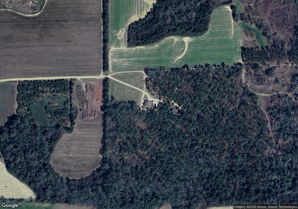
Map
Nearby Homes
- 525 Bold Springs Rd
- 161 Evergreen Ln
- 88 Ruby Ln
- 120 Blair Dr
- 130 Blair Dr
- 129 Alison Dr
- 171 Blair Dr
- 341 Temple Terrace Cir
- 3718 Pine Park Rd
- 4014 U S Hwy 84 16 Acres
- 3109 U S 84
- 3109 U S 84
- 415 Jane's Ln
- 78.6 Ac Strickland Rd
- 79 27th St NE
- 2690 U S 84
- 374 Cain Rd
- 2330 Pecan Dr
- 66 22nd St NE
- 1975 Rook Rd
- 424 Bold Springs Rd
- 00 Boldsprings Rd
- 302 Brookins Ln
- 562 Bold Springs Rd
- 4708 Us Highway 84 E
- 692 Bold Springs Rd
- 4844 Us Highway 84 E
- 539 Bold Springs Rd
- 171 Bold Springs Rd
- 110 Longleaf Ln
- 4854 Us Highway 84 E
- 607 Bold Springs Rd
- 00 Bold Springs Road (Lot 7) Unit 7
- 00 Bold Springs Road (Lot 10) Unit 10
- 00 Bold Springs Road (Lot 8) Unit 8
- 00 Bold Springs Road (Lot 11) Unit 11
- 00 Bold Springs Road (Lot 4) Unit 4
- 00 Bold Springs Road (Lot 5) Unit 5
- 1268 Moore Rd
- 4915 Us Highway 84 E
Your Personal Tour Guide
Ask me questions while you tour the home.