375 Capser Rd La Pointe, WI 54850
Estimated Value: $914,000 - $1,006,029
Studio
--
Bath
--
Sq Ft
1.34
Acres Lot
About This Home
This home is located at 375 Capser Rd, La Pointe, WI 54850 and is currently estimated at $960,015. 375 Capser Rd is a home with nearby schools including Bayfield High School.
Ownership History
Date
Name
Owned For
Owner Type
Purchase Details
Closed on
Sep 9, 2016
Sold by
Dietrich Trust
Bought by
Dalquist Henry David and Dalquist Martha Lorenz
Current Estimated Value
Purchase Details
Closed on
Oct 31, 2012
Sold by
Dietrich John C
Bought by
Dietrich John C and The John C Dietrich Revocable
Purchase Details
Closed on
May 30, 2012
Sold by
Dietrich John C and Estate Of Ann S Dietrich
Bought by
Dietrich Trust
Create a Home Valuation Report for This Property
The Home Valuation Report is an in-depth analysis detailing your home's value as well as a comparison with similar homes in the area
Purchase History
We collect this data history from publicly available records. To have your information removed, we recommend requesting removal directly through your county’s website.
| Date | Buyer | Sale Price | Title Company |
|---|---|---|---|
| Dalquist Henry David | $650,000 | Midwest Title | |
| Dietrich John C | -- | None Available | |
| Dietrich John C | -- | None Available | |
| Dietrich Trust | -- | None Available |
Source: Public Records
Tax History
| Year | Tax Paid | Tax Assessment Tax Assessment Total Assessment is a certain percentage of the fair market value that is determined by local assessors to be the total taxable value of land and additions on the property. | Land | Improvement |
|---|---|---|---|---|
| 2025 | $15,818 | $728,000 | $340,800 | $387,200 |
| 2024 | $14,988 | $728,000 | $340,800 | $387,200 |
| 2023 | $14,351 | $564,300 | $351,100 | $213,200 |
| 2022 | $13,301 | $564,300 | $351,100 | $213,200 |
| 2021 | $13,244 | $564,300 | $351,100 | $213,200 |
| 2020 | $12,890 | $564,300 | $351,100 | $213,200 |
| 2019 | $12,221 | $564,300 | $351,100 | $213,200 |
| 2018 | $10,639 | $522,600 | $351,100 | $171,500 |
| 2017 | $10,466 | $525,000 | $351,100 | $173,900 |
| 2016 | $10,676 | $534,500 | $351,100 | $183,400 |
| 2015 | $13,231 | $629,100 | $356,600 | $272,500 |
| 2014 | $12,185 | $668,700 | $396,200 | $272,500 |
| 2013 | $12,632 | $668,700 | $396,200 | $272,500 |
Source: Public Records
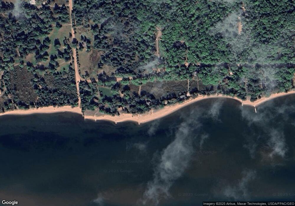
Map
Nearby Homes
- xxx Mondamin Trail
- 365 Mondamin Tr
- 657 Spruce Ln
- 440 Bojo Ln
- Lot 2, Block 2 Raspberry Trail
- Lot 3, Block 1 Raspberry Trail
- Lot 6, Block 1 Raspberry Trail
- Lot 5 Raspberry Trail
- Lot 1, Block 1 Raspberry Trail
- 668 Main St Unit 5
- 804 Middle Rd
- 939 Whitefish St
- 1117 S Shore Rd
- XXX Old San Rd Unit 12
- XXX Old San Rd Unit 11
- XXX Old San Rd Unit TBD-Farmhouse
- XXX Old San Rd Unit TBD- Woodland
- XXX Old San Rd Unit 16
- XXX Old San Rd Unit TBD-Field Pair
- 84860 Old San Rd Unit T4
Your Personal Tour Guide
Ask me questions while you tour the home.