375 Eagle Nest Rd Screven, GA 31560
Estimated Value: $201,000 - $249,000
1
Bed
1
Bath
1,708
Sq Ft
$132/Sq Ft
Est. Value
About This Home
This home is located at 375 Eagle Nest Rd, Screven, GA 31560 and is currently estimated at $225,296, approximately $131 per square foot. 375 Eagle Nest Rd is a home located in Wayne County with nearby schools including Screven Elementary School, Arthur Williams Middle School, and Wayne County High School.
Ownership History
Date
Name
Owned For
Owner Type
Purchase Details
Closed on
Sep 18, 2019
Sold by
Fazio Dina
Bought by
Smith Betty S
Current Estimated Value
Purchase Details
Closed on
Mar 12, 2014
Sold by
Davis Reid B
Bought by
Davis Reid B
Purchase Details
Closed on
Jan 31, 2014
Sold by
Davis Reid
Bought by
Davis Reid B
Purchase Details
Closed on
Jan 1, 1996
Sold by
Mask Ellis E
Bought by
Davis Reid B
Purchase Details
Closed on
May 1, 1977
Bought by
Mask Ellis E
Purchase Details
Closed on
Dec 1, 1976
Create a Home Valuation Report for This Property
The Home Valuation Report is an in-depth analysis detailing your home's value as well as a comparison with similar homes in the area
Purchase History
| Date | Buyer | Sale Price | Title Company |
|---|---|---|---|
| Smith Betty S | -- | -- | |
| Davis Reid B | -- | -- | |
| Davis Reid B | -- | -- | |
| Davis Reid B | $1,000 | -- | |
| Mask Ellis E | -- | -- | |
| Ijl Inc | -- | -- | |
| -- | -- | -- |
Source: Public Records
Tax History
| Year | Tax Paid | Tax Assessment Tax Assessment Total Assessment is a certain percentage of the fair market value that is determined by local assessors to be the total taxable value of land and additions on the property. | Land | Improvement |
|---|---|---|---|---|
| 2025 | $842 | $69,538 | $8,454 | $61,084 |
| 2024 | $765 | $67,596 | $8,454 | $59,142 |
| 2023 | $505 | $60,658 | $8,454 | $52,204 |
| 2022 | $686 | $50,945 | $8,454 | $42,491 |
| 2021 | $658 | $45,501 | $8,454 | $37,047 |
| 2020 | $728 | $48,005 | $10,958 | $37,047 |
| 2019 | $1,545 | $48,005 | $10,958 | $37,047 |
| 2018 | $771 | $48,005 | $10,958 | $37,047 |
| 2017 | $556 | $48,005 | $10,958 | $37,047 |
| 2016 | $513 | $48,005 | $10,958 | $37,047 |
| 2014 | $482 | $45,540 | $8,813 | $36,727 |
| 2013 | -- | $45,540 | $8,813 | $36,727 |
Source: Public Records
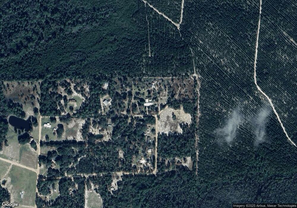
Map
Nearby Homes
- 79 Tula Ln
- 391 S Forks Rd
- 109 Joyner St
- 868 Broadhurst Rd W
- 307 Blocker St
- 6940 Oak Crossing Rd
- 102 Highsmith Ave
- 0 Dale Mill Rd
- 12 W Kallio St
- 59 Enoch Moody Rd
- 6193 Offerman Loop
- 9009 Waycross Hwy
- 6005 Chancey Rd
- TRACT 2 Loggan Ln
- TRACT 1 Loggan Ln
- 0 Rogers Break Unit 1656131
- 599 Ed Harrell Rd
- 6911 Old Hortense Rd
- 2114 Mill Creek Rd
- 4106 Old Screven Rd
Your Personal Tour Guide
Ask me questions while you tour the home.