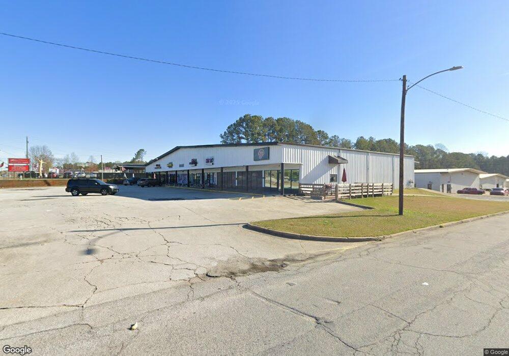
376 Maxham Rd Unit D-F Austell, GA 30168
Estimated Value: $3,663,139
Studio
--
Bath
14,400
Sq Ft
$254/Sq Ft
Est. Value
About This Home
This home is located at 376 Maxham Rd Unit D-F, Austell, GA 30168 and is currently estimated at $3,663,139, approximately $254 per square foot. 376 Maxham Rd Unit D-F is a home located in Douglas County with nearby schools including Annette Winn Elementary School, Turner Middle School, and Lithia Springs Comprehensive High School.
Ownership History
Date
Name
Owned For
Owner Type
Purchase Details
Closed on
Mar 27, 2025
Sold by
Ducasse Paul Roger
Bought by
Puckett Ducasse Valerie
Current Estimated Value
Purchase Details
Closed on
Jul 12, 2023
Sold by
Cecil Lawrence Inc
Bought by
Lawrence Investments And Holdings Llc
Purchase Details
Closed on
Feb 2, 2016
Sold by
Rene Castor Investments Llc
Bought by
The Cecil Lawrence Grp Llc
Purchase Details
Closed on
Nov 6, 2012
Sold by
Lawrence Construction & In
Bought by
Rene Castor Invesments Llc
Home Financials for this Owner
Home Financials are based on the most recent Mortgage that was taken out on this home.
Original Mortgage
$950,000
Interest Rate
3.43%
Mortgage Type
Commercial
Create a Home Valuation Report for This Property
The Home Valuation Report is an in-depth analysis detailing your home's value as well as a comparison with similar homes in the area
Home Values in the Area
Average Home Value in this Area
Purchase History
| Date | Buyer | Sale Price | Title Company |
|---|---|---|---|
| Puckett Ducasse Valerie | -- | None Listed On Document | |
| Puckett Ducasse Valerie | -- | None Listed On Document | |
| Lawrence Investments And Holdings Llc | -- | None Listed On Document | |
| The Cecil Lawrence Grp Llc | $931,199 | -- | |
| Rene Castor Invesments Llc | $1,000,000 | -- |
Source: Public Records
Mortgage History
| Date | Status | Borrower | Loan Amount |
|---|---|---|---|
| Previous Owner | Rene Castor Invesments Llc | $950,000 |
Source: Public Records
Tax History
| Year | Tax Paid | Tax Assessment Tax Assessment Total Assessment is a certain percentage of the fair market value that is determined by local assessors to be the total taxable value of land and additions on the property. | Land | Improvement |
|---|---|---|---|---|
| 2025 | $17,695 | $552,960 | $64,160 | $488,800 |
| 2024 | $17,723 | $552,960 | $64,160 | $488,800 |
| 2023 | $17,723 | $552,960 | $64,160 | $488,800 |
| 2022 | $18,331 | $247,960 | $64,120 | $183,840 |
| 2021 | $9,508 | $281,560 | $64,120 | $217,440 |
| 2020 | $9,617 | $281,560 | $64,120 | $217,440 |
| 2019 | $8,854 | $276,920 | $64,120 | $212,800 |
| 2018 | $8,692 | $270,360 | $64,120 | $206,240 |
Source: Public Records
Map
Nearby Homes
- 0 Maxham Rd Unit 10652291
- 6488 Drake Manor
- 6496 Drake Manor
- 1961 Abbey Province
- 2414 Old Alabama Rd
- 1972 Cox Dr Unit 5
- 6718 Roscommon Dr
- 1920 Silver Creek Dr Unit 4
- 110 Creekway Dr
- 1151 S Gordon Rd
- 6182 Grove Crest Way Unit 3
- 6083 Oak Hill Dr
- 1138 Pontiac Cir
- 1138 Pontiac Cir Unit 23
- 6563 Brandemere Way
- 1792 Gold Finch Way
- 232 Thornton Rd
- 6445 Sherwood Trail
- 6595 Malvin Dr
- 1370 Elowen Dr
- 350 Maxham Rd
- 384 Maxham Rd
- 1340 Pritchett Industrial Blvd
- 260 Maxham Rd
- 392 Maxham Rd
- 237 Maxham Rd
- 235 Maxham Rd
- 1375 Pritchett Industrial Blvd
- 250 Maxham Rd
- 1356 Pritchett Industrial Blvd
- 1365 Pritchett Industrial Blvd
- 3074 Emery Cir
- 6440 Timothy Ln
- 6430 Timothy Ln
- 6449 Timothy Ln
- 99 Creekside Cir
- 99 Creekside Cir
- 6439 Timothy Ln
- 3097 Emery Cir
- 6420 Timothy Ln
Your Personal Tour Guide
Ask me questions while you tour the home.