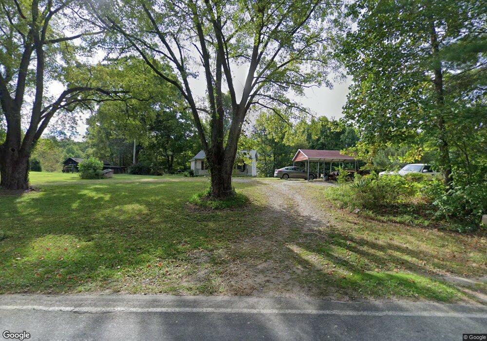
3769 Haystack Rd Mount Airy, NC 27030
Estimated Value: $145,000 - $184,000
2
Beds
1
Bath
856
Sq Ft
$193/Sq Ft
Est. Value
About This Home
This home is located at 3769 Haystack Rd, Mount Airy, NC 27030 and is currently estimated at $164,813, approximately $192 per square foot. 3769 Haystack Rd is a home with nearby schools including Cedar Ridge Elementary School, J. Sam Gentry Middle School, and North Surry High School.
Ownership History
Date
Name
Owned For
Owner Type
Purchase Details
Closed on
Feb 19, 2008
Sold by
Goings Clark G and Goings Mark M
Bought by
Latza Eric Michael
Current Estimated Value
Home Financials for this Owner
Home Financials are based on the most recent Mortgage that was taken out on this home.
Original Mortgage
$98,657
Outstanding Balance
$59,682
Interest Rate
5.46%
Mortgage Type
New Conventional
Estimated Equity
$105,131
Purchase Details
Closed on
May 1, 1999
Purchase Details
Closed on
Mar 1, 1992
Purchase Details
Closed on
Nov 1, 1988
Create a Home Valuation Report for This Property
The Home Valuation Report is an in-depth analysis detailing your home's value as well as a comparison with similar homes in the area
Purchase History
| Date | Buyer | Sale Price | Title Company |
|---|---|---|---|
| Latza Eric Michael | $104,000 | None Available | |
| -- | $57,000 | -- | |
| -- | $54,000 | -- | |
| -- | $40,000 | -- |
Source: Public Records
Mortgage History
| Date | Status | Borrower | Loan Amount |
|---|---|---|---|
| Open | Latza Eric Michael | $98,657 |
Source: Public Records
Tax History
| Year | Tax Paid | Tax Assessment Tax Assessment Total Assessment is a certain percentage of the fair market value that is determined by local assessors to be the total taxable value of land and additions on the property. | Land | Improvement |
|---|---|---|---|---|
| 2025 | $479 | $107,000 | $59,840 | $47,160 |
| 2024 | $656 | $93,100 | $51,680 | $41,420 |
| 2023 | $646 | $93,100 | $51,680 | $41,420 |
| 2022 | $646 | $93,100 | $51,680 | $41,420 |
| 2021 | $656 | $93,100 | $51,680 | $41,420 |
| 2020 | $629 | $85,680 | $47,600 | $38,080 |
| 2019 | $626 | $85,680 | $0 | $0 |
| 2018 | $616 | $85,680 | $0 | $0 |
| 2017 | $612 | $85,680 | $0 | $0 |
| 2016 | $606 | $85,680 | $0 | $0 |
| 2013 | -- | $82,860 | $0 | $0 |
Source: Public Records
Map
Nearby Homes
- 3354 Haystack Rd
- 4 Haystack Rd
- 0 Fisher Valley Rd
- 6222 W Pine St
- 543 Fisher Valley Rd
- Lot 15 Fisher Valley Rd
- Lot 14 Fisher Valley Rd
- Lot 13 Fisher Valley Rd
- Lot 9 Fisher Valley Rd
- Lot 11 Fisher Valley Rd
- Lot 12 Fisher Valley Rd
- Lot 10 Fisher Valley Rd
- 17.96 Acres Aubrey Thomas Ln
- 397 Prison Camp Rd
- 000 Big Rock Ln
- 000 Crossroads Church Rd
- 180 Cedar Lake Trail
- 213 Judsville School Rd
- 146 Ringwood Dr
- 112 Hardwick Ln
- 3732 Haystack Rd
- 192 New Life Church Rd
- 119 New Life Church Rd
- 173 New Life Church Rd
- 3752 Haystack Rd
- 00 New Life Church Rd
- 153 Laken Jade Ln
- 3858 Haystack Rd
- M/M Jade
- 180 Fox Hunter Trail
- 168 Jefferson Ln
- 136 Isaacs Rd
- 3525 Haystack Rd
- 242 Bethany Farm Trail
- 3562 Haystack Rd
- 335 Sid Hodges Ln
- 201 Davis Rd
- 842 Woltz Atkins Rd
- 173 Davis Rd
- 113 Sid Hodges Ln
Your Personal Tour Guide
Ask me questions while you tour the home.