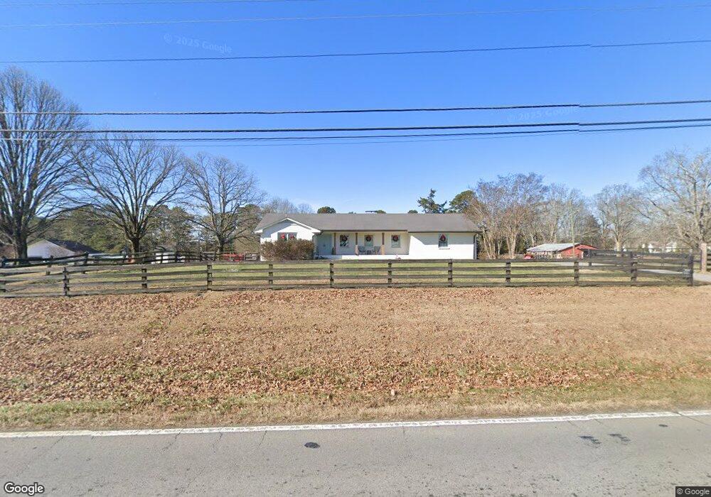
3774 Ridge Rd Buford, GA 30519
Estimated Value: $388,000 - $478,000
3
Beds
2
Baths
2,070
Sq Ft
$203/Sq Ft
Est. Value
About This Home
This home is located at 3774 Ridge Rd, Buford, GA 30519 and is currently estimated at $420,709, approximately $203 per square foot. 3774 Ridge Rd is a home located in Gwinnett County with nearby schools including Ivy Creek Elementary School and Glenn C. Jones Middle School.
Ownership History
Date
Name
Owned For
Owner Type
Purchase Details
Closed on
May 21, 2004
Sold by
Elinburg Holdsing Lllp
Bought by
Swanson Mark A
Current Estimated Value
Purchase Details
Closed on
Oct 24, 2003
Sold by
Elinburg Holdings Lllp
Bought by
Swanson Mark A
Home Financials for this Owner
Home Financials are based on the most recent Mortgage that was taken out on this home.
Original Mortgage
$100,000
Interest Rate
6.03%
Mortgage Type
New Conventional
Purchase Details
Closed on
May 30, 2000
Sold by
Elinburg William A
Bought by
Elinburg Holdings Lllp
Create a Home Valuation Report for This Property
The Home Valuation Report is an in-depth analysis detailing your home's value as well as a comparison with similar homes in the area
Home Values in the Area
Average Home Value in this Area
Purchase History
| Date | Buyer | Sale Price | Title Company |
|---|---|---|---|
| Swanson Mark A | -- | -- | |
| Swanson Mark A | $145,100 | -- | |
| Elinburg Holdings Lllp | $148,300 | -- |
Source: Public Records
Mortgage History
| Date | Status | Borrower | Loan Amount |
|---|---|---|---|
| Previous Owner | Swanson Mark A | $100,000 |
Source: Public Records
Tax History
| Year | Tax Paid | Tax Assessment Tax Assessment Total Assessment is a certain percentage of the fair market value that is determined by local assessors to be the total taxable value of land and additions on the property. | Land | Improvement |
|---|---|---|---|---|
| 2025 | $3,447 | $109,160 | $46,680 | $62,480 |
| 2024 | $3,481 | $109,160 | $46,680 | $62,480 |
| 2023 | $3,481 | $109,160 | $46,680 | $62,480 |
| 2022 | $3,195 | $93,920 | $27,240 | $66,680 |
| 2021 | $3,235 | $93,920 | $27,240 | $66,680 |
| 2020 | $2,593 | $97,360 | $27,240 | $70,120 |
| 2019 | $2,501 | $62,960 | $19,240 | $43,720 |
| 2018 | $2,501 | $62,960 | $19,240 | $43,720 |
| 2016 | $2,308 | $56,920 | $19,240 | $37,680 |
| 2015 | $2,335 | $56,920 | $19,240 | $37,680 |
| 2014 | $1,776 | $40,920 | $15,160 | $25,760 |
Source: Public Records
Map
Nearby Homes
- 3530 Rivers End Place
- 3431 Blaisdell Rd
- 3680 Ridge Rd
- 3311 Burkston Place
- 3391 Burkston Place
- 4034 Dantry Ln
- 4044 Dantry Ln
- 3337 Hinsdale Ln
- 2408 Morgan Creek Rd
- 3184 English Ivy Ln
- 3307 Hinsdale Ln Unit 2
- 3629 Elinburg Ct
- 3675 Ridgehurst Ln
- 3075 Andover Trail
- 3586 Andover Way
- 3601 Telhurst Ln
- 3761 Andover Way
- 3160 Andover Trail
- 3421 Lindenridge Dr
- 3411 Lindenridge Dr
- 3754 Ridge Rd
- 3774 Thompson Mill Rd
- 3814 Thompson Mill Rd
- 3824 Thompson Mill Rd
- 3797 Thompson Mill Rd
- 3830 Thompson Mill Rd
- 3787 Thompson
- 3787 Thompson Mill Rd
- 3585 Rivers End Place
- 3575 Rivers End Place
- 3715 Ridge Rd
- 3595 Rivers End Place
- 3565 Rivers End Place
- 3777 Thompson Mill Rd
- 3813 Ridge Rd
- 3560 Deaton Trail
- 3555 Rivers End Place Unit 33
- 3555 Rivers End Place Unit I
- 3761 Thompson Mill Rd
- 3550 Deaton Trail
Your Personal Tour Guide
Ask me questions while you tour the home.