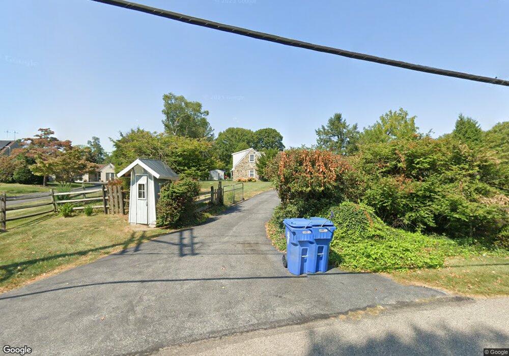
378 Lenni Rd Aston, PA 19014
Estimated Value: $570,000 - $781,000
3
Beds
2
Baths
2,424
Sq Ft
$286/Sq Ft
Est. Value
About This Home
This home is located at 378 Lenni Rd, Aston, PA 19014 and is currently estimated at $693,295, approximately $286 per square foot. 378 Lenni Rd is a home located in Delaware County with nearby schools including Garnet Valley High School and St. Thomas Apostle School.
Ownership History
Date
Name
Owned For
Owner Type
Purchase Details
Closed on
May 21, 2016
Sold by
Pascale Jeffrey and Pascale Jeffrey David
Bought by
Pascale Jeffrey David and Pascale Linda Amy
Current Estimated Value
Purchase Details
Closed on
Sep 1, 2005
Sold by
Silling Cyrus E
Bought by
Pascale Jeffrey
Home Financials for this Owner
Home Financials are based on the most recent Mortgage that was taken out on this home.
Original Mortgage
$205,400
Outstanding Balance
$109,613
Interest Rate
5.81%
Mortgage Type
Fannie Mae Freddie Mac
Estimated Equity
$583,682
Create a Home Valuation Report for This Property
The Home Valuation Report is an in-depth analysis detailing your home's value as well as a comparison with similar homes in the area
Home Values in the Area
Average Home Value in this Area
Purchase History
| Date | Buyer | Sale Price | Title Company |
|---|---|---|---|
| Pascale Jeffrey David | -- | Attorney | |
| Pascale Jeffrey | $256,750 | Pennsylvania Land Transfer C |
Source: Public Records
Mortgage History
| Date | Status | Borrower | Loan Amount |
|---|---|---|---|
| Open | Pascale Jeffrey | $205,400 |
Source: Public Records
Tax History
| Year | Tax Paid | Tax Assessment Tax Assessment Total Assessment is a certain percentage of the fair market value that is determined by local assessors to be the total taxable value of land and additions on the property. | Land | Improvement |
|---|---|---|---|---|
| 2025 | $10,072 | $443,540 | $127,300 | $316,240 |
| 2024 | $10,072 | $443,540 | $127,300 | $316,240 |
| 2023 | $9,832 | $443,540 | $127,300 | $316,240 |
| 2022 | $9,678 | $443,540 | $127,300 | $316,240 |
| 2021 | $16,314 | $443,540 | $127,300 | $316,240 |
| 2020 | $9,307 | $236,310 | $56,430 | $179,880 |
| 2019 | $9,176 | $236,310 | $56,430 | $179,880 |
| 2018 | $9,058 | $236,310 | $0 | $0 |
| 2017 | $8,882 | $236,310 | $0 | $0 |
| 2016 | $1,297 | $236,310 | $0 | $0 |
| 2015 | $1,297 | $236,310 | $0 | $0 |
| 2014 | $1,297 | $236,310 | $0 | $0 |
Source: Public Records
Map
Nearby Homes
- 239 Spring Valley Way
- 239 Bishop Dr
- 346 Lenni Rd
- 40 New Rd
- 411 Highgrove Ln
- 39 Hoag Ln
- 36 Hoag Ln
- 198 Bishop Dr Unit 175
- 3701 Mount Rd
- 746 Switchman Rd
- 810 Maple Ln
- 94 Victoria Dr
- 4301 Aston Mills Rd
- 624 Convent Rd
- 66 Ivy Ln
- 501 Cory Ln
- 11 Victoria Dr
- 263 Lenni Rd
- 182 Nottingham Ct
- 150 Nottingham Ct
- 382 Lenni Rd
- 360 Lenni Rd
- 386 Lenni Rd
- 362 Lenni Rd
- 384 Lenni Rd Unit 3
- 2440 Lenni Rd
- 1510 Hillcrest Ln
- 394 Lenni Rd
- 356 Lenni Rd
- 2800 Lenni Rd
- 2350 Lenni Rd
- 1550 Hillcrest Ln
- 1525 Hillcrest Ln
- 1570 Highpoint Ln
- 11 Wilson Cir
- 350 Lenni Rd
- 348 Lenni Rd
- 1560 Hillcrest Ln
- 1 Rolling Heights Ln
- 5 Rolling Heights Ln
Your Personal Tour Guide
Ask me questions while you tour the home.