3785 County Road 53 Mc Comb, OH 45858
McComb NeighborhoodEstimated Value: $356,000 - $401,000
4
Beds
2
Baths
2,594
Sq Ft
$146/Sq Ft
Est. Value
About This Home
This home is located at 3785 County Road 53, Mc Comb, OH 45858 and is currently estimated at $378,386, approximately $145 per square foot. 3785 County Road 53 is a home located in Hancock County with nearby schools including McComb Elementary School, McComb Middle School, and Mccomb Local High School.
Ownership History
Date
Name
Owned For
Owner Type
Purchase Details
Closed on
Oct 23, 2023
Sold by
Five Star Family Farms Llc
Bought by
Rader David K
Current Estimated Value
Purchase Details
Closed on
Oct 3, 2023
Sold by
Rader David K
Bought by
Rader David K and Rader Jacquelyn J
Purchase Details
Closed on
Jul 27, 2022
Sold by
Rader David K and Rader Jacquelyn J
Bought by
Rader David K and Rader Jacquelyn J
Purchase Details
Closed on
Dec 28, 1982
Bought by
Rader David K and Rader Jacquelyn
Create a Home Valuation Report for This Property
The Home Valuation Report is an in-depth analysis detailing your home's value as well as a comparison with similar homes in the area
Home Values in the Area
Average Home Value in this Area
Purchase History
| Date | Buyer | Sale Price | Title Company |
|---|---|---|---|
| Rader David K | -- | None Listed On Document | |
| Rader David K | -- | None Listed On Document | |
| Rader David K | -- | None Listed On Document | |
| Rader David K | -- | -- |
Source: Public Records
Tax History
| Year | Tax Paid | Tax Assessment Tax Assessment Total Assessment is a certain percentage of the fair market value that is determined by local assessors to be the total taxable value of land and additions on the property. | Land | Improvement |
|---|---|---|---|---|
| 2024 | $3,602 | $108,790 | $9,900 | $98,890 |
| 2023 | $3,579 | $108,790 | $9,900 | $98,890 |
| 2022 | $3,670 | $108,790 | $9,900 | $98,890 |
| 2021 | $3,422 | $89,810 | $9,820 | $79,990 |
| 2020 | $3,420 | $89,810 | $9,820 | $79,990 |
| 2019 | $3,260 | $89,810 | $9,820 | $79,990 |
| 2018 | $2,802 | $81,390 | $8,540 | $72,850 |
| 2017 | $1,410 | $81,390 | $8,540 | $72,850 |
| 2016 | $2,614 | $81,390 | $8,540 | $72,850 |
| 2015 | $2,384 | $73,270 | $8,540 | $64,730 |
| 2014 | $2,312 | $71,070 | $8,540 | $62,530 |
| 2012 | $2,480 | $71,070 | $8,540 | $62,530 |
Source: Public Records
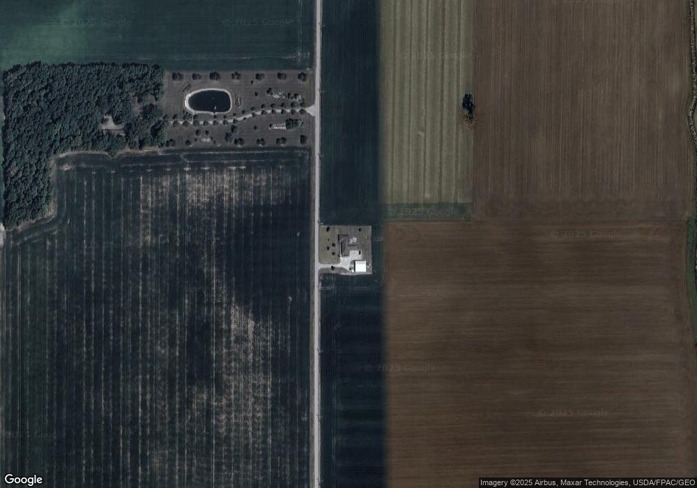
Map
Nearby Homes
- 223 Cherry St
- 4134 County Road 203
- 128 S Liberty St
- 131 E South St
- 203 E Perrin Ave
- 4609 Township Road 235
- 257 S Main St
- 3470 Ohio 235
- 3111 Township Road 93
- 7514 Township Road 95
- 0 Deshler Rd Unit 309-2100
- 2970 Otsego Pike
- 0 Hockenberry Rd Unit 10
- 423 S Stearns Ave
- 407 S Stearns Ave
- 424 E Main St
- 4014 County Road 139
- 524 E Elm St
- 604 Prospect St
- 126 S Keyser Ave
Your Personal Tour Guide
Ask me questions while you tour the home.