3789 Hibanks Rd Unit 3 Conover, WI 54519
Estimated Value: $207,000 - $472,000
Studio
--
Bath
--
Sq Ft
--
Built
About This Home
This home is located at 3789 Hibanks Rd Unit 3, Conover, WI 54519 and is currently estimated at $328,033. 3789 Hibanks Rd Unit 3 is a home located in Vilas County with nearby schools including Northland Pines High School.
Ownership History
Date
Name
Owned For
Owner Type
Purchase Details
Closed on
Dec 9, 2021
Sold by
Frederking Ronald K and Frederking Janis C
Bought by
Carpenter Scott and Carpenter Gina
Current Estimated Value
Home Financials for this Owner
Home Financials are based on the most recent Mortgage that was taken out on this home.
Original Mortgage
$209,250
Outstanding Balance
$190,550
Interest Rate
3.14%
Mortgage Type
New Conventional
Estimated Equity
$137,483
Purchase Details
Closed on
Jul 8, 2014
Sold by
Frederking Ryan and Frederking Kimberly
Bought by
Frederking Ronald K and Frederking Janis C
Purchase Details
Closed on
Aug 7, 2006
Sold by
Revocabltrust Ronald K and Revocabltrust Janis C Frederking
Bought by
Erederking Ryan J and Erederking Kimberly M
Create a Home Valuation Report for This Property
The Home Valuation Report is an in-depth analysis detailing your home's value as well as a comparison with similar homes in the area
Purchase History
| Date | Buyer | Sale Price | Title Company |
|---|---|---|---|
| Carpenter Scott | $279,000 | Vilas Title Service Inc | |
| Frederking Ronald K | $100,000 | None Available | |
| Erederking Ryan J | $100,000 | -- |
Source: Public Records
Mortgage History
| Date | Status | Borrower | Loan Amount |
|---|---|---|---|
| Open | Carpenter Scott | $209,250 |
Source: Public Records
Tax History
| Year | Tax Paid | Tax Assessment Tax Assessment Total Assessment is a certain percentage of the fair market value that is determined by local assessors to be the total taxable value of land and additions on the property. | Land | Improvement |
|---|---|---|---|---|
| 2025 | $1,899 | $214,100 | $91,100 | $123,000 |
| 2024 | $1,898 | $214,100 | $91,100 | $123,000 |
| 2023 | $1,995 | $214,100 | $91,100 | $123,000 |
| 2022 | $1,822 | $214,100 | $91,100 | $123,000 |
| 2021 | $1,664 | $166,800 | $77,100 | $89,700 |
| 2020 | $1,648 | $166,800 | $77,100 | $89,700 |
| 2019 | $1,638 | $166,800 | $77,100 | $89,700 |
| 2018 | $1,538 | $166,800 | $77,100 | $89,700 |
| 2017 | $1,549 | $166,800 | $77,100 | $89,700 |
| 2016 | $1,570 | $166,800 | $77,100 | $89,700 |
| 2015 | $1,552 | $166,800 | $77,100 | $89,700 |
| 2014 | $1,485 | $166,800 | $77,100 | $89,700 |
| 2013 | $1,684 | $166,800 | $77,100 | $89,700 |
Source: Public Records
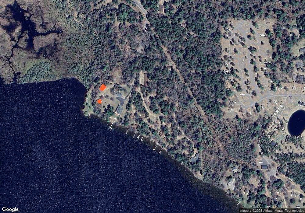
Map
Nearby Homes
- 5585 Spruce Rd
- 3459 Kohn Rd
- 4186 Hegemann Rd
- 3459 Koh Rd
- ON Heart Lake Rd
- 2681 Bullseye Ln
- 2471 Croker Ln
- 5860 Boot Lake Rd
- 4641 Lake Hills Landing Rd
- 4311 Cth K E
- Lot 5 Dad's Lake Rd
- Lot 4 Dad's Lake Rd
- Lot 6 Dad's Lake Rd
- Lot 2 Dad's Lake Rd
- 7299 Dads Lake Rd
- 2133 Lofty Pines Ln
- 4375 Hwy 17 Unit 3
- 4375 Hwy 17 Unit 1
- 4375 Hwy 17 Unit 2
- 80AC off Razorback Rd
- 3789 Hibanks Rd Unit 9
- 3789 Hibanks Rd Unit 8
- 3789 Hibanks Rd Unit 7
- 3789 Hibanks Rd Unit 6
- 3789 Hibanks Rd Unit 5
- 3789 Hibanks Rd Unit 4
- 3789 Hibanks Rd Unit 2
- 3789 Hibanks Rd Unit 1
- 3769 Hibanks Rd Unit 3
- 3765 Hibanks Rd
- 3763 Hibanks Rd Unit 6
- 3791 Hibanks Rd
- 3795 Hibanks Rd
- 5671 Irish Musky Dr
- 5671 Irish Musky Dr
- 5671 Irish Musky Dr
- 5671 Irish Musky Dr
- 5720 Irish Musky Dr
- 5660 Rush Rd
- 3820 Hibanks Rd
Your Personal Tour Guide
Ask me questions while you tour the home.