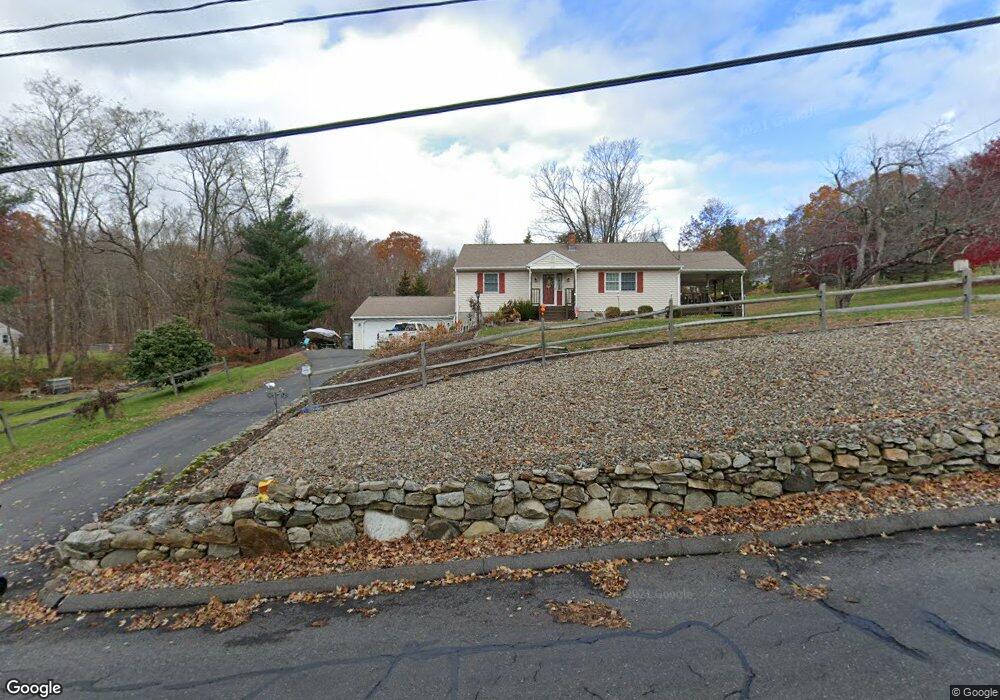
379 Webb Rd Naugatuck, CT 06770
Estimated Value: $349,000 - $385,000
2
Beds
2
Baths
1,232
Sq Ft
$300/Sq Ft
Est. Value
About This Home
This home is located at 379 Webb Rd, Naugatuck, CT 06770 and is currently estimated at $368,997, approximately $299 per square foot. 379 Webb Rd is a home located in New Haven County with nearby schools including City Hill Middle School, Naugatuck High School, and Our Lady Of Mount Carmel School.
Ownership History
Date
Name
Owned For
Owner Type
Purchase Details
Closed on
Aug 14, 2018
Sold by
Anderson Judith
Bought by
Garbauskas Keith and Shea Shannon
Current Estimated Value
Home Financials for this Owner
Home Financials are based on the most recent Mortgage that was taken out on this home.
Original Mortgage
$199,500
Outstanding Balance
$173,258
Interest Rate
4.5%
Mortgage Type
New Conventional
Estimated Equity
$195,739
Purchase Details
Closed on
Nov 9, 1972
Bought by
Anderson Norman D and Anderson Judith O
Create a Home Valuation Report for This Property
The Home Valuation Report is an in-depth analysis detailing your home's value as well as a comparison with similar homes in the area
Home Values in the Area
Average Home Value in this Area
Purchase History
| Date | Buyer | Sale Price | Title Company |
|---|---|---|---|
| Garbauskas Keith | $210,000 | -- | |
| Anderson Norman D | -- | -- |
Source: Public Records
Mortgage History
| Date | Status | Borrower | Loan Amount |
|---|---|---|---|
| Open | Anderson Norman D | $199,500 | |
| Previous Owner | Anderson Norman D | $50,000 |
Source: Public Records
Tax History
| Year | Tax Paid | Tax Assessment Tax Assessment Total Assessment is a certain percentage of the fair market value that is determined by local assessors to be the total taxable value of land and additions on the property. | Land | Improvement |
|---|---|---|---|---|
| 2025 | $7,738 | $194,460 | $42,910 | $151,550 |
| 2024 | $8,126 | $194,460 | $42,910 | $151,550 |
| 2023 | $8,702 | $194,460 | $42,910 | $151,550 |
| 2022 | $6,385 | $133,710 | $45,410 | $88,300 |
| 2021 | $6,385 | $133,710 | $45,410 | $88,300 |
| 2020 | $6,385 | $133,710 | $45,410 | $88,300 |
| 2019 | $6,318 | $133,710 | $45,410 | $88,300 |
| 2018 | $6,244 | $129,150 | $57,430 | $71,720 |
| 2017 | $6,270 | $129,150 | $57,430 | $71,720 |
| 2016 | $6,157 | $129,150 | $57,430 | $71,720 |
| 2015 | $5,885 | $129,150 | $57,430 | $71,720 |
| 2014 | $5,819 | $129,150 | $57,430 | $71,720 |
| 2012 | $6,035 | $179,880 | $68,660 | $111,220 |
Source: Public Records
Map
Nearby Homes
- 0 Westover Dr
- 57 Mistywood Ln
- 671 Rubber Ave
- 54 Bridle Trail Dr
- 233 Conrad St
- 36 Stoneybrook Rd
- 18 Freedom Rd
- 28 Tower Ln
- 18 Partridgetown Rd
- 51 Joseph Rd
- 25 Joseph Rd
- 92 Birch Ln
- 309 N Hoadley St
- 775 South St Unit 777
- 61 Sandy Hill Rd
- 146 Coach Cir Unit 3
- 167 N Hoadley St
- 61 Clearview Cir
- 16 Phyllis Dr
- 470 Rubber Ave
- 389 Webb Rd
- 11 Westover Dr
- 5 Westover Dr
- 24 Westover Dr
- 17 Westover Dr
- 29 Graham Ridge Rd
- 26 Graham Ridge Rd
- 11 Graham Ridge Rd
- 399 Webb Rd
- 37 Graham Ridge Rd
- Lot 17 Graham Ridge Rd
- LOT 17 Graham Ridge
- 150 Krodel Rd
- 61 Graham Ridge Rd
- 45 Graham Ridge Rd
- 0 Webb Rd Unit 99170495
- 0 Webb Rd Unit W1044855
- 0 Webb Rd Unit W1058449
- 0 Webb Rd Unit W1062743
Your Personal Tour Guide
Ask me questions while you tour the home.