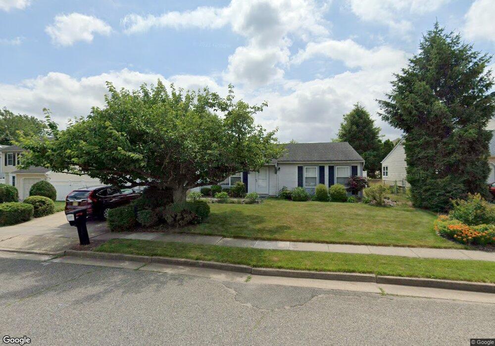
38 Azalea Dr Edison, NJ 08820
Estimated Value: $658,604 - $904,000
Studio
--
Bath
1,782
Sq Ft
$440/Sq Ft
Est. Value
About This Home
This home is located at 38 Azalea Dr, Edison, NJ 08820 and is currently estimated at $783,901, approximately $439 per square foot. 38 Azalea Dr is a home located in Middlesex County with nearby schools including James Madison Primary School, James Madison Intermediate School, and John Adams Middle School.
Ownership History
Date
Name
Owned For
Owner Type
Purchase Details
Closed on
May 31, 2001
Sold by
Wang Jyh
Bought by
Mohammad Ashraf and Ashraf Shaheen
Current Estimated Value
Home Financials for this Owner
Home Financials are based on the most recent Mortgage that was taken out on this home.
Original Mortgage
$196,000
Outstanding Balance
$74,660
Interest Rate
7.14%
Estimated Equity
$709,241
Purchase Details
Closed on
Oct 17, 1995
Sold by
Jou Jin Yang
Bought by
Wang Jyh Ming and Chenlin Li
Create a Home Valuation Report for This Property
The Home Valuation Report is an in-depth analysis detailing your home's value as well as a comparison with similar homes in the area
Home Values in the Area
Average Home Value in this Area
Purchase History
We collect this data history from publicly available records. To have your information removed, we recommend requesting removal directly through your county’s website.
| Date | Buyer | Sale Price | Title Company |
|---|---|---|---|
| Mohammad Ashraf | $245,000 | -- | |
| Wang Jyh Ming | $186,500 | -- |
Source: Public Records
Mortgage History
We collect this data history from publicly available records. To have your information removed, we recommend requesting removal directly through your county’s website.
| Date | Status | Borrower | Loan Amount |
|---|---|---|---|
| Open | Mohammad Ashraf | $196,000 |
Source: Public Records
Tax History
| Year | Tax Paid | Tax Assessment Tax Assessment Total Assessment is a certain percentage of the fair market value that is determined by local assessors to be the total taxable value of land and additions on the property. | Land | Improvement |
|---|---|---|---|---|
| 2025 | $11,960 | $200,900 | $97,500 | $103,400 |
| 2024 | $11,895 | $200,900 | $97,500 | $103,400 |
| 2023 | $11,895 | $200,900 | $97,500 | $103,400 |
| 2022 | $11,899 | $200,900 | $97,500 | $103,400 |
| 2021 | $11,417 | $200,900 | $97,500 | $103,400 |
| 2020 | $11,751 | $200,900 | $97,500 | $103,400 |
| 2019 | $10,865 | $200,900 | $97,500 | $103,400 |
| 2018 | $11,033 | $200,900 | $97,500 | $103,400 |
| 2017 | $10,800 | $200,900 | $97,500 | $103,400 |
| 2016 | $10,158 | $200,900 | $97,500 | $103,400 |
| 2015 | $9,772 | $200,900 | $97,500 | $103,400 |
| 2014 | $9,495 | $200,900 | $97,500 | $103,400 |
Source: Public Records
Map
Nearby Homes
- 22 Ellison Ave
- 1 Wakefield Dr
- 903 Maplecrest Rd
- 7 Oberlin Ct
- 1402 Maplecrest Rd
- 7 Lily Ct
- 5 Lily Ct
- 2904 Stonehedge Rd
- 24 Sandalwood Dr
- 4807 Stonehedge Rd
- 16 Moyse Place
- 9 Stratford Cir
- 275 Alden Ave
- 516 Westgate Dr
- 6 Banyan Ct
- 106 Westgate Dr
- 524 Westgate Dr
- 197 Westgate Dr Unit 197
- 496 Westgate Dr
- 18 Westgate Dr
- 36 Azalea Dr
- 40 Azalea Dr
- 32 Wintergreen Ave E
- 4 Periwinkle Ln
- 1 Heather Dr
- 1 Daphne Ct
- 3 Heather Dr
- 26 Wintergreen Ave E
- 26 Wintergreen Ave E Unit n/a
- 6 Periwinkle Ln
- 2 Daphne Ct
- 3 Daphne Ct
- 24 Wintergreen Ave E
- 31 Wintergreen Ave E
- 27 Wintergreen Ave E
- 33 Wintergreen Ave E
- 34 Wintergreen Ave E
- 3 Periwinkle Ln
- 22 Wintergreen Ave E
- 25 Wintergreen Ave E
Your Personal Tour Guide
Ask me questions while you tour the home.